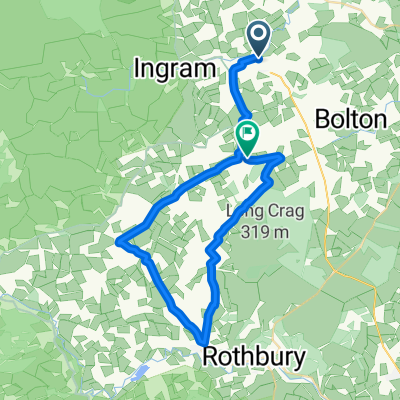
Conrad's Ingram Hill short training run
- 5,6 km
- 131 m
- 128 m
- Whittingham, Angleterre, Royaume-Uni
Un itinéraire vélo au départ de Whittingham, Angleterre, Royaume-Uni.
Vue d'ensemble
Whilst this follows a briidleway and is on access land the return route is somewhat vague, downhill as steep as I dare with little rubber left on the brakes in the dusk!
Slow muddy climb once you leave the tarmac if there has been any rain. Basically I climb a bit, then turn off to the right along the most convienient sheep track and come down the shoulder of the hill. This makes a nice easy downhill, you can choose your own line from the many sheep tracks and finish with the 'technical bit' along the top of the wall towards Bulby's wood.
créé il y a 16 ans
Continuer avec Bikemap
Tu veux parcourir Conrad's Ingram Hill short training run ou l’adapter à ton propre voyage ? Voici ce que tu peux faire avec cet itinéraire Bikemap :
Essai gratuit de 3 jours, ou paiement unique. En savoir plus sur Bikemap Premium.
Découvre plus de fonctionnalités Premium.
Obtiens Bikemap PremiumDe notre communauté
Ouvre-la dans l’app