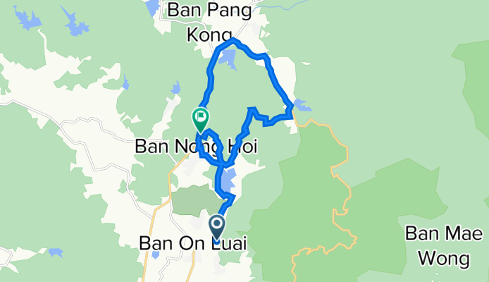
Ma On Mountain Loop
Un itinéraire vélo au départ de Mae On, Chiang Mai, Thaïlande.
Vue d'ensemble
À propos du circuit
Il s'agit d'un parcours de randonnée et de VTT pour cyclistes expérimentés et aventureux. C'est également un excellent itinéraire pédestre si le tronçon de route sur la Route 1317 ne vous dérange pas. Il commence par une section hors route assez plate avant de passer aux routes de village puis à la Route 1317, montant une longue cote raide. En quittant la 1317 pour une route de village plus tranquille, vous prenez à droite pour rejoindre un sentier qui mène à un virage serré à droite dans la jungle, sur un chemin qui vous fait passer par-dessus la montagne. C'est très raide par endroits mais il est possible de pousser votre vélo si vous êtes déterminé. J'ai eu une excellente couverture téléphonique tout au long de la section montagneuse, ce qui facilite la navigation, mais si vous perdez le signal ou la batterie, vous pouvez quand même terminer en suivant soigneusement le sentier, qui est un peu délicat par endroits. C'est un itinéraire modérément difficile.
- -:--
- Durée
- 17,4 km
- Distance
- 400 m
- Montée
- 377 m
- Descente
- ---
- Vit. moyenne
- 697 m
- Altitude max.
Qualité de l’itinéraire
Types de voies et surfaces le long de l’itinéraire
Types de routes
Sentier
3,5 km
(20 %)
Route forestière
3,3 km
(19 %)
surfaces
Pavé
10,3 km
(59 %)
Non pavé
6,8 km
(39 %)
Non pavé (non défini)
6,8 km
(39 %)
Pavé (non défini)
5,8 km
(33 %)
Continuer avec Bikemap
Utilise, modifie ou télécharge cet itinéraire vélo
Tu veux parcourir Ma On Mountain Loop ou l’adapter à ton propre voyage ? Voici ce que tu peux faire avec cet itinéraire Bikemap :
Fonctionnalités gratuites
- Enregistre cet itinéraire comme favori ou dans une collection
- Copie et planifie ta propre version de cet itinéraire
- Synchronise ton itinéraire avec Garmin ou Wahoo
Fonctionnalités Premium
Essai gratuit de 3 jours, ou paiement unique. En savoir plus sur Bikemap Premium.
- Navigue sur cet itinéraire sur iOS et Android
- Exporter un fichier GPX / KML de cet itinéraire
- Crée ton impression personnalisée (essaie-la gratuitement)
- Télécharge cet itinéraire pour la navigation hors ligne
Découvre plus de fonctionnalités Premium.
Obtiens Bikemap PremiumDe notre communauté
Mae On : Autres itinéraires populaires qui commencent ici
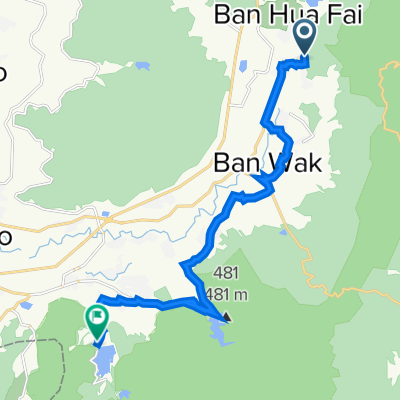 On Nuea, Mae On to On Tai, San Kamphaeng
- Distance
- 20,8 km
- Montée
- 557 m
- Descente
- 591 m
- Emplacement
- Mae On, Chiang Mai, Thaïlande
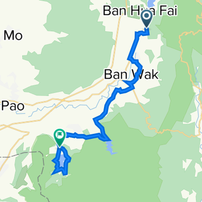 On Neua Loop
- Distance
- 23,1 km
- Montée
- 171 m
- Descente
- 214 m
- Emplacement
- Mae On, Chiang Mai, Thaïlande
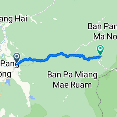 Thailand, ตำบล ห้วยแก้ว to Tambon Huai Kaeo
- Distance
- 10,1 km
- Montée
- 595 m
- Descente
- 111 m
- Emplacement
- Mae On, Chiang Mai, Thaïlande
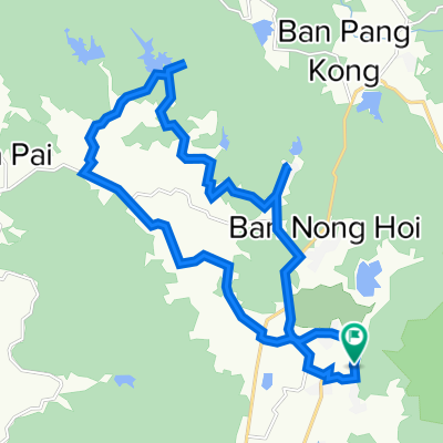 Huai Hong Krai Loop
- Distance
- 28,1 km
- Montée
- 272 m
- Descente
- 269 m
- Emplacement
- Mae On, Chiang Mai, Thaïlande
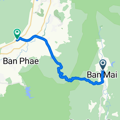 บ้านแม่ตะไคร้ to บ้านสหกรณ์หก
- Distance
- 13,6 km
- Montée
- 315 m
- Descente
- 489 m
- Emplacement
- Mae On, Chiang Mai, Thaïlande
 Chiangmai 1230 Climb
- Distance
- 40,1 km
- Montée
- 715 m
- Descente
- 717 m
- Emplacement
- Mae On, Chiang Mai, Thaïlande
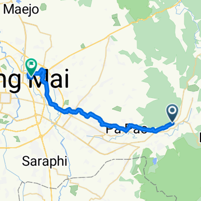 1317, Tambon Ban Sa Ha Khon nach Soi Mu Ban Kluai Mai 198, Tambon San Sai Noi
- Distance
- 33,9 km
- Montée
- 160 m
- Descente
- 234 m
- Emplacement
- Mae On, Chiang Mai, Thaïlande
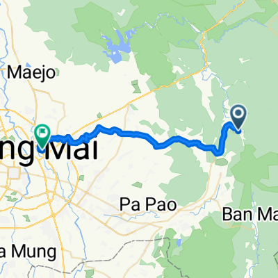 บ้านสหกรณ์ to Home
- Distance
- 40,1 km
- Montée
- 281 m
- Descente
- 526 m
- Emplacement
- Mae On, Chiang Mai, Thaïlande
Ouvre-la dans l’app

