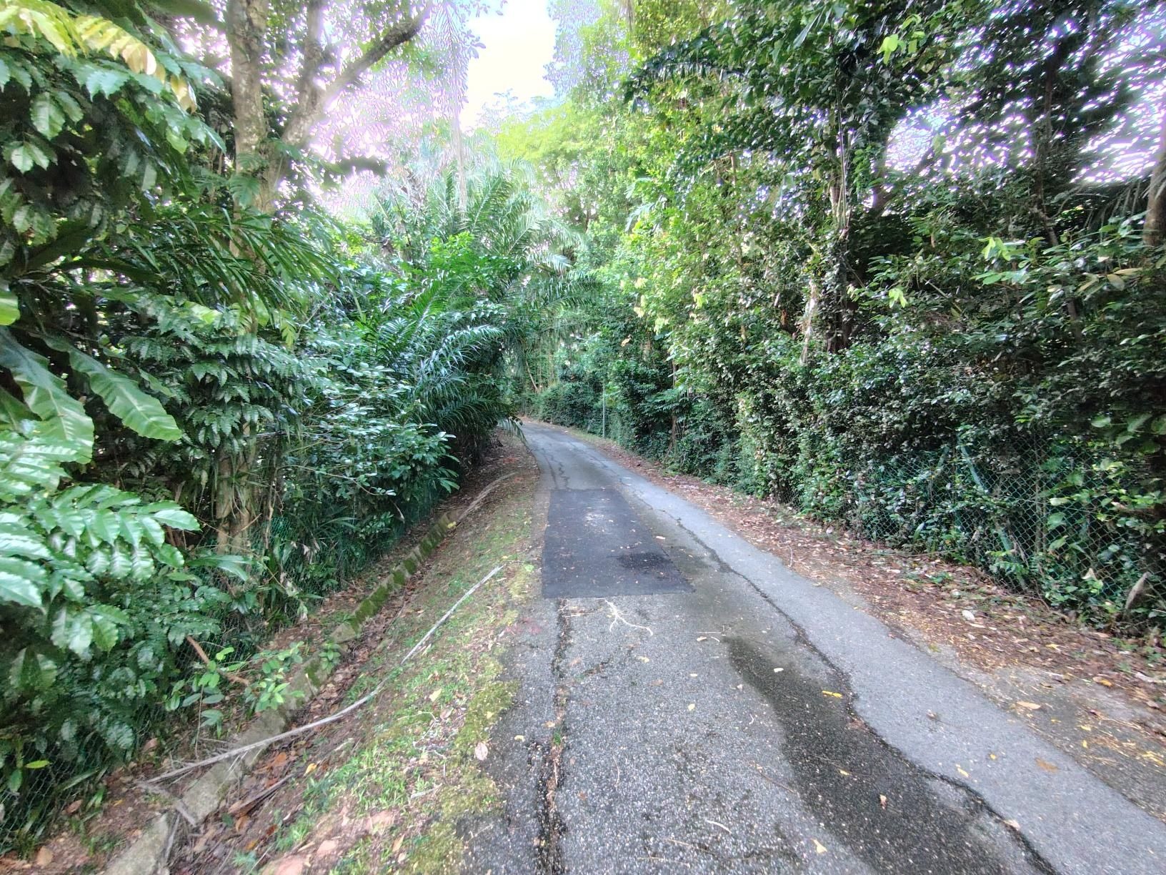
Round Island (+TP1)
Un itinéraire vélo au départ de Singapour, Centre, Singapour.
Vue d'ensemble
À propos du circuit
- -:--
- Durée
- 155,6 km
- Distance
- 1 028 m
- Montée
- 1 029 m
- Descente
- ---
- Vit. moyenne
- 58 m
- Altitude max.
Points forts de l’itinéraire
Points d’intérêt le long de l’itinéraire
Point d'intérêt après 24,5 km
Rest Point 1 - Woodlands Waterway
Point d'intérêt après 33,1 km
Rest Point 2 - Kranji Way
Point d'intérêt après 41,4 km
Rest Point 2.1 - LCK Bus Stop
Eau potable après 47,5 km
Point d'intérêt après 49,7 km
Rest Point 3 - Pioneer MRT
Eau potable après 49,9 km
Caltex Station
Eau potable après 51,7 km
Caltex Station
Point d'intérêt après 58,6 km
Rest Point 5 - Tuas Crescent
Point d'intérêt après 69,8 km
Rest Point 4 - Tuas LP1
Eau potable après 89 km
SPC Station
Eau potable après 92,5 km
Caltex Station
Eau potable après 94,2 km
Esso Petrol Station
Point d'intérêt après 96,2 km
Rest Point 6 - Mcdonalds West Coast
Eau potable après 100,6 km
Shell Station
Eau potable après 100,6 km
SPC Station
Eau potable après 103,6 km
Shell Station
Point d'intérêt après 111,9 km
Rest Point 7 - Marina Barrage
Eau potable après 120,2 km
ECP
Point d'intérêt après 122,2 km
Rest Point 8 - East Coast Lagoon Food Center
Eau potable après 128 km
Before TMCR
Point d'intérêt après 134 km
Rest Point 9 - TMCR
Point d'intérêt après 143,9 km
Rest Point 10 - Changi Village
Continuer avec Bikemap
Utilise, modifie ou télécharge cet itinéraire vélo
Tu veux parcourir Round Island (+TP1) ou l’adapter à ton propre voyage ? Voici ce que tu peux faire avec cet itinéraire Bikemap :
Fonctionnalités gratuites
- Enregistre cet itinéraire comme favori ou dans une collection
- Copie et planifie ta propre version de cet itinéraire
- Divise-le en étapes pour créer un tour sur plusieurs jours
- Synchronise ton itinéraire avec Garmin ou Wahoo
Fonctionnalités Premium
Essai gratuit de 3 jours, ou paiement unique. En savoir plus sur Bikemap Premium.
- Navigue sur cet itinéraire sur iOS et Android
- Exporter un fichier GPX / KML de cet itinéraire
- Crée ton impression personnalisée (essaie-la gratuitement)
- Télécharge cet itinéraire pour la navigation hors ligne
Découvre plus de fonctionnalités Premium.
Obtiens Bikemap PremiumDe notre communauté
Singapour : Autres itinéraires populaires qui commencent ici
 6A Rhu Cross, Tanjong Rhu to 6A Rhu Cross, Tanjong Rhu
- Distance
- 14,5 km
- Montée
- 113 m
- Descente
- 143 m
- Emplacement
- Singapour, Centre, Singapour
 First Round Island for 2021
- Distance
- 122,5 km
- Montée
- 1 707 m
- Descente
- 1 705 m
- Emplacement
- Singapour, Centre, Singapour
 Tampines To Hyderabad/Kay Siang/Ridley Park
- Distance
- 58,1 km
- Montée
- 477 m
- Descente
- 477 m
- Emplacement
- Singapour, Centre, Singapour
 Round Island (+TP1)
- Distance
- 155,6 km
- Montée
- 1 028 m
- Descente
- 1 029 m
- Emplacement
- Singapour, Centre, Singapour
 NorthernScenicExplorer
- Distance
- 38,8 km
- Montée
- 177 m
- Descente
- 177 m
- Emplacement
- Singapour, Centre, Singapour
 Tampines Simei Loop
- Distance
- 14,2 km
- Montée
- 94 m
- Descente
- 91 m
- Emplacement
- Singapour, Centre, Singapour
 RTI Shore Loop
- Distance
- 132 km
- Montée
- 635 m
- Descente
- 642 m
- Emplacement
- Singapour, Centre, Singapour
 Give it a hundred %
- Distance
- 99,7 km
- Montée
- 95 m
- Descente
- 87 m
- Emplacement
- Singapour, Centre, Singapour
Ouvre-la dans l’app


