

Bellach / Weissenstein / Balmberg / Solothurn / Bellach
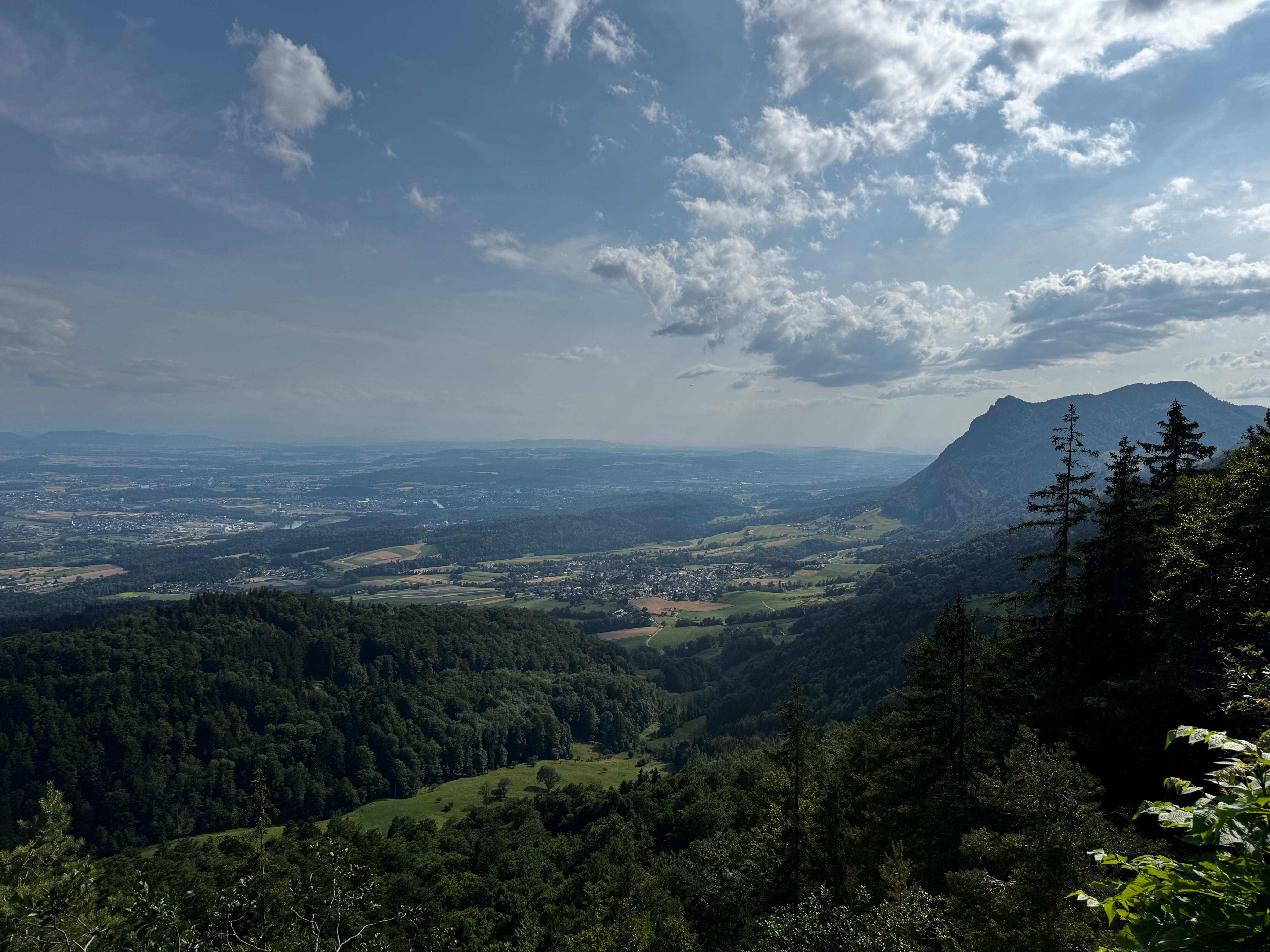
Un itinéraire vélo au départ de Langendorf, Canton de Soleure, Suisse.
Vue d'ensemble
À propos du circuit
- 1 h 45 min
- Durée
- 28,8 km
- Distance
- 1 087 m
- Montée
- 1 090 m
- Descente
- 16,4 km/h
- Vit. moyenne
- 1 282 m
- Altitude max.

Qualité de l’itinéraire
Types de voies et surfaces le long de l’itinéraire
Types de routes
Route
7,2 km
(25 %)
Route forestière
7,2 km
(25 %)
surfaces
Pavé
14,4 km
(50 %)
Non pavé
9,8 km
(34 %)
Asphalte
14,4 km
(50 %)
Gravier
4,3 km
(15 %)
Continuer avec Bikemap
Utilise, modifie ou télécharge cet itinéraire vélo
Tu veux parcourir Bellach / Weissenstein / Balmberg / Solothurn / Bellach ou l’adapter à ton propre voyage ? Voici ce que tu peux faire avec cet itinéraire Bikemap :
Fonctionnalités gratuites
- Enregistre cet itinéraire comme favori ou dans une collection
- Copie et planifie ta propre version de cet itinéraire
- Synchronise ton itinéraire avec Garmin ou Wahoo
Fonctionnalités Premium
Essai gratuit de 3 jours, ou paiement unique. En savoir plus sur Bikemap Premium.
- Navigue sur cet itinéraire sur iOS et Android
- Exporter un fichier GPX / KML de cet itinéraire
- Crée ton impression personnalisée (essaie-la gratuitement)
- Télécharge cet itinéraire pour la navigation hors ligne
Découvre plus de fonctionnalités Premium.
Obtiens Bikemap PremiumDe notre communauté
Langendorf : Autres itinéraires populaires qui commencent ici
 Buechmatt
- Distance
- 45,7 km
- Montée
- 1 038 m
- Descente
- 1 038 m
- Emplacement
- Langendorf, Canton de Soleure, Suisse
 solothurn - Flumenthal - Gerlafingen
- Distance
- 15,5 km
- Montée
- 133 m
- Descente
- 172 m
- Emplacement
- Langendorf, Canton de Soleure, Suisse
 De Weissensteinstrasse 26, Langendorf à Weissensteinstrasse 26, Langendorf
- Distance
- 59,9 km
- Montée
- 2 231 m
- Descente
- 2 722 m
- Emplacement
- Langendorf, Canton de Soleure, Suisse
 Römerstrasse, Bellach nach Römerstrasse, Bellach
- Distance
- 59 km
- Montée
- 953 m
- Descente
- 951 m
- Emplacement
- Langendorf, Canton de Soleure, Suisse
 Langendorf SO - Brugg + Brugg - Uster / Nossikon
- Distance
- 167,2 km
- Montée
- 1 368 m
- Descente
- 1 399 m
- Emplacement
- Langendorf, Canton de Soleure, Suisse
 Slowup Buechibärg
- Distance
- 48,7 km
- Montée
- 315 m
- Descente
- 324 m
- Emplacement
- Langendorf, Canton de Soleure, Suisse
 Laufenburg
- Distance
- 86,2 km
- Montée
- 471 m
- Descente
- 601 m
- Emplacement
- Langendorf, Canton de Soleure, Suisse
 Weissensteinstrasse 187, Oberdorf nach Weissensteinstrasse 187, Oberdorf
- Distance
- 60,5 km
- Montée
- 1 195 m
- Descente
- 1 364 m
- Emplacement
- Langendorf, Canton de Soleure, Suisse
Ouvre-la dans l’app