14, Marine Park, Leven to A917, Broomlees, Kilconquhar, Leven
- 2,7 km
- 22 m
- 8 m
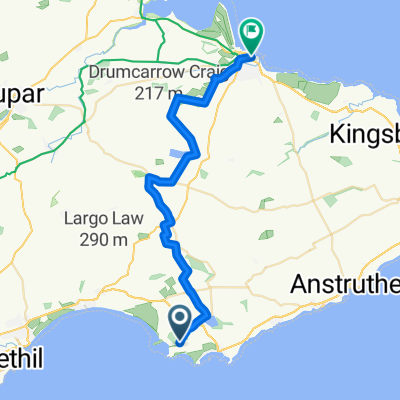
- Saint Monans, Ecosse, Royaume-Uni
Un itinéraire vélo au départ de Saint Monans, Ecosse, Royaume-Uni.
Vue d'ensemble
Striking north from Chapel Green and off the Fife Coastal Path, in the footsteps of early pilgrims heading to St Andrews, the Way continues along quiet roads and tracks until Largo Ward, where there is a strip of main road with a grass verge, past the famous Peat Inn, to Radernie, where it is signposted to Cameron Reservoir . This ancient pilgrim path is currently being restored but may be muddy in parts. After Cameron Reservoir the Way passes through Denhead and the welcoming Golf Club House at Craigtoun with a great view onto the spires of St Andrews, the long sandy beaches, and the North Sea before descending along the picturesque burn and forest track of Lumbo burn to St Andrews.
This is the 5th and final section of St Margaret’s Way, the great 100km pilgrimage trail from Edinburgh to St Andrews, part of the revival of the 1000 year old pilgrimage, The Way of St Andrews. (http://www.thewayofstandrews.com)
créé il y a 14 ans
Continuer avec Bikemap
Tu veux parcourir St Margarets Way- Earlsferry to St Andrews ou l’adapter à ton propre voyage ? Voici ce que tu peux faire avec cet itinéraire Bikemap :
Essai gratuit de 3 jours, ou paiement unique. En savoir plus sur Bikemap Premium.
Découvre plus de fonctionnalités Premium.
Obtiens Bikemap PremiumDe notre communauté
Ouvre-la dans l’app