

Arlington to Seattle
Un itinéraire vélo au départ de Smokey Point, Washington, États Unis.
Vue d'ensemble
À propos du circuit
Une grande partie de cet itinéraire était sur des pistes cyclables pavées. Le Centennial Trail, d'Arlington jusqu'à Snohomish, était merveilleux et permettait de rouler vite. Le North Creek Trail, en revanche, zigzaguait et serait idéal pour quiconque n'est pas pressé. Et bien sûr, le Burke-Gilman Trail est également merveilleux et rapide.
Les routes initiales au sud-ouest de Snohomish avaient trop de voitures et pas de bande d'arrêt d'urgence jusqu'à ce que nous soyons bien sur la Seattle Hill Road. Depuis que la piste cyclable a commencé jusqu'à ce que nous tournions sur le Bothell-Everett Highway, la Seattle Hill Road était excellente. Cependant, pour rejoindre la Seattle Hill Road, il y avait non seulement plusieurs miles sans bande d'arrêt, mais aussi une courte mais très forte montée qui était aussi sans bande d'arrêt. Nous avons retenu le trafic pendant que nous montions lentement. Si nous passons à nouveau par Snohomish, nous devons voir quelle meilleure route pourrait exister pour éviter ces routes chargées et sans bande d'arrêt et cette montée abrupte sans bande d'arrêt.
Le Bothell-Everett Highway était rapide avec une piste cyclable assez bonne, mais il était très fréquenté et bruyant.
- 6 h 56 min
- Durée
- 97,6 km
- Distance
- 1 514 m
- Montée
- 1 459 m
- Descente
- 14,1 km/h
- Vit. moyenne
- 145 m
- Altitude max.

Photos de l’itinéraire


Continuer avec Bikemap
Utilise, modifie ou télécharge cet itinéraire vélo
Tu veux parcourir Arlington to Seattle ou l’adapter à ton propre voyage ? Voici ce que tu peux faire avec cet itinéraire Bikemap :
Fonctionnalités gratuites
- Enregistre cet itinéraire comme favori ou dans une collection
- Copie et planifie ta propre version de cet itinéraire
- Divise-le en étapes pour créer un tour sur plusieurs jours
- Synchronise ton itinéraire avec Garmin ou Wahoo
Fonctionnalités Premium
Essai gratuit de 3 jours, ou paiement unique. En savoir plus sur Bikemap Premium.
- Navigue sur cet itinéraire sur iOS et Android
- Exporter un fichier GPX / KML de cet itinéraire
- Crée ton impression personnalisée (essaie-la gratuitement)
- Télécharge cet itinéraire pour la navigation hors ligne
Découvre plus de fonctionnalités Premium.
Obtiens Bikemap PremiumDe notre communauté
Smokey Point : Autres itinéraires populaires qui commencent ici
 Arlington to Seattle
- Distance
- 97,6 km
- Montée
- 1 514 m
- Descente
- 1 459 m
- Emplacement
- Smokey Point, Washington, États Unis
 18828 Smokey Point Blvd, Arlington to 14714–14798 Summers Dr, Mount Vernon
- Distance
- 42,1 km
- Montée
- 330 m
- Descente
- 348 m
- Emplacement
- Smokey Point, Washington, États Unis
 Easy ride in Arlington
- Distance
- 40,9 km
- Montée
- 196 m
- Descente
- 195 m
- Emplacement
- Smokey Point, Washington, États Unis
 hdjdj
hdjdj- Distance
- 29,1 km
- Montée
- 653 m
- Descente
- 634 m
- Emplacement
- Smokey Point, Washington, États Unis
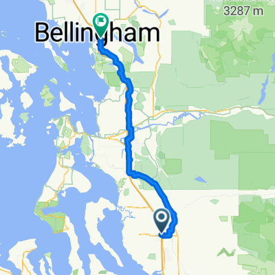
 172nd St NE, Arlington to Lakeway Dr, Bellingham
- Distance
- 93,7 km
- Montée
- 604 m
- Descente
- 593 m
- Emplacement
- Smokey Point, Washington, États Unis
 15405 67th Ave NE, Arlington to 15405 67th Ave NE, Arlington
- Distance
- 11,1 km
- Montée
- 86 m
- Descente
- 87 m
- Emplacement
- Smokey Point, Washington, États Unis
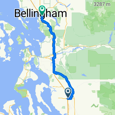
 Smokey Point Dr, Arlington to Lakeway Dr, Bellingham
- Distance
- 92,3 km
- Montée
- 964 m
- Descente
- 952 m
- Emplacement
- Smokey Point, Washington, États Unis
 15291–15359 67th Ave NE, Arlington to 15405 67th Ave NE, Arlington
- Distance
- 5,2 km
- Montée
- 23 m
- Descente
- 23 m
- Emplacement
- Smokey Point, Washington, États Unis
Ouvre-la dans l’app