

Shap Circular via Ullswater and Windermere
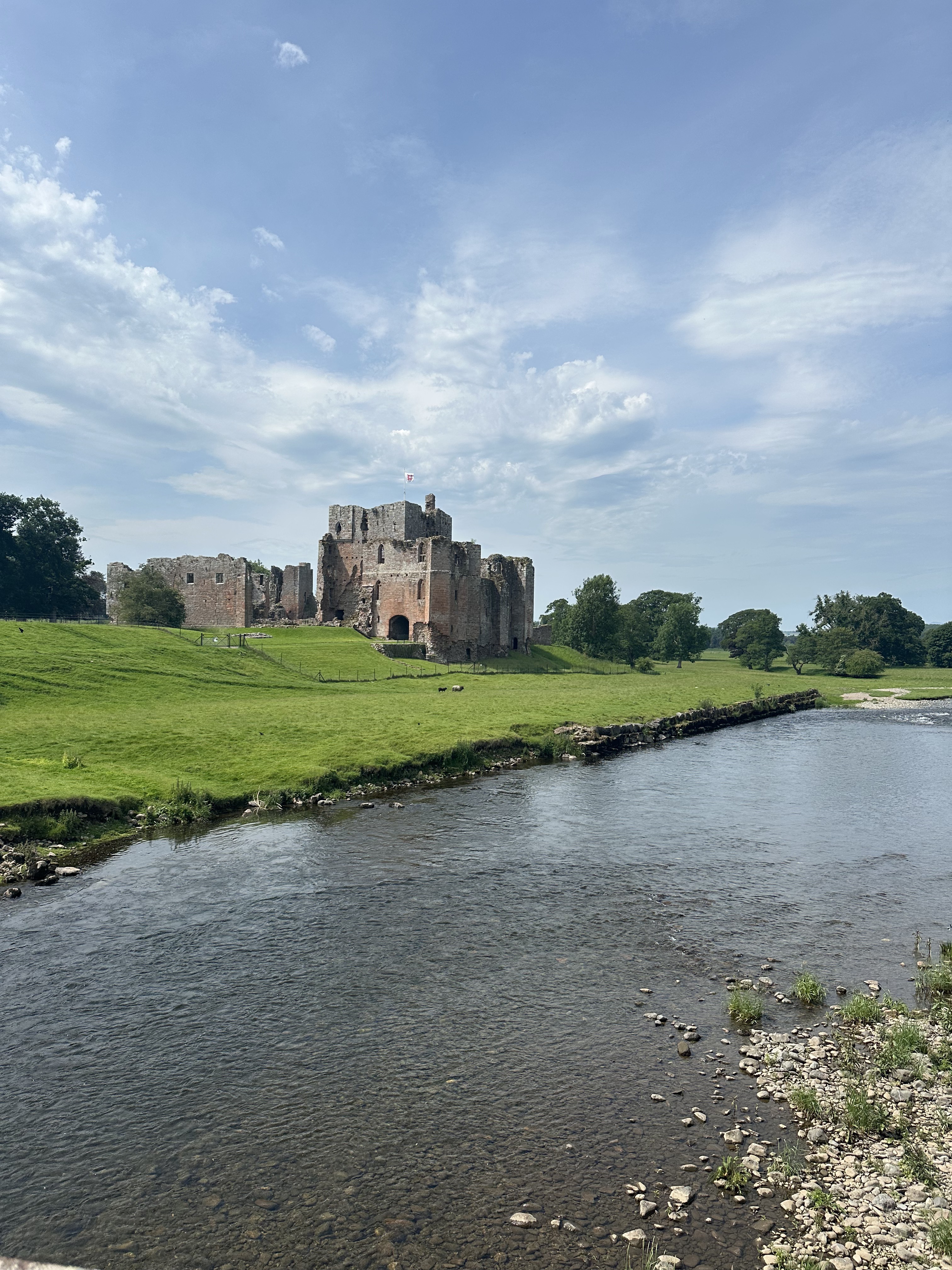
Un itinéraire vélo au départ de Appleby-in-Westmorland, England, United Kingdom.
Vue d'ensemble
À propos du circuit
A picturesque circular route starting and finishing at the hilltop village of Shap.
Taking in two big climbs in Kirkstone Pass and Shap Road (A6) out of Kendal, as well as some scenic Lakeland roads alongside Ullswater and Windermere.
- -:--
- Durée
- 121,6 km
- Distance
- 1 097 m
- Montée
- 1 096 m
- Descente
- ---
- Vit. moyenne
- ---
- Altitude max.
Qualité de l’itinéraire
Types de voies et surfaces le long de l’itinéraire
Types de routes
Route fréquentée
48,7 km
(40 %)
Piste cyclable
26,8 km
(22 %)
surfaces
Pavé
45 km
(37 %)
Non pavé
2,6 km
(2 %)
Asphalte
45 km
(37 %)
Gravier
1,3 km
(1 %)
Continuer avec Bikemap
Utilise, modifie ou télécharge cet itinéraire vélo
Tu veux parcourir Shap Circular via Ullswater and Windermere ou l’adapter à ton propre voyage ? Voici ce que tu peux faire avec cet itinéraire Bikemap :
Fonctionnalités gratuites
- Enregistre cet itinéraire comme favori ou dans une collection
- Copie et planifie ta propre version de cet itinéraire
- Divise-le en étapes pour créer un tour sur plusieurs jours
- Synchronise ton itinéraire avec Garmin ou Wahoo
Fonctionnalités Premium
Essai gratuit de 3 jours, ou paiement unique. En savoir plus sur Bikemap Premium.
- Navigue sur cet itinéraire sur iOS et Android
- Exporter un fichier GPX / KML de cet itinéraire
- Crée ton impression personnalisée (essaie-la gratuitement)
- Télécharge cet itinéraire pour la navigation hors ligne
Découvre plus de fonctionnalités Premium.
Obtiens Bikemap PremiumDe notre communauté
Appleby-in-Westmorland : Autres itinéraires populaires qui commencent ici
 Shap Circular via Ullswater and Windermere
- Distance
- 121,6 km
- Montée
- 1 097 m
- Descente
- 1 096 m
- Emplacement
- Appleby-in-Westmorland, England, United Kingdom
 crosby ravensworth- 7 miler
- Distance
- 18,5 km
- Montée
- 229 m
- Descente
- 230 m
- Emplacement
- Appleby-in-Westmorland, England, United Kingdom
 England 8: R68-6 Appleby-Alston
- Distance
- 55,5 km
- Montée
- 655 m
- Descente
- 530 m
- Emplacement
- Appleby-in-Westmorland, England, United Kingdom
 Boroughgate, Appleby-In-Westmorland to Great Dockray, Penrith
- Distance
- 28,1 km
- Montée
- 395 m
- Descente
- 394 m
- Emplacement
- Appleby-in-Westmorland, England, United Kingdom
 The Fat Lamb and The Kings Arms Eden Valley Cycle Ride - Short Route
- Distance
- 19,7 km
- Montée
- 213 m
- Descente
- 217 m
- Emplacement
- Appleby-in-Westmorland, England, United Kingdom
 Route to Dufton, Appleby-in-Westmorland
- Distance
- 18,1 km
- Montée
- 210 m
- Descente
- 209 m
- Emplacement
- Appleby-in-Westmorland, England, United Kingdom
 Great Dun Fell
- Distance
- 10,2 km
- Montée
- 707 m
- Descente
- 29 m
- Emplacement
- Appleby-in-Westmorland, England, United Kingdom
 New Way of the Rings Days 2 Shap to Sedburgh
- Distance
- 49,4 km
- Montée
- 570 m
- Descente
- 703 m
- Emplacement
- Appleby-in-Westmorland, England, United Kingdom
Ouvre-la dans l’app