Austin - Circle thru Lost Creek Blvd to Barton Creek and Costco
Un itinéraire vélo au départ de Rollingwood, Texas, États Unis.
Vue d'ensemble
À propos du circuit
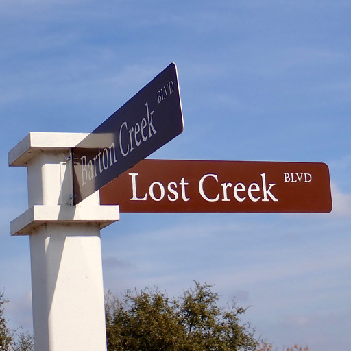
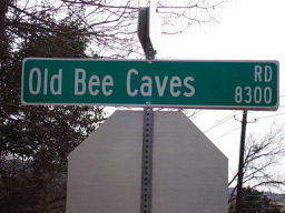
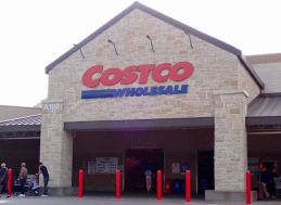
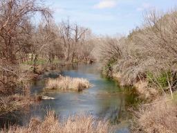
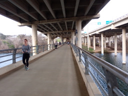
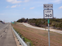
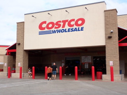
La balade d'aujourd'hui était un grand circuit vers Costco via Lost Creek Rd et Barton Creek en utilisant la piste cyclable locale 64. Il y avait quelques montées et descentes vraiment raides qui m'ont sorti de la selle dans mon rapport le plus bas, essayant juste de rester vertical. Heureusement, aucune d'entre elles n'était très longue, mais certainement assez longue pour être essoufflé au moment où j'ai atteint le sommet. Cette balade passait principalement à travers des quartiers, à l'exception de la partie de la balade qui suit la route de service et le chemin de cyclisme le long de Mopac.
- 3 h 7 min
- Durée
- 41,4 km
- Distance
- 572 m
- Montée
- 572 m
- Descente
- 13,3 km/h
- Vit. moyenne
- 302 m
- Altitude max.
Photos de l’itinéraire
Qualité de l’itinéraire
Types de voies et surfaces le long de l’itinéraire
Types de routes
Route
17,8 km
(43 %)
Piste cyclable
6,6 km
(16 %)
surfaces
Pavé
33,9 km
(82 %)
Non pavé
0,4 km
(1 %)
Asphalte
27,7 km
(67 %)
Béton
5,8 km
(14 %)
Continuer avec Bikemap
Utilise, modifie ou télécharge cet itinéraire vélo
Tu veux parcourir Austin - Circle thru Lost Creek Blvd to Barton Creek and Costco ou l’adapter à ton propre voyage ? Voici ce que tu peux faire avec cet itinéraire Bikemap :
Fonctionnalités gratuites
- Enregistre cet itinéraire comme favori ou dans une collection
- Copie et planifie ta propre version de cet itinéraire
- Synchronise ton itinéraire avec Garmin ou Wahoo
Fonctionnalités Premium
Essai gratuit de 3 jours, ou paiement unique. En savoir plus sur Bikemap Premium.
- Navigue sur cet itinéraire sur iOS et Android
- Exporter un fichier GPX / KML de cet itinéraire
- Crée ton impression personnalisée (essaie-la gratuitement)
- Télécharge cet itinéraire pour la navigation hors ligne
Découvre plus de fonctionnalités Premium.
Obtiens Bikemap PremiumDe notre communauté
Rollingwood : Autres itinéraires populaires qui commencent ici
 Austin - Circle to MT Supermarket and Costco
- Distance
- 50,5 km
- Montée
- 428 m
- Descente
- 428 m
- Emplacement
- Rollingwood, Texas, États Unis
 Austin - Circle to Bee Cave
- Distance
- 44,6 km
- Montée
- 562 m
- Descente
- 564 m
- Emplacement
- Rollingwood, Texas, États Unis
 Austin - Circle Southeast to Richard Moya Park
- Distance
- 47,2 km
- Montée
- 288 m
- Descente
- 288 m
- Emplacement
- Rollingwood, Texas, États Unis
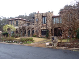 Austin - Random Riding in Neighborhood North of MUNY Golf Course
- Distance
- 18,7 km
- Montée
- 290 m
- Descente
- 290 m
- Emplacement
- Rollingwood, Texas, États Unis
 Buda loop - 37 mi
- Distance
- 60,2 km
- Montée
- 212 m
- Descente
- 213 m
- Emplacement
- Rollingwood, Texas, États Unis
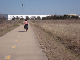 Austin to Giddings
- Distance
- 113,7 km
- Montée
- 492 m
- Descente
- 529 m
- Emplacement
- Rollingwood, Texas, États Unis
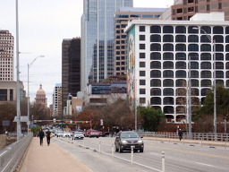 Austin - Circle to McKinney Falls State Park
- Distance
- 40,3 km
- Montée
- 360 m
- Descente
- 355 m
- Emplacement
- Rollingwood, Texas, États Unis
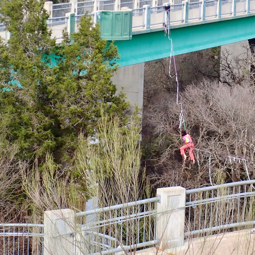 Austin - Circle thru Lost Creek Blvd to Barton Creek and Costco
- Distance
- 41,4 km
- Montée
- 572 m
- Descente
- 572 m
- Emplacement
- Rollingwood, Texas, États Unis
Ouvre-la dans l’app


