Via Transilvanica, Section 4: Terra Saxonum (official)
Un itinéraire vélo au départ de Saschiz, Mureș, Roumanie.
Vue d'ensemble
À propos du circuit
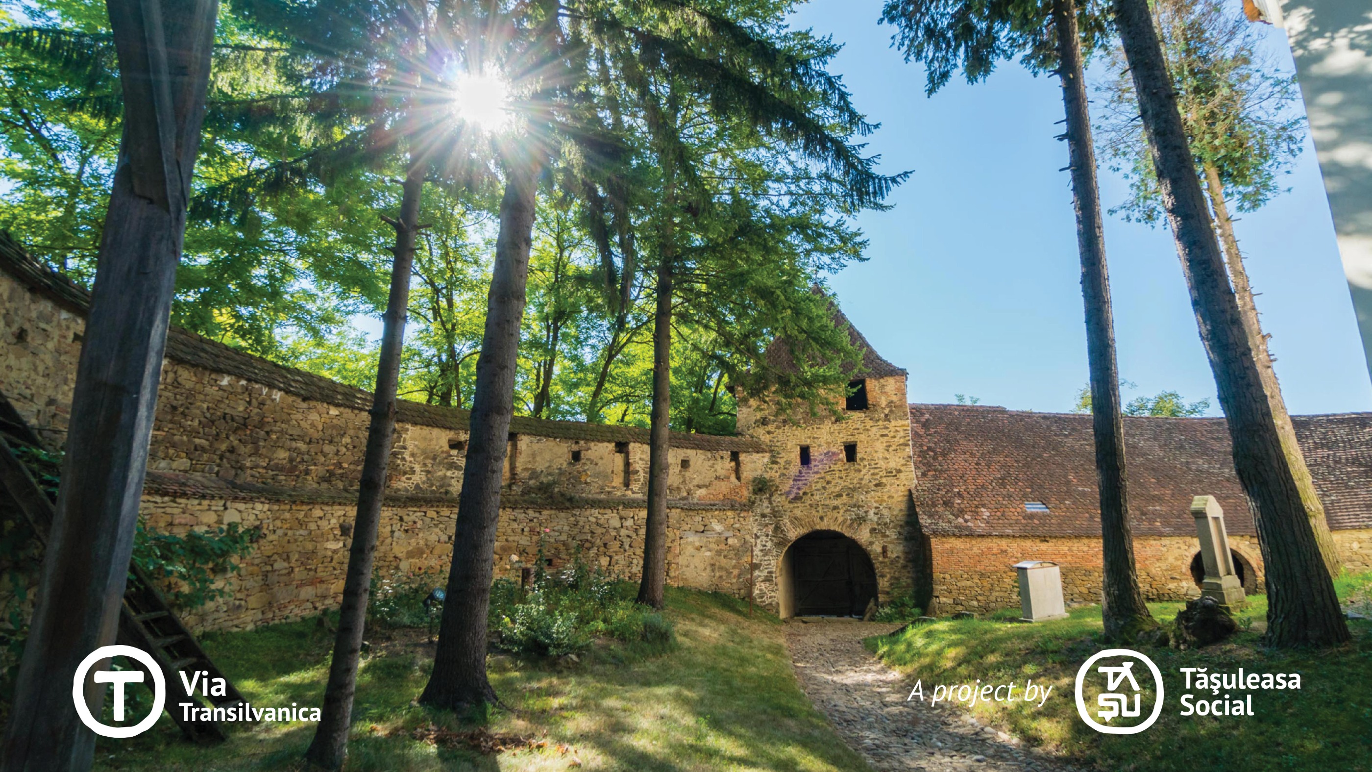
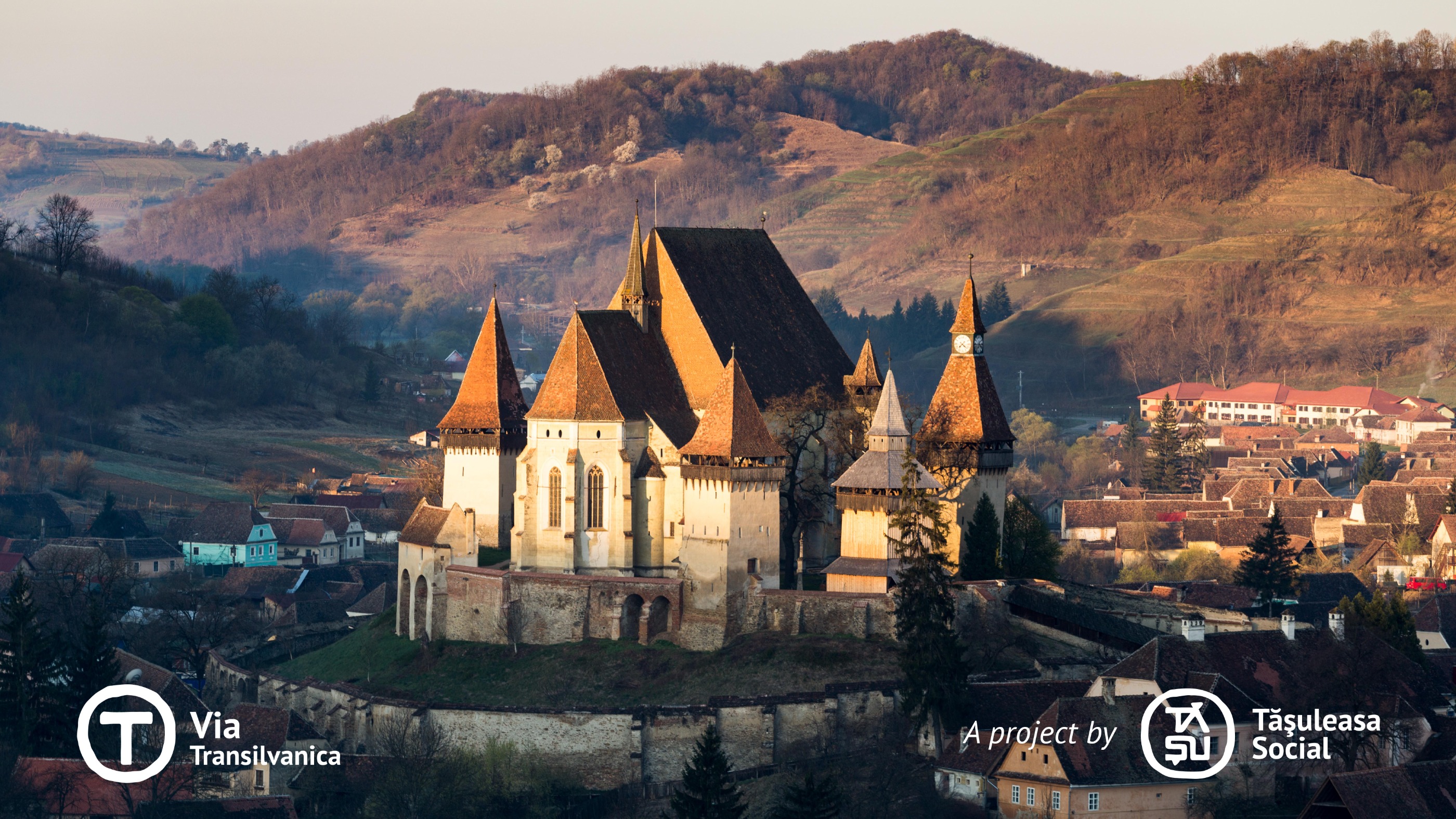
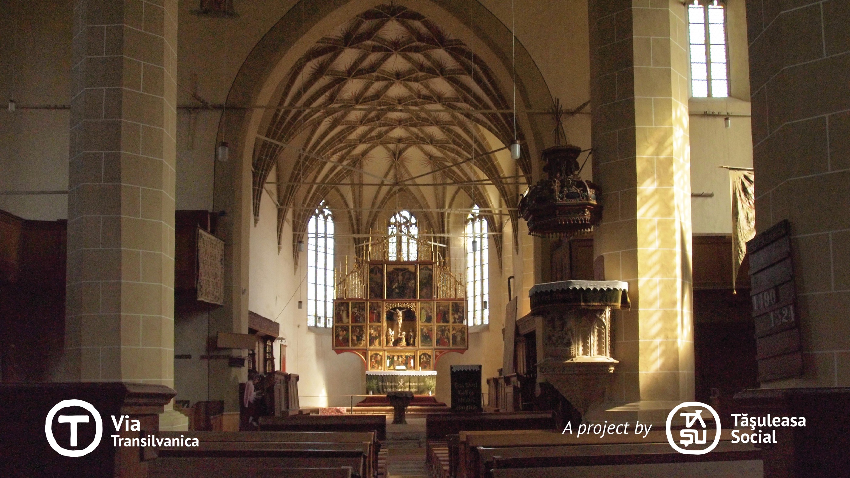
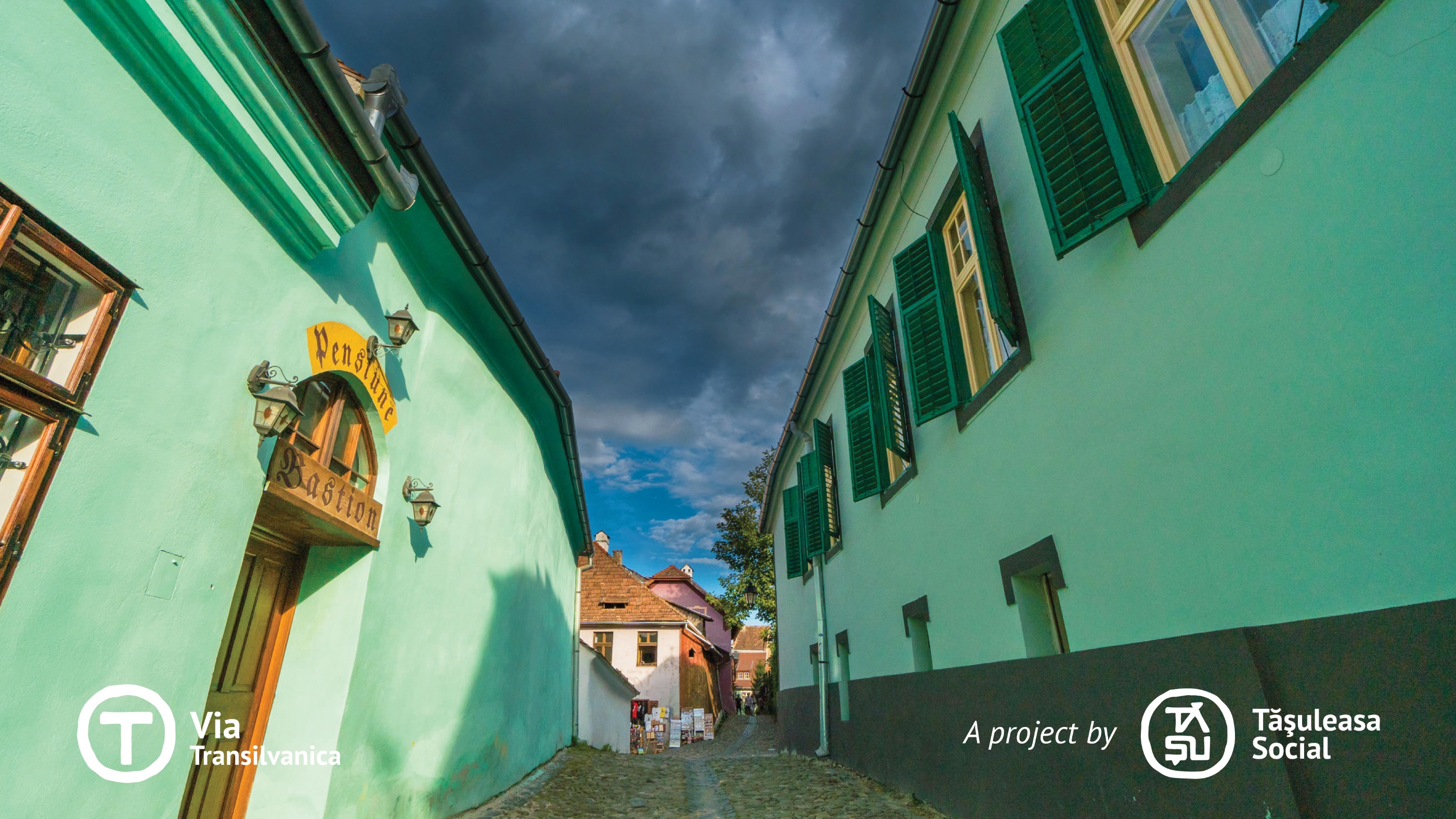
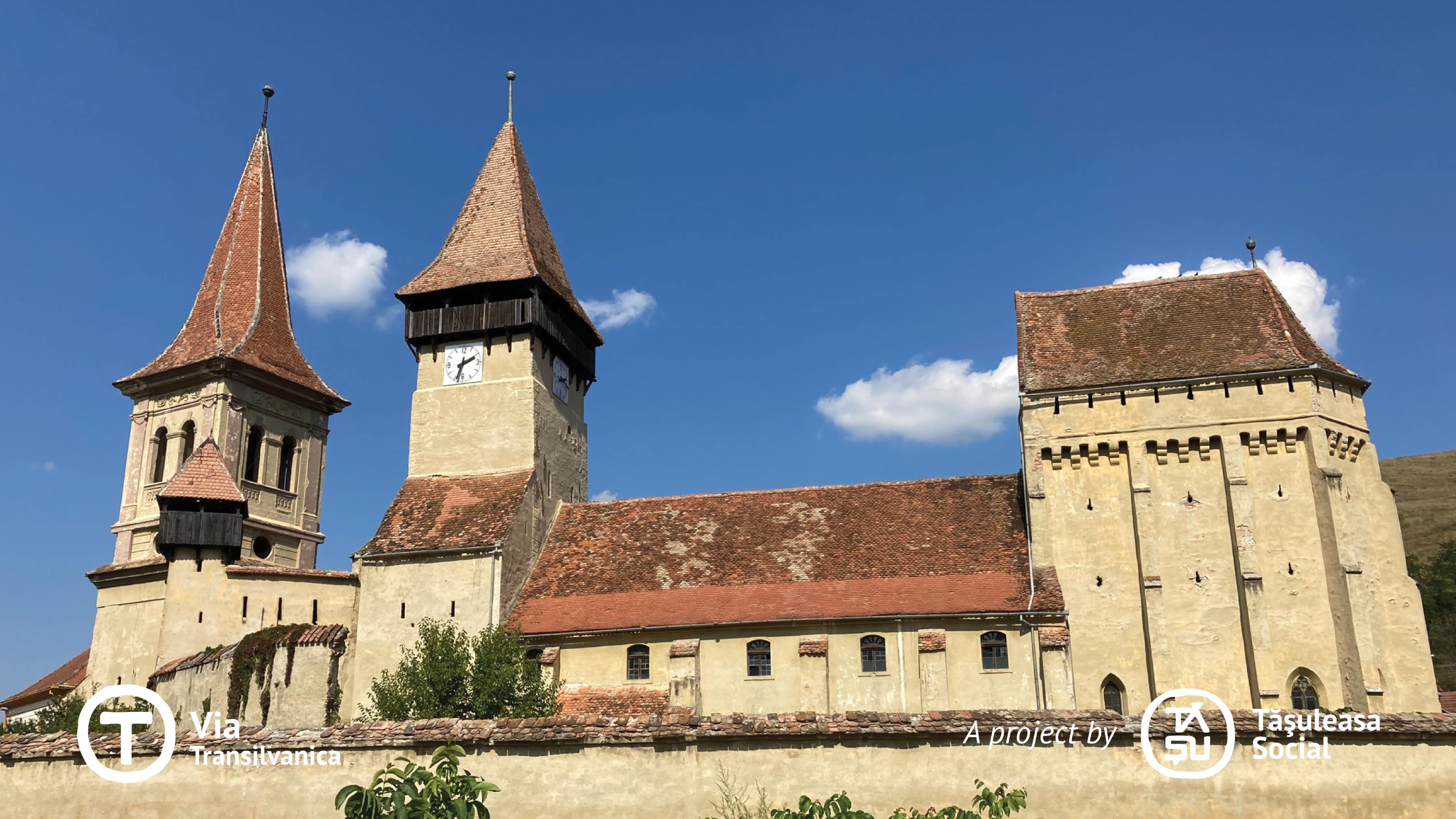
Terra Saxonum est la terre des Saxons, un peuple d'origine germanique invité à s'installer en Transylvanie par les rois hongrois aux XIIe et XIIIe siècles. Cette région est typique de l'héritage qu'ils ont laissé en Transylvanie, visible dans l'architecture distinctive de leurs maisons, les églises fortifiées et la célèbre tour au bacon. La communauté saxonne était réputée pour son unité, et la tour au bacon — présente dans presque chaque village avec une église fortifiée — servait de lieu de stockage commun où toute la communauté conservait ses provisions hivernales. La tour était ouverte le dimanche ou le samedi, permettant aux habitants de prendre leurs provisions hebdomadaires sans déranger le bacon des autres. Aujourd'hui, les terres saxonnes restent un patrimoine remarquable de Transylvanie, préservant un chapitre important de l'histoire de la Roumanie. Le voyage à travers Terra Saxonum est inoubliable — offrant à la fois des leçons inestimables et une beauté sans pareille. Plus d'informations : https://www.viatransilvanica.com/en/
- -:--
- Durée
- 200,8 km
- Distance
- 4 916 m
- Montée
- 5 105 m
- Descente
- ---
- Vit. moyenne
- 729 m
- Altitude max.
Photos de l’itinéraire
Continuer avec Bikemap
Utilise, modifie ou télécharge cet itinéraire vélo
Tu veux parcourir Via Transilvanica, Section 4: Terra Saxonum (official) ou l’adapter à ton propre voyage ? Voici ce que tu peux faire avec cet itinéraire Bikemap :
Fonctionnalités gratuites
- Enregistre cet itinéraire comme favori ou dans une collection
- Copie et planifie ta propre version de cet itinéraire
- Divise-le en étapes pour créer un tour sur plusieurs jours
- Synchronise ton itinéraire avec Garmin ou Wahoo
Fonctionnalités Premium
Essai gratuit de 3 jours, ou paiement unique. En savoir plus sur Bikemap Premium.
- Navigue sur cet itinéraire sur iOS et Android
- Exporter un fichier GPX / KML de cet itinéraire
- Crée ton impression personnalisée (essaie-la gratuitement)
- Télécharge cet itinéraire pour la navigation hors ligne
Découvre plus de fonctionnalités Premium.
Obtiens Bikemap PremiumDe notre communauté
Saschiz : Autres itinéraires populaires qui commencent ici
 D2 Saschiz - Vf. Katzenberg - Mesendorf - Cloasterf - Crit - Saschiz
- Distance
- 49,2 km
- Montée
- 926 m
- Descente
- 926 m
- Emplacement
- Saschiz, Mureș, Roumanie
 cloasterf - crit
- Distance
- 4,3 km
- Montée
- 151 m
- Descente
- 147 m
- Emplacement
- Saschiz, Mureș, Roumanie
 TBT-race-2016
- Distance
- 41,6 km
- Montée
- 634 m
- Descente
- 637 m
- Emplacement
- Saschiz, Mureș, Roumanie
 Traseul Lung TBTRace 2017
- Distance
- 76,6 km
- Montée
- 1 053 m
- Descente
- 1 055 m
- Emplacement
- Saschiz, Mureș, Roumanie
 Colinele Transilvaniei: Circuit Daia - Angofa - Breite - Sighișoara - Daia
- Distance
- 42,4 km
- Montée
- 992 m
- Descente
- 992 m
- Emplacement
- Saschiz, Mureș, Roumanie
 D6 Saschiz - Archita - Beia - Homorod
- Distance
- 57,1 km
- Montée
- 337 m
- Descente
- 303 m
- Emplacement
- Saschiz, Mureș, Roumanie
 Saschiz - Sapartoc
- Distance
- 12,5 km
- Montée
- 314 m
- Descente
- 241 m
- Emplacement
- Saschiz, Mureș, Roumanie
 Szaszkezd eltero gerinc - Mese
- Distance
- 15,8 km
- Montée
- 287 m
- Descente
- 332 m
- Emplacement
- Saschiz, Mureș, Roumanie
Ouvre-la dans l’app


