Houston-West University Place to Conroe
Un itinéraire vélo au départ de Southside Place, Texas, États Unis.
Vue d'ensemble
À propos du circuit
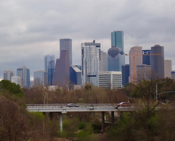
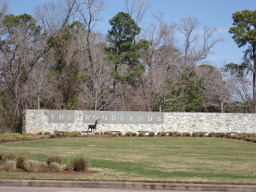
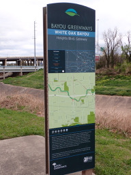
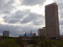
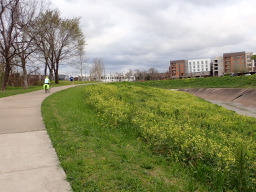
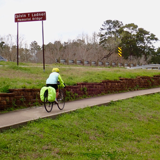
En sortant sur la route, c'était définitivement une balade de A à B ; ce n'est pas une balade de plaisir. Il n'y avait pratiquement pas d'accotement ni de pistes cyclables le long des routes principales. Il y avait d'excellents chemins pour vélos tant dans les Woodlands qu'après être entré à Houston le long du White Oak Bayou Greenway. La majeure partie du trajet s'est faite sur des routes à quatre voies sans accotement. Comme le trafic était principalement léger, ce n'était pas un problème. En roulant au cœur de Houston, nous étions pratiquement exclusivement sur des routes de quartier avec des marquages à vélo sur la route et très peu ou pas de trafic.
Une balade très plate.
- 6 h 43 min
- Durée
- 83,5 km
- Distance
- 203 m
- Montée
- 174 m
- Descente
- 12,4 km/h
- Vit. moyenne
- 55 m
- Altitude max.
Photos de l’itinéraire
Qualité de l’itinéraire
Types de voies et surfaces le long de l’itinéraire
Types de routes
Piste cyclable
13,4 km
(16 %)
Route tranquille
11,7 km
(14 %)
surfaces
Pavé
33,4 km
(40 %)
Béton
16,7 km
(20 %)
Asphalte
10,9 km
(13 %)
Continuer avec Bikemap
Utilise, modifie ou télécharge cet itinéraire vélo
Tu veux parcourir Houston-West University Place to Conroe ou l’adapter à ton propre voyage ? Voici ce que tu peux faire avec cet itinéraire Bikemap :
Fonctionnalités gratuites
- Enregistre cet itinéraire comme favori ou dans une collection
- Copie et planifie ta propre version de cet itinéraire
- Divise-le en étapes pour créer un tour sur plusieurs jours
- Synchronise ton itinéraire avec Garmin ou Wahoo
Fonctionnalités Premium
Essai gratuit de 3 jours, ou paiement unique. En savoir plus sur Bikemap Premium.
- Navigue sur cet itinéraire sur iOS et Android
- Exporter un fichier GPX / KML de cet itinéraire
- Crée ton impression personnalisée (essaie-la gratuitement)
- Télécharge cet itinéraire pour la navigation hors ligne
Découvre plus de fonctionnalités Premium.
Obtiens Bikemap PremiumDe notre communauté
Southside Place : Autres itinéraires populaires qui commencent ici
 2640 Cason St, West University Place to 1475 W Gray St, Houston
- Distance
- 6,8 km
- Montée
- 3 m
- Descente
- 0 m
- Emplacement
- Southside Place, Texas, États Unis
 Houston-West University Place to Conroe
- Distance
- 83,5 km
- Montée
- 203 m
- Descente
- 174 m
- Emplacement
- Southside Place, Texas, États Unis
 3.6 Mile Brays Bayou route
- Distance
- 3,6 km
- Montée
- 68 m
- Descente
- 63 m
- Emplacement
- Southside Place, Texas, États Unis
 3.64 Mile ride down Braes Bayou inside 610
- Distance
- 5,9 km
- Montée
- 41 m
- Descente
- 43 m
- Emplacement
- Southside Place, Texas, États Unis
 Exploration Zoo/Rice
- Distance
- 20,6 km
- Montée
- 76 m
- Descente
- 76 m
- Emplacement
- Southside Place, Texas, États Unis
 braes bayou
- Distance
- 10 km
- Montée
- 121 m
- Descente
- 123 m
- Emplacement
- Southside Place, Texas, États Unis
 Home to Hermann Park
- Distance
- 8,7 km
- Montée
- 91 m
- Descente
- 80 m
- Emplacement
- Southside Place, Texas, États Unis
 braeswood Loop
- Distance
- 19,8 km
- Montée
- 42 m
- Descente
- 41 m
- Emplacement
- Southside Place, Texas, États Unis
Ouvre-la dans l’app


