Day2:新竹→台中
Un itinéraire vélo au départ de Hsinchu, Taiwan, Taïwan.
Vue d'ensemble
À propos du circuit
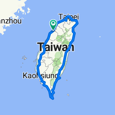
★ Distance : 112 KM ★ Difficulté : ★★ (parcours plus long) ★ Itinéraire : Hsinchu → tourner à droite à Xiangshan vers la nationale 13 → tourner à droite à Zhunan vers la nationale 13甲 → tourner à droite à la nationale 1己 → tourner à gauche à la nationale 61 de la côte ouest → Baishatun nationale 1 → tourner à gauche à Shekou vers la nationale 10 → Daya nationale 1乙 → Ville de Taichung
★ Attractions : Baishatun, Université Nationale de Chung Hsing, Université de Tunghai, Marché Nocturne de Feng Chia
★ Ou passer la nuit à Dajia, ou se diriger vers la ligne de montagne Miaoli Sanyi (un jour de plus pour jouer à Taichung).
- -:--
- Durée
- 112,4 km
- Distance
- 418 m
- Montée
- 365 m
- Descente
- ---
- Vit. moyenne
- ---
- Altitude max.
Points forts de l’itinéraire
Points d’intérêt le long de l’itinéraire
Point d'intérêt après 112,3 km
西螺大橋
Continuer avec Bikemap
Utilise, modifie ou télécharge cet itinéraire vélo
Tu veux parcourir Day2:新竹→台中 ou l’adapter à ton propre voyage ? Voici ce que tu peux faire avec cet itinéraire Bikemap :
Fonctionnalités gratuites
- Enregistre cet itinéraire comme favori ou dans une collection
- Copie et planifie ta propre version de cet itinéraire
- Divise-le en étapes pour créer un tour sur plusieurs jours
- Synchronise ton itinéraire avec Garmin ou Wahoo
Fonctionnalités Premium
Essai gratuit de 3 jours, ou paiement unique. En savoir plus sur Bikemap Premium.
- Navigue sur cet itinéraire sur iOS et Android
- Exporter un fichier GPX / KML de cet itinéraire
- Crée ton impression personnalisée (essaie-la gratuitement)
- Télécharge cet itinéraire pour la navigation hors ligne
Découvre plus de fonctionnalités Premium.
Obtiens Bikemap PremiumDe notre communauté
Hsinchu : Autres itinéraires populaires qui commencent ici
 飛鳳山 側面上 (A)
- Distance
- 34,2 km
- Montée
- 281 m
- Descente
- 276 m
- Emplacement
- Hsinchu, Taiwan, Taïwan
 二寮神木 (Beipu)
- Distance
- 43,9 km
- Montée
- 618 m
- Descente
- 617 m
- Emplacement
- Hsinchu, Taiwan, Taïwan
 寶山水庫+寶二水庫
- Distance
- 38,1 km
- Montée
- 581 m
- Descente
- 576 m
- Emplacement
- Hsinchu, Taiwan, Taïwan
 20200822父子倆騎行17公里中段
- Distance
- 5,5 km
- Montée
- 0 m
- Descente
- 3 m
- Emplacement
- Hsinchu, Taiwan, Taïwan
 新竹魔神300K
- Distance
- 332,1 km
- Montée
- 4 146 m
- Descente
- 4 146 m
- Emplacement
- Hsinchu, Taiwan, Taïwan
 竹苗水庫(2):R1
- Distance
- 38,8 km
- Montée
- 589 m
- Descente
- 584 m
- Emplacement
- Hsinchu, Taiwan, Taïwan
 環島I
環島I- Distance
- 1 115,9 km
- Montée
- 1 758 m
- Descente
- 1 758 m
- Emplacement
- Hsinchu, Taiwan, Taïwan
 新竹17公里海岸
- Distance
- 37 km
- Montée
- 51 m
- Descente
- 49 m
- Emplacement
- Hsinchu, Taiwan, Taïwan
Ouvre-la dans l’app


