

Watzmann - Hochkönig (3 Tages MTB-Tour)
Un itinéraire vélo au départ de Hallein, Salzburg, Austria.
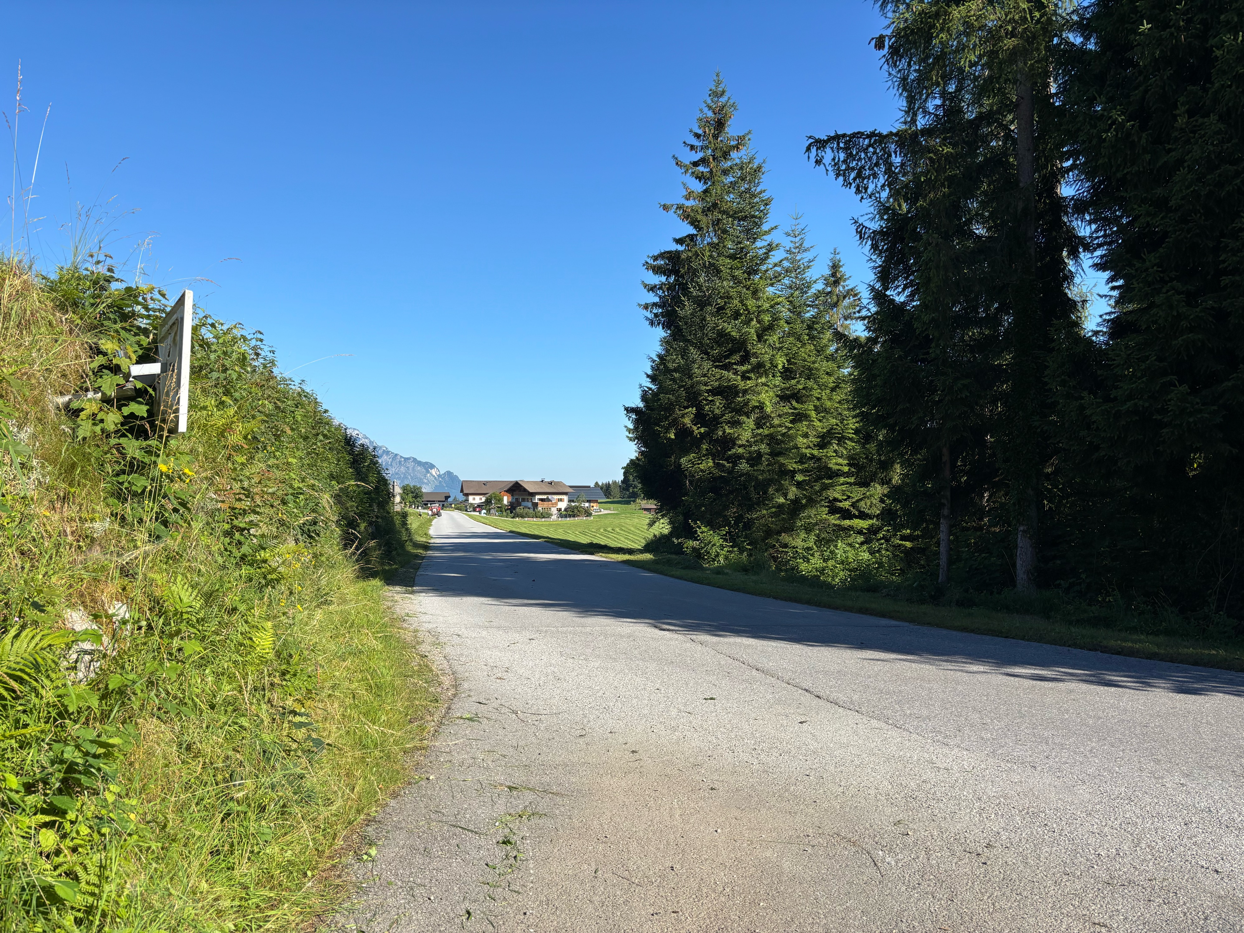
Vue d'ensemble
À propos du circuit
<span style="font-size: 8pt; font-family: "Times New Roman","serif";">1.Tag:</span>
<span style="font-size: 8pt; font-family: "Times New Roman","serif";">Hallein - Rossfeldalm 1410m - Berchtesgaden</span>
<span style="font-size: 8pt; font-family: "Times New Roman","serif";"> </span>
<span style="font-size: 8pt; font-family: "Times New Roman","serif";">2.Tag:</span>
<span style="font-size: 8pt; font-family: "Times New Roman","serif";">Berchtesgaden
- Königssee - Hintersee - </span><span style="font-size: 8pt; font-family: "Times New Roman","serif";">Hischbichl - </span><span style="font-size: 8pt; font-family: "Times New Roman","serif";">Saalfelden - Maria Alm
- Jausenstation Natun 1070m</span>
<span style="font-size: 8pt; font-family: "Times New Roman","serif";"> </span>
<span style="font-size: 8pt; font-family: "Times New Roman","serif";">3. Tag:</span>
<span style="font-size: 8pt; font-family: "Times New Roman","serif";">Maria Alm/Sonnberg - Dickachwald - Hochmeisalm -</span>
<span style="font-size: 8pt; font-family: "Times New Roman","serif";">Filzensattel - Mittereggalm 1400m - Mühlbach am </span>
<span style="font-size: 8pt; font-family: "Times New Roman","serif";">Hochkönig
- Bischofshofen</span>
- -:--
- Durée
- 137,3 km
- Distance
- 2 882 m
- Montée
- 2 801 m
- Descente
- ---
- Vit. moyenne
- ---
- Altitude max.

Continuer avec Bikemap
Utilise, modifie ou télécharge cet itinéraire vélo
Tu veux parcourir Watzmann - Hochkönig (3 Tages MTB-Tour) ou l’adapter à ton propre voyage ? Voici ce que tu peux faire avec cet itinéraire Bikemap :
Fonctionnalités gratuites
- Enregistre cet itinéraire comme favori ou dans une collection
- Copie et planifie ta propre version de cet itinéraire
- Divise-le en étapes pour créer un tour sur plusieurs jours
- Synchronise ton itinéraire avec Garmin ou Wahoo
Fonctionnalités Premium
Essai gratuit de 3 jours, ou paiement unique. En savoir plus sur Bikemap Premium.
- Navigue sur cet itinéraire sur iOS et Android
- Exporter un fichier GPX / KML de cet itinéraire
- Crée ton impression personnalisée (essaie-la gratuitement)
- Télécharge cet itinéraire pour la navigation hors ligne
Découvre plus de fonctionnalités Premium.
Obtiens Bikemap PremiumDe notre communauté
Hallein : Autres itinéraires populaires qui commencent ici
 Rund um den Untersberg
- Distance
- 56,5 km
- Montée
- 1 237 m
- Descente
- 1 234 m
- Emplacement
- Hallein, Salzburg, Austria
 Schlenken
- Distance
- 37,4 km
- Montée
- 1 186 m
- Descente
- 1 186 m
- Emplacement
- Hallein, Salzburg, Austria
 Lange Ausfahrt durch 'Hallein'
- Distance
- 32 km
- Montée
- 368 m
- Descente
- 362 m
- Emplacement
- Hallein, Salzburg, Austria
 PWOZKS 8: Hallein-Salzburg Hbf;17,8km 0hm
- Distance
- 17,8 km
- Montée
- 91 m
- Descente
- 114 m
- Emplacement
- Hallein, Salzburg, Austria
 Solnograško 1. dan
- Distance
- 59,4 km
- Montée
- 294 m
- Descente
- 235 m
- Emplacement
- Hallein, Salzburg, Austria
 Bergalm/Hintersee
- Distance
- 55,8 km
- Montée
- 1 048 m
- Descente
- 1 048 m
- Emplacement
- Hallein, Salzburg, Austria
 Hallein – Trattberg über Sommerau – Salzburg
- Distance
- 65,2 km
- Montée
- 1 441 m
- Descente
- 1 457 m
- Emplacement
- Hallein, Salzburg, Austria
 Hell Day - improved
- Distance
- 102,6 km
- Montée
- 3 031 m
- Descente
- 3 031 m
- Emplacement
- Hallein, Salzburg, Austria
Ouvre-la dans l’app