
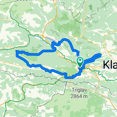
Carinthian Lake Loop - Villach to Villach
Un itinéraire vélo au départ de Villach, Carinthie, Autriche.
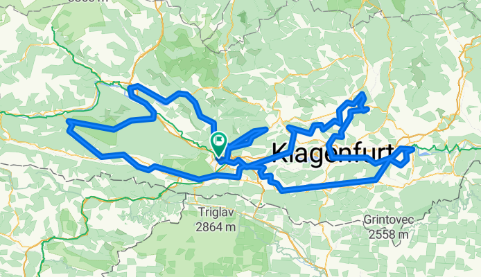
Vue d'ensemble
À propos du circuit
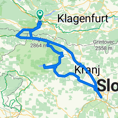
Le Carinthian Lake Loop (Kärnten Seen-Schleife) est un nouvel itinéraire cyclable de 420 kilomètres en Carinthie qui longe des lacs, des rivières et des paysages alpins. Il relie certains des points forts de la région : de Villach via Ossiach, Millstatt, Weißensee, Hermagor, Sankt Kanzian, Klagenfurt et Sankt Veit, puis de retour à Villach. L'itinéraire propose des sections variées, allant de faciles à plus exigeantes, ce qui rend la traversée diverse et enrichissante. Il peut être parcouru en autonomie comme voyage à étapes sur plusieurs jours en profitant d'une infrastructure cyclable bien développée, ou intégré à l'événement Velovista qui a lieu chaque printemps. La première édition de Velovista en mai 2025 a rassemblé plus de 400 participants venus de différents pays ; les étapes quotidiennes, l'hébergement, les repas, le transport des bagages et les attractions régionales étaient inclus. L'itinéraire est encore en cours d'élaboration, aussi la signalisation locale et les traces GPX officielles peuvent-elles différer et doivent-elles être vérifiées sur place. C'est une alternative attrayante aux autres itinéraires populaires d'Autriche – la Véloroute de la Drave et l'Alpe-Adria – et une excellente option pour des vacances cyclistes estivales.
- 28 h 11 min
- Durée
- 438,5 km
- Distance
- 3 948 m
- Montée
- 3 948 m
- Descente
- 15,6 km/h
- Vit. moyenne
- 1 085 m
- Altitude max.

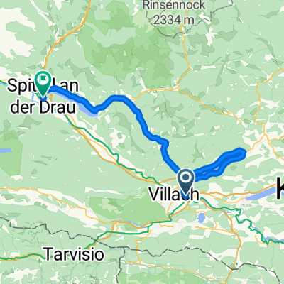
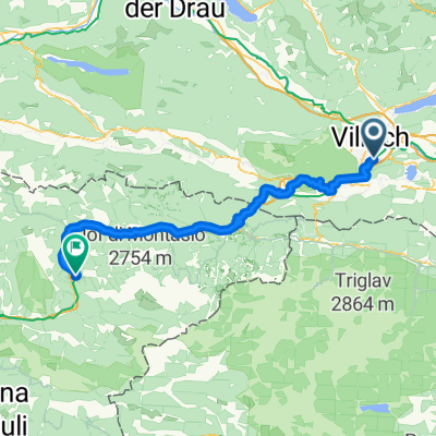
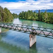
Photos de l’itinéraire


Continuer avec Bikemap
Utilise, modifie ou télécharge cet itinéraire vélo
Tu veux parcourir Carinthian Lake Loop - Villach to Villach ou l’adapter à ton propre voyage ? Voici ce que tu peux faire avec cet itinéraire Bikemap :
Fonctionnalités gratuites
- Enregistre cet itinéraire comme favori ou dans une collection
- Copie et planifie ta propre version de cet itinéraire
- Divise-le en étapes pour créer un tour sur plusieurs jours
- Synchronise ton itinéraire avec Garmin ou Wahoo
Fonctionnalités Premium
Essai gratuit de 3 jours, ou paiement unique. En savoir plus sur Bikemap Premium.
- Navigue sur cet itinéraire sur iOS et Android
- Exporter un fichier GPX / KML de cet itinéraire
- Crée ton impression personnalisée (essaie-la gratuitement)
- Télécharge cet itinéraire pour la navigation hors ligne
Découvre plus de fonctionnalités Premium.
Obtiens Bikemap PremiumDe notre communauté
Villach : Autres itinéraires populaires qui commencent ici
 D1_Feldkirchen to Seeboden
- Distance
- 81,6 km
- Montée
- 1 056 m
- Descente
- 988 m
- Emplacement
- Villach, Carinthie, Autriche
 Karawankenweg - Via Roma
- Distance
- 70,4 km
- Montée
- 1 223 m
- Descente
- 1 365 m
- Emplacement
- Villach, Carinthie, Autriche
 Villach - Tarvisio
- Distance
- 51,1 km
- Montée
- 1 011 m
- Descente
- 757 m
- Emplacement
- Villach, Carinthie, Autriche
 Leiningengasse to Umfahrungsstraße
- Distance
- 94,4 km
- Montée
- 784 m
- Descente
- 862 m
- Emplacement
- Villach, Carinthie, Autriche
 Alpenpässe Ö-Slo_I
- Distance
- 133,9 km
- Montée
- 2 620 m
- Descente
- 2 620 m
- Emplacement
- Villach, Carinthie, Autriche
 Carinthian Lake Loop - Villach to Villach
- Distance
- 438,5 km
- Montée
- 3 948 m
- Descente
- 3 948 m
- Emplacement
- Villach, Carinthie, Autriche
 Draupromenade, Villach nach Standesamtsplatz, Villach
- Distance
- 204,4 km
- Montée
- 3 175 m
- Descente
- 3 161 m
- Emplacement
- Villach, Carinthie, Autriche
 villach-bled-ljubljana-villach_v2
- Distance
- 299,9 km
- Montée
- 2 884 m
- Descente
- 2 887 m
- Emplacement
- Villach, Carinthie, Autriche
Ouvre-la dans l’app