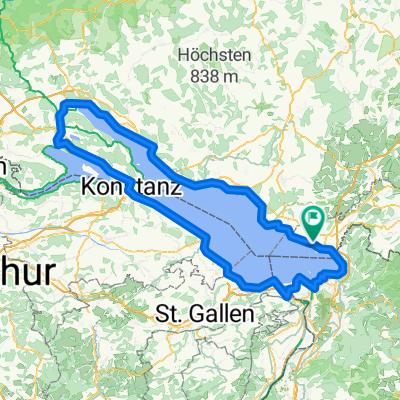
Neukirch - Dornbirn
- 26,9 km
- 164 m
- 190 m
- Bodolz, Bavière, Allemagne
Un itinéraire vélo au départ de Bodolz, Bavière, Allemagne.
Vue d'ensemble
The cycling route begins in the town of Potsdam and takes you through a mix of asphalt and unpaved paths. The ride mostly follows quiet streets, but you'll also encounter small forests and a forest road. The route is mostly paved, but there are some stretches of gravel and dirt. As you ride, you'll ascend gradually, with the highest point reached around Griebnitzsee at 577 meters. After that, it's mostly downhill. The route is relatively flat, with only a few small hills and descents. The total distance is around 37 kilometres, and the ascent is just 568 metres, making it a manageable ride for most cyclists.
Généré par l’IA
créé il y a 1 mois
Qualité de l’itinéraire
Route tranquille
17,2 km
46 %
Route
7,5 km
20 %
Pavé
34,4 km
(92 %)
Non pavé
3 km
(8 %)
Asphalte
34,4 km
92 %
Gravier
1,9 km
5 %
Continuer avec Bikemap
Tu veux parcourir Wasserburg - Tettnang ou l’adapter à ton propre voyage ? Voici ce que tu peux faire avec cet itinéraire Bikemap :
Essai gratuit de 3 jours, ou paiement unique. En savoir plus sur Bikemap Premium.
Découvre plus de fonctionnalités Premium.
Obtiens Bikemap PremiumDe notre communauté
Ouvre-la dans l’app