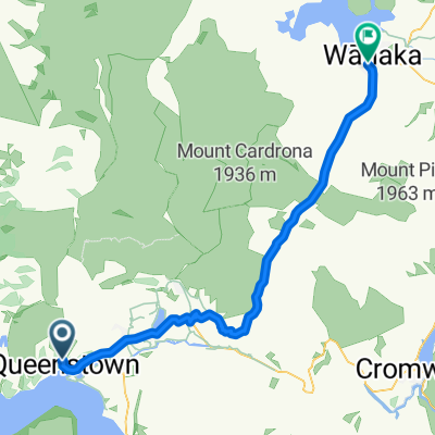
(4h) Qtown / Moke Lake / Arthur-s Point / Qtown
Un itinéraire vélo au départ de Queenstown, Otago, Nouvelle-Zélande.
Vue d'ensemble
À propos du circuit
Détends-toi, vide ton esprit et monte sur le vélo
- Route de Glenorchy après Fernhill, prends à droite en montée
//Ressens tes muscles//
-
Profite des paysages en faisant un tour autour du lac Moke
-
Reviens sur la route à gauche et juste avant les camping-cars, continue tout droit, saute la barrière si nécessaire
-
Suis la route, le paysage est magnifique, il y aura 2/3 montées très raides, grimpe
-
Reste toujours du côté droit de la vallée et ne suis pas le panneau Queenstown, suis Arthur's Point
-
Suis le singletrack jusqu'à Arthur's Point, quelques passages à pied, je suggère de marcher derrière ton vélo avec la roue avant en l'air. Marche prudemment
-
Profite de la vue du BASE JUMPING
-
Suis la route pavée jusqu'à la route principale
-
Monte la colline à droite et suis le sentier à droite de la route, retour à Queenstown
-
Profite de ton repas et de ta douche
- -:--
- Durée
- 38,1 km
- Distance
- 766 m
- Montée
- 778 m
- Descente
- ---
- Vit. moyenne
- ---
- Altitude max.
Continuer avec Bikemap
Utilise, modifie ou télécharge cet itinéraire vélo
Tu veux parcourir (4h) Qtown / Moke Lake / Arthur-s Point / Qtown ou l’adapter à ton propre voyage ? Voici ce que tu peux faire avec cet itinéraire Bikemap :
Fonctionnalités gratuites
- Enregistre cet itinéraire comme favori ou dans une collection
- Copie et planifie ta propre version de cet itinéraire
- Synchronise ton itinéraire avec Garmin ou Wahoo
Fonctionnalités Premium
Essai gratuit de 3 jours, ou paiement unique. En savoir plus sur Bikemap Premium.
- Navigue sur cet itinéraire sur iOS et Android
- Exporter un fichier GPX / KML de cet itinéraire
- Crée ton impression personnalisée (essaie-la gratuitement)
- Télécharge cet itinéraire pour la navigation hors ligne
Découvre plus de fonctionnalités Premium.
Obtiens Bikemap PremiumDe notre communauté
Queenstown : Autres itinéraires populaires qui commencent ici
 Queenstown, New Zealand to Glennorchy
- Distance
- 45,9 km
- Montée
- 973 m
- Descente
- 957 m
- Emplacement
- Queenstown, Otago, Nouvelle-Zélande
 Hilton Hotel to Arrowtown via Slopehill Rd
- Distance
- 19,7 km
- Montée
- 312 m
- Descente
- 207 m
- Emplacement
- Queenstown, Otago, Nouvelle-Zélande
 (4h) Qtown / Moke Lake / Arthur-s Point / Qtown
- Distance
- 38,1 km
- Montée
- 766 m
- Descente
- 778 m
- Emplacement
- Queenstown, Otago, Nouvelle-Zélande
 South Island Tour
- Distance
- 1 126,4 km
- Montée
- 2 298 m
- Descente
- 2 607 m
- Emplacement
- Queenstown, Otago, Nouvelle-Zélande
 Queenstown circle
- Distance
- 56 km
- Montée
- 451 m
- Descente
- 451 m
- Emplacement
- Queenstown, Otago, Nouvelle-Zélande
 qt-wanaka
- Distance
- 68,9 km
- Montée
- 878 m
- Descente
- 955 m
- Emplacement
- Queenstown, Otago, Nouvelle-Zélande
 Kelvin Heights to Arrowtown via Twin Rivers Trail
- Distance
- 27 km
- Montée
- 524 m
- Descente
- 418 m
- Emplacement
- Queenstown, Otago, Nouvelle-Zélande
 Kelvin Heights to Bungy Bridge
- Distance
- 23,4 km
- Montée
- 539 m
- Descente
- 523 m
- Emplacement
- Queenstown, Otago, Nouvelle-Zélande
Ouvre-la dans l’app


