St Columba's Way- Perth to St Andrews
Un itinéraire vélo au départ de Perth, Ecosse, Royaume-Uni.
Vue d'ensemble
À propos du circuit
Traversez le pont à Perth sur la piste cyclable 77, puis suivez des routes calmes, des sentiers riverains et des chemins principaux. Un peu de côtes au début, jusqu'à 145 mètres en dehors de Perth, puis plat tout du long avec de belles vues sur la rivière Tay vers Dundee et le célèbre pont ferroviaire. De nombreux hébergements, pubs, etc. à Dundee.
- -:--
- Durée
- 73,2 km
- Distance
- 266 m
- Montée
- 249 m
- Descente
- ---
- Vit. moyenne
- ---
- Altitude max.
Qualité de l’itinéraire
Types de voies et surfaces le long de l’itinéraire
Types de routes
Route
17,6 km
(24 %)
Piste cyclable
16,1 km
(22 %)
surfaces
Pavé
22 km
(30 %)
Non pavé
9,5 km
(13 %)
Asphalte
22 km
(30 %)
Gravier
8,1 km
(11 %)
Points forts de l’itinéraire
Points d’intérêt le long de l’itinéraire
Point d'intérêt après 0,1 km
Scone camping and caravan site
Point d'intérêt après 8,6 km
BIKE ROUTE 77. Signposted from Perth to Dundee
Point d'intérêt après 40,7 km
DUNDEE. Hotels, hostels, shops, pubs etc
Point d'intérêt après 65,3 km
Guardbridge. The village derives its name from this 15th-century six-arched bridge over the Eden and is the site of the last hostel – or “gare” from the French word for station - where many pilgrims stayed before setting off on the final three miles (5 km) to St Andrews and the great cathedral holding the relics of St Andrew.
Continuer avec Bikemap
Utilise, modifie ou télécharge cet itinéraire vélo
Tu veux parcourir St Columba's Way- Perth to St Andrews ou l’adapter à ton propre voyage ? Voici ce que tu peux faire avec cet itinéraire Bikemap :
Fonctionnalités gratuites
- Enregistre cet itinéraire comme favori ou dans une collection
- Copie et planifie ta propre version de cet itinéraire
- Synchronise ton itinéraire avec Garmin ou Wahoo
Fonctionnalités Premium
Essai gratuit de 3 jours, ou paiement unique. En savoir plus sur Bikemap Premium.
- Navigue sur cet itinéraire sur iOS et Android
- Exporter un fichier GPX / KML de cet itinéraire
- Crée ton impression personnalisée (essaie-la gratuitement)
- Télécharge cet itinéraire pour la navigation hors ligne
Découvre plus de fonctionnalités Premium.
Obtiens Bikemap PremiumDe notre communauté
Perth : Autres itinéraires populaires qui commencent ici
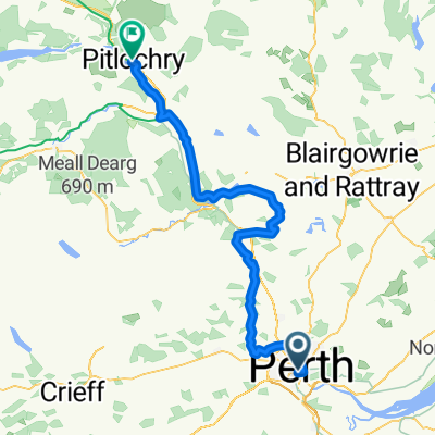
 Perth - Pitlochry
- Distance
- 62,5 km
- Montée
- 721 m
- Descente
- 633 m
- Emplacement
- Perth, Ecosse, Royaume-Uni
 ToB 1
ToB 1- Distance
- 168,1 km
- Montée
- 1 462 m
- Descente
- 1 250 m
- Emplacement
- Perth, Ecosse, Royaume-Uni
 Perth Eastern circuit 1
- Distance
- 46,3 km
- Montée
- 529 m
- Descente
- 530 m
- Emplacement
- Perth, Ecosse, Royaume-Uni
 Leonard Street to North Street
- Distance
- 38,7 km
- Montée
- 656 m
- Descente
- 576 m
- Emplacement
- Perth, Ecosse, Royaume-Uni
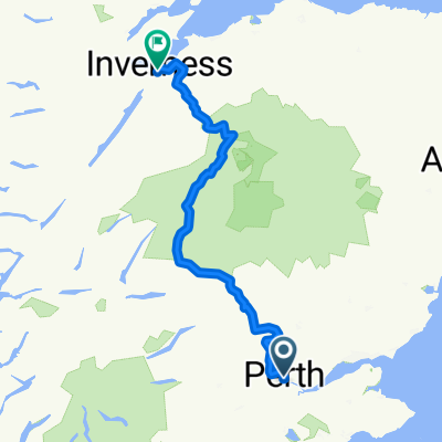
 Pitlochry - Inverness
- Distance
- 214,6 km
- Montée
- 2 207 m
- Descente
- 2 209 m
- Emplacement
- Perth, Ecosse, Royaume-Uni
 Perth
Perth- Distance
- 37,5 km
- Montée
- 778 m
- Descente
- 778 m
- Emplacement
- Perth, Ecosse, Royaume-Uni
 50 Manson Crescent, Perth to 50 Manson Crescent, Perth
- Distance
- 47,8 km
- Montée
- 328 m
- Descente
- 330 m
- Emplacement
- Perth, Ecosse, Royaume-Uni
 almost mailer hill
- Distance
- 5,1 km
- Montée
- 142 m
- Descente
- 147 m
- Emplacement
- Perth, Ecosse, Royaume-Uni
Ouvre-la dans l’app


