Palovuori- Kietermäki- Tammi
- 24,9 km
- 182 m
- 180 m
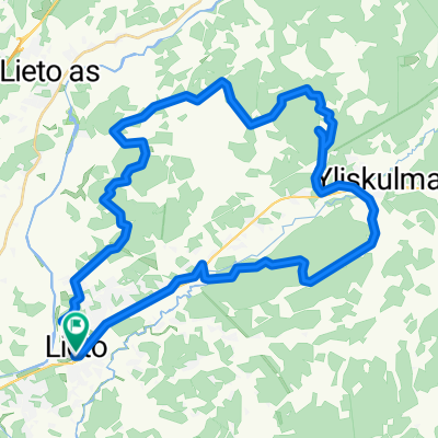
- Lieto, Finlande du Sud-Ouest, Finlande
Un itinéraire vélo au départ de Lieto, Finlande du Sud-Ouest, Finlande.
Vue d'ensemble
L'itinéraire traverse également la zone de coupe forestière, où j'ai essayé de nettoyer, en déplaçant les grosses branches sur le côté du chemin. Il y a encore beaucoup de branches qui peuvent endommager la transmission, alors faites attention. La zone de coupe forestière se trouve à environ 100-200 m, après quoi le chemin est déjà dégagé.
créé il y a 11 ans
Continuer avec Bikemap
Tu veux parcourir Lieto - Ukura, paths mapping ou l’adapter à ton propre voyage ? Voici ce que tu peux faire avec cet itinéraire Bikemap :
Essai gratuit de 3 jours, ou paiement unique. En savoir plus sur Bikemap Premium.
Découvre plus de fonctionnalités Premium.
Obtiens Bikemap PremiumDe notre communauté
Ouvre-la dans l’app