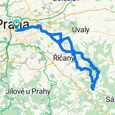
Vaclavske Nam -> Petriny
Un itinéraire vélo au départ de Vieille Ville, Prague, République tchèque.
Vue d'ensemble
À propos du circuit
Itinéraire depuis le sommet de la place Venceslas jusqu'à Petřiny en évitant les routes ou en empruntant des routes calmes autant que possible. Il existe un itinéraire alternatif de Veleslavín à Petřiny, mais il est très raide, bien que plus sûr.
- -:--
- Durée
- 9 km
- Distance
- 178 m
- Montée
- 33 m
- Descente
- ---
- Vit. moyenne
- 365 m
- Altitude max.
Qualité de l’itinéraire
Types de voies et surfaces le long de l’itinéraire
Types de routes
Route tranquille
4,5 km
(50 %)
Piste cyclable
1,2 km
(13 %)
surfaces
Pavé
5,4 km
(60 %)
Non pavé
0,1 km
(1 %)
Asphalte
5 km
(56 %)
Pavé (non défini)
0,3 km
(3 %)
Points forts de l’itinéraire
Points d’intérêt le long de l’itinéraire
Point d'intérêt après 2,9 km
Stick on the left hand side all the way up the hill as far as the tram stop Brucnice.
Point d'intérêt après 4,3 km
To cross the road wait at the entrance to the AutoSkola for the lights up at the junction to change. There should be enough time to get across half way. The second half can be crossed either on the crossing or when traffic stops for a pedestrian on the crossing. If you wait a while there is always a gap in the traffic.
Continuer avec Bikemap
Utilise, modifie ou télécharge cet itinéraire vélo
Tu veux parcourir Vaclavske Nam -> Petriny ou l’adapter à ton propre voyage ? Voici ce que tu peux faire avec cet itinéraire Bikemap :
Fonctionnalités gratuites
- Enregistre cet itinéraire comme favori ou dans une collection
- Copie et planifie ta propre version de cet itinéraire
- Synchronise ton itinéraire avec Garmin ou Wahoo
Fonctionnalités Premium
Essai gratuit de 3 jours, ou paiement unique. En savoir plus sur Bikemap Premium.
- Navigue sur cet itinéraire sur iOS et Android
- Exporter un fichier GPX / KML de cet itinéraire
- Crée ton impression personnalisée (essaie-la gratuitement)
- Télécharge cet itinéraire pour la navigation hors ligne
Découvre plus de fonctionnalités Premium.
Obtiens Bikemap PremiumDe notre communauté
Vieille Ville : Autres itinéraires populaires qui commencent ici
 Praha - Dubeč - Březí - Ondřejov - Zvánovice - Královice - Dubeč - Praha
- Distance
- 98,1 km
- Montée
- 961 m
- Descente
- 898 m
- Emplacement
- Vieille Ville, Prague, République tchèque
 Prag nach Dresden
- Distance
- 225,3 km
- Montée
- 1 381 m
- Descente
- 1 458 m
- Emplacement
- Vieille Ville, Prague, République tchèque
 Prague to Budi 1 via Bechyne
- Distance
- 853,5 km
- Montée
- 854 m
- Descente
- 946 m
- Emplacement
- Vieille Ville, Prague, République tchèque
 Praha, Mělník, Praha
- Distance
- 104 km
- Montée
- 616 m
- Descente
- 669 m
- Emplacement
- Vieille Ville, Prague, République tchèque
 2012 Elberadweg_Prag-Berlin
- Distance
- 588,1 km
- Montée
- 269 m
- Descente
- 426 m
- Emplacement
- Vieille Ville, Prague, République tchèque
 Girolibero: Praga Dresda
- Distance
- 173,2 km
- Montée
- 1 469 m
- Descente
- 1 544 m
- Emplacement
- Vieille Ville, Prague, République tchèque
 Prag-Berlin
- Distance
- 359,7 km
- Montée
- 1 327 m
- Descente
- 1 470 m
- Emplacement
- Vieille Ville, Prague, République tchèque
 Greenways Prag-Wien
- Distance
- 508,3 km
- Montée
- 5 408 m
- Descente
- 5 436 m
- Emplacement
- Vieille Ville, Prague, République tchèque
Ouvre-la dans l’app

