B2B00814 55409 > 55455 via Park Ave, University Ave SE
- 10,1 km
- 57 m
- 57 m
- Richfield, Minnesota, États Unis
Un itinéraire vélo au départ de Richfield, Minnesota, États Unis.
Vue d'ensemble
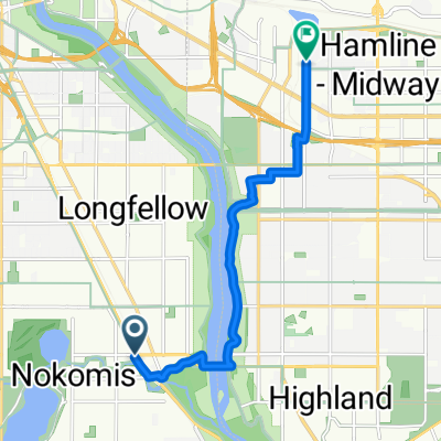
Commencez votre itinéraire en vous dirigeant vers l'est sur la 43rd Avenue et en passant à Nicollet Ave. Tournez à gauche sur Nicollet et dirigez-vous vers le nord jusqu'à la East 38th St. Tournez à droite sur la 38th et traversez le 35W. Continuez jusqu'à Park Avenue South. Tournez à gauche sur Park Ave. C'est une rue très fréquentée, mais il y a une large piste cyclable et Park vous conduit jusqu'au centre-ville de Minneapolis. Une fois que vous êtes au centre-ville, et à la South 10th St, Park Ave. tourne à droite. Continuez à suivre Park à travers le centre-ville jusqu'à Washington Avenue. Traversez Washington, toujours sur Park jusqu'à la South 2nd Street. Tournez à gauche sur la 2nd et à droite sur Portland un bloc plus loin. Portland vous mènera directement au pont en arc de pierre. Ce pont est fermé à la circulation automobile et est une façon amusante de traverser la rivière à vélo. Il n'est pas indiqué sur cette carte, mais il est là et vous ne pouvez pas le manquer. Au bout du pont se trouve la SE 6th Avenue. Montez la colline sur la SE 6th Avenue et 3 blocs plus loin se trouve la 4th Street Southeast. Tournez à gauche sur la 4th Street Southeast vers votre destination.
créé il y a 17 ans
Points forts de l’itinéraire
This is the stone arch bridge, however it does not show up on this map. It's a beautiful and fun way to cross the river by bike.
Continuer avec Bikemap
Tu veux parcourir B2B00114 55409 >55414 via Park Ave and stone arch bridge ou l’adapter à ton propre voyage ? Voici ce que tu peux faire avec cet itinéraire Bikemap :
Essai gratuit de 3 jours, ou paiement unique. En savoir plus sur Bikemap Premium.
Découvre plus de fonctionnalités Premium.
Obtiens Bikemap PremiumDe notre communauté
Ouvre-la dans l’app