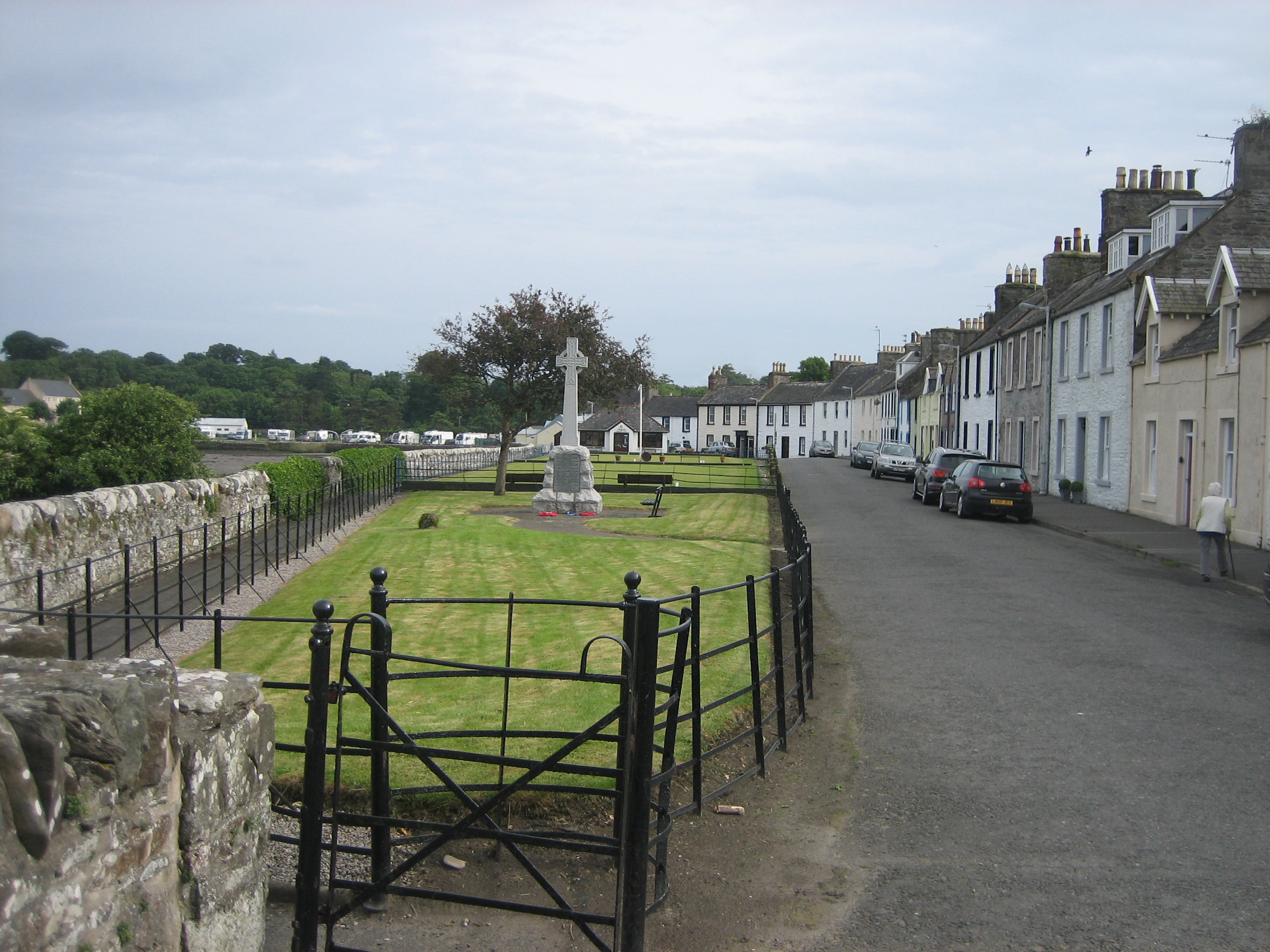
St Ninian's Way - Garlieston to Whithorn via Isle of Whithorn and St Ninian's Chapel
Itinéraire cycliste
Vue d'ensemble
À propos du circuit
This 12th section of St Ninian’s Way takes the coastal track south out of Garlieston to Cruggleton Bay (3 km). (See more rugged alternative route below). Then continue inland to join minor road B7063 (1 km). Turn right 300m to Y junction and then left onto the B7004 to Whithorn (6 km).
Then plan to do the Whithorn Circuit including St Ninian’s Cave the following day.
Along the coast overlooking Wigtown Bay and/or then through quiet flat farmland
https://www.bikemap.net/en/route/3558750-st-ninianss-way-the-whithorn-circuit/
Alternatively, at Cruggleton Bay, continue south along coastal track to Cruggleton Point and castle (2.5km), then to Portyerrock and T junction with B70063 (5 km). Go south along B7063 to T junction (900m). Then go left onto track to Cairn Head (700m) and along coastal path to Isle of Whithorn and St Ninian's Chapel (4km). Then take B7004 back to Whithorn. (13 km) or do the Whithorn Circuit and St Ninian’s
For a map overview of St Ninian’s Way please go
https://www.bikemap.net/en/route/3548129-st-ninians-way-carlisle-to-st-andrews-via-whithorn/
St Ninian’s Way is one of the great pilgrim routes in Scotland to St Andrews - The Way of St Andrews - For other routes see http://www.thewayofstandrews.com
- -:--
- Durée
- 19,9 km
- Distance
- 216 m
- Montée
- 160 m
- Descente
- ---
- Vit. moyenne
- ---
- Altitude max.
Qualité de l’itinéraire
Types de voies et surfaces le long de l’itinéraire
Types de routes
Sentier
11,3 km
(57 %)
Route tranquille
0,4 km
(2 %)
surfaces
Pavé
0,4 km
(2 %)
Non pavé
1,6 km
(8 %)
Gravier
1,6 km
(8 %)
Asphalte
0,2 km
(1 %)
Points forts de l’itinéraire
Points d’intérêt le long de l’itinéraire

Point d'intérêt après 0 km
Garlieston is a small planned coastal village in Dumfries and Galloway, south west Scotland. It was founded in the mid 18th century by Lord Garlies, later 6th Earl of Galloway
Point d'intérêt après 4,2 km
Cruggleton Castle. All that remains of Cruggleton Castle is an archway. Great views across Wigtown Bay towards Ross Island Lighthouse and south to the Isle of Whithorn

Point d'intérêt après 13,1 km
Saint Ninian is a Christian saint of the 8th century and known as an early missionary among the Pictish peoples of what is now south west Scotland. He is reputed to have been buried in Whithorn. The chapel, which probably dates from the 12th Century, is dedicated to his name. Still called the Isle of Whithorn, the gap between island and the mainland was filled in during the development of the village and harbour.

Point d'intérêt après 19,8 km
WHITHORN PRIORY. om the South West The first church in Whithorn was established by St Ninian in the 8th Century, and developed into a cathedral church accompanied by a monastery. On his death, St Ninian was buried here and Whithorn became the place for pilgrimage. The much larger ruins of the buildings you see today date from the 13th Century onwards. After the Reformation in 1560 cathedral fell into disrepair.
Continuer avec Bikemap
Utilise, modifie ou télécharge cet itinéraire vélo
Tu veux parcourir St Ninian's Way - Garlieston to Whithorn via Isle of Whithorn and St Ninian's Chapel ou l’adapter à ton propre voyage ? Voici ce que tu peux faire avec cet itinéraire Bikemap :
Fonctionnalités gratuites
- Enregistre cet itinéraire comme favori ou dans une collection
- Copie et planifie ta propre version de cet itinéraire
- Synchronise ton itinéraire avec Garmin ou Wahoo
Fonctionnalités Premium
Essai gratuit de 3 jours, ou paiement unique. En savoir plus sur Bikemap Premium.
- Navigue sur cet itinéraire sur iOS et Android
- Exporter un fichier GPX / KML de cet itinéraire
- Crée ton impression personnalisée (essaie-la gratuitement)
- Télécharge cet itinéraire pour la navigation hors ligne
Découvre plus de fonctionnalités Premium.
Obtiens Bikemap PremiumOuvre-la dans l’app


