

2 duessel dorf rein basel
Un itinéraire vélo au départ de Grenzach-Wyhlen, Bade-Wurtemberg, Allemagne.
Vue d'ensemble
À propos du circuit
- -:--
- Durée
- 757,4 km
- Distance
- 123 m
- Montée
- 331 m
- Descente
- ---
- Vit. moyenne
- ---
- Altitude max.

Qualité de l’itinéraire
Types de voies et surfaces le long de l’itinéraire
Types de routes
Route forestière
340,8 km
(45 %)
Sentier
174,2 km
(23 %)
surfaces
Pavé
462 km
(61 %)
Non pavé
212,1 km
(28 %)
Asphalte
439,3 km
(58 %)
Gravier
181,8 km
(24 %)
Points forts de l’itinéraire
Points d’intérêt le long de l’itinéraire
Point d'intérêt après 10,9 km
SUPERMARKT
Point d'intérêt après 32,3 km
CAMPINGPLÄTZE
Point d'intérêt après 34,6 km
TANKE UND NORDSEE
Point d'intérêt après 37,8 km
WILDCAMP
Point d'intérêt après 42,7 km
TANKE
Point d'intérêt après 43 km
ALDI SÜD
Point d'intérêt après 49,2 km
WILDCAMP
Point d'intérêt après 54,6 km
WILDCAMP
Point d'intérêt après 57,5 km
WILDCAMP
Point d'intérêt après 63,3 km
WILDACMP
Point d'intérêt après 67,2 km
WILDCAMP
Point d'intérêt après 71,4 km
SUPERMARKT
Point d'intérêt après 71,6 km
TANKE
Point d'intérêt après 104,6 km
REWE
Point d'intérêt après 104,6 km
tANKE
Point d'intérêt après 106,1 km
WILDACMP
Point d'intérêt après 121 km
wildcamp
Point d'intérêt après 124,5 km
wildcamp
Point d'intérêt après 126,4 km
wildcmap
Point d'intérêt après 136,8 km
supermarkt
Point d'intérêt après 136,8 km
döner
Point d'intérêt après 137,2 km
bäcker
Point d'intérêt après 137,8 km
campingplatz
Point d'intérêt après 147,5 km
wildcmap
Point d'intérêt après 147,6 km
wildcmap
Point d'intérêt après 162,3 km
campingplatz
Point d'intérêt après 165,1 km
tanke sm
Point d'intérêt après 168,1 km
supermarkt
Point d'intérêt après 178,2 km
wildcamp
Point d'intérêt après 189,7 km
wild camp
Point d'intérêt après 200,5 km
wildcamp
Point d'intérêt après 202,3 km
supermarlkt
Point d'intérêt après 205 km
camping reisemobil
Point d'intérêt après 205,2 km
wildcamp
Point d'intérêt après 217,6 km
wildcamp
Point d'intérêt après 225,5 km
wildcamp
Point d'intérêt après 239,8 km
wildcamp
Point d'intérêt après 241,6 km
tanke
Point d'intérêt après 250,9 km
wild camp
Point d'intérêt après 265,3 km
not camp
Point d'intérêt après 280,1 km
not cmap
Point d'intérêt après 303,1 km
tanke und sm
Point d'intérêt après 316,9 km
not camping
Point d'intérêt après 328,6 km
not camping
Point d'intérêt après 340,3 km
bäcker supermarkt
Point d'intérêt après 343,1 km
not camping
Point d'intérêt après 345,4 km
camping not
Point d'intérêt après 346,8 km
campingplatz
Point d'intérêt après 349 km
not camp
Point d'intérêt après 351,7 km
tankstelle
Point d'intérêt après 355,1 km
tankstelle und 100 meter weiter suoermark
Point d'intérêt après 355,1 km
bäckr
Point d'intérêt après 357,3 km
tankstelle
Point d'intérêt après 358,4 km
not camping
Point d'intérêt après 368,4 km
tankstelle
Point d'intérêt après 397,4 km
netto und tanke
Point d'intérêt après 411,6 km
notzeltplatz
Point d'intérêt après 414,4 km
not camping
Point d'intérêt après 417,6 km
spermrkt
Point d'intérêt après 421,3 km
not dcamp
Point d'intérêt après 423 km
not caping
Point d'intérêt après 424,3 km
notcamp
Point d'intérêt après 437,8 km
campingplazu
Point d'intérêt après 437,9 km
not und campingplazz
Point d'intérêt après 460,6 km
tanke und rewe
Point d'intérêt après 460,7 km
döner
Point d'intérêt après 468,5 km
notzeltplazt
Point d'intérêt après 507,7 km
campingplatz
Point d'intérêt après 515 km
notzelt
Point d'intérêt après 516,9 km
campingplatz
Point d'intérêt après 540 km
campingplatz
Point d'intérêt après 553,3 km
supermarkt
Point d'intérêt après 583,6 km
supermarkt
Point d'intérêt après 584,2 km
campingplatz
Point d'intérêt après 629,5 km
campingplatz
Point d'intérêt après 630,3 km
supermarlt
Point d'intérêt après 638,8 km
edeka
Point d'intérêt après 639,1 km
notzeltplatz
Point d'intérêt après 639,3 km
tankstelel
Point d'intérêt après 641,7 km
camping platz
Point d'intérêt après 671,2 km
not camping
Point d'intérêt après 672,5 km
tankstelle
Point d'intérêt après 731,9 km
not camp
Point d'intérêt après 735,7 km
burgerking und sm
Point d'intérêt après 735,7 km
tanke
Point d'intérêt après 756,3 km
penny
Continuer avec Bikemap
Utilise, modifie ou télécharge cet itinéraire vélo
Tu veux parcourir 2 duessel dorf rein basel ou l’adapter à ton propre voyage ? Voici ce que tu peux faire avec cet itinéraire Bikemap :
Fonctionnalités gratuites
- Enregistre cet itinéraire comme favori ou dans une collection
- Copie et planifie ta propre version de cet itinéraire
- Divise-le en étapes pour créer un tour sur plusieurs jours
- Synchronise ton itinéraire avec Garmin ou Wahoo
Fonctionnalités Premium
Essai gratuit de 3 jours, ou paiement unique. En savoir plus sur Bikemap Premium.
- Navigue sur cet itinéraire sur iOS et Android
- Exporter un fichier GPX / KML de cet itinéraire
- Crée ton impression personnalisée (essaie-la gratuitement)
- Télécharge cet itinéraire pour la navigation hors ligne
Découvre plus de fonctionnalités Premium.
Obtiens Bikemap PremiumDe notre communauté
Grenzach-Wyhlen : Autres itinéraires populaires qui commencent ici
 Badischer Weinradweg - Etappe 1: Markgräflerland
- Distance
- 77,2 km
- Montée
- 915 m
- Descente
- 942 m
- Emplacement
- Grenzach-Wyhlen, Bade-Wurtemberg, Allemagne
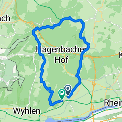
 Chrischona Rundweg
- Distance
- 20,9 km
- Montée
- 359 m
- Descente
- 359 m
- Emplacement
- Grenzach-Wyhlen, Bade-Wurtemberg, Allemagne
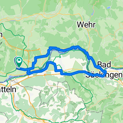 Herten - Säckingen - Herten
- Distance
- 48,7 km
- Montée
- 366 m
- Descente
- 371 m
- Emplacement
- Grenzach-Wyhlen, Bade-Wurtemberg, Allemagne
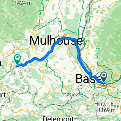 Mülhausen - Montbéliard
- Distance
- 74,7 km
- Montée
- 211 m
- Descente
- 137 m
- Emplacement
- Grenzach-Wyhlen, Bade-Wurtemberg, Allemagne
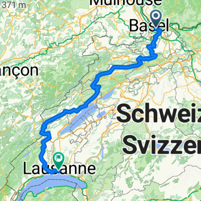 von Wyhlen nach Lausanne
- Distance
- 289,8 km
- Montée
- 6 193 m
- Descente
- 6 003 m
- Emplacement
- Grenzach-Wyhlen, Bade-Wurtemberg, Allemagne
 Herten - Ottwangen - Ruhrberg - Herten
- Distance
- 20,3 km
- Montée
- 480 m
- Descente
- 477 m
- Emplacement
- Grenzach-Wyhlen, Bade-Wurtemberg, Allemagne
 Badischer Weinradweg (Gesamttour)
- Distance
- 463,4 km
- Montée
- 4 418 m
- Descente
- 4 583 m
- Emplacement
- Grenzach-Wyhlen, Bade-Wurtemberg, Allemagne
 Chrischona Rundfahrt
- Distance
- 34,7 km
- Montée
- 439 m
- Descente
- 439 m
- Emplacement
- Grenzach-Wyhlen, Bade-Wurtemberg, Allemagne
Ouvre-la dans l’app