

GEObike Egersund- Hellvik- Egersund
Un itinéraire vélo au départ de Egersund, Rogaland, Norvège.
Vue d'ensemble
À propos du circuit
Cet itinéraire fait partie des routes GEObike du Géoparc mondial UNESCO Magma. Lors de ce voyage, vous découvrirez le patrimoine géologique et culturel dans un paysage unique – à vélo. Vous longerez la côte sauvage, à travers le paysage unique d'anorthosite façonné par la glace pendant des millions d'années, passant devant une ancienne gare, un paysage culturel, une rivière de saumon sauvage et même des tombes vikings. Venez chercher une brochure à notre bureau à Egersund pour plus d'informations.
- -:--
- Durée
- 24,4 km
- Distance
- 225 m
- Montée
- 229 m
- Descente
- ---
- Vit. moyenne
- ---
- Altitude max.

Photos de l’itinéraire


Qualité de l’itinéraire
Types de voies et surfaces le long de l’itinéraire
Types de routes
Piste cyclable
8,6 km
(35 %)
Route tranquille
5,1 km
(21 %)
surfaces
Pavé
5,9 km
(24 %)
Non pavé
3,7 km
(15 %)
Asphalte
5,9 km
(24 %)
Gravier
3,7 km
(15 %)
Indéfini
14,9 km
(61 %)
Continuer avec Bikemap
Utilise, modifie ou télécharge cet itinéraire vélo
Tu veux parcourir GEObike Egersund- Hellvik- Egersund ou l’adapter à ton propre voyage ? Voici ce que tu peux faire avec cet itinéraire Bikemap :
Fonctionnalités gratuites
- Enregistre cet itinéraire comme favori ou dans une collection
- Copie et planifie ta propre version de cet itinéraire
- Synchronise ton itinéraire avec Garmin ou Wahoo
Fonctionnalités Premium
Essai gratuit de 3 jours, ou paiement unique. En savoir plus sur Bikemap Premium.
- Navigue sur cet itinéraire sur iOS et Android
- Exporter un fichier GPX / KML de cet itinéraire
- Crée ton impression personnalisée (essaie-la gratuitement)
- Télécharge cet itinéraire pour la navigation hors ligne
Découvre plus de fonctionnalités Premium.
Obtiens Bikemap PremiumDe notre communauté
Egersund : Autres itinéraires populaires qui commencent ici
 92. Egersund to Kvinesdal
- Distance
- 104,5 km
- Montée
- 2 800 m
- Descente
- 2 613 m
- Emplacement
- Egersund, Rogaland, Norvège
 Nordsjørittet 2011
- Distance
- 89,5 km
- Montée
- 466 m
- Descente
- 468 m
- Emplacement
- Egersund, Rogaland, Norvège
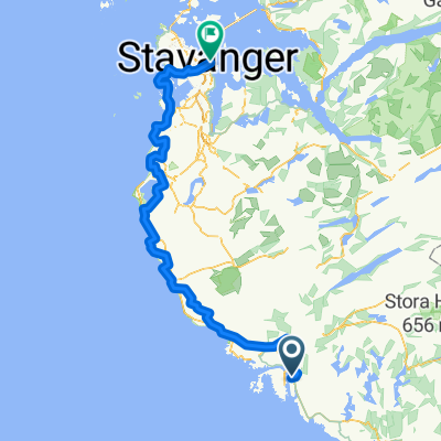
 Egersund - Stavanger
- Distance
- 95,6 km
- Montée
- 357 m
- Descente
- 348 m
- Emplacement
- Egersund, Rogaland, Norvège
 Nordsjøruta vest: Egersund - Stavanger
- Distance
- 113,3 km
- Montée
- 785 m
- Descente
- 777 m
- Emplacement
- Egersund, Rogaland, Norvège
 stage 4 _ egersund - stavanger
- Distance
- 103 km
- Montée
- 305 m
- Descente
- 303 m
- Emplacement
- Egersund, Rogaland, Norvège
 GEObike Egersund- Hellvik- Egersund
- Distance
- 24,4 km
- Montée
- 225 m
- Descente
- 229 m
- Emplacement
- Egersund, Rogaland, Norvège
 Tour des Fjords Lap #4
- Distance
- 149,1 km
- Montée
- 904 m
- Descente
- 898 m
- Emplacement
- Egersund, Rogaland, Norvège
 Kristiansand-Stavanger - del 4 (Egersund-Stavanger)
- Distance
- 109,5 km
- Montée
- 601 m
- Descente
- 598 m
- Emplacement
- Egersund, Rogaland, Norvège
Ouvre-la dans l’app