

West Seattle Bakery Tour
Un itinéraire vélo au départ de Seattle, Washington, États Unis.
Vue d'ensemble
À propos du circuit
Adapted from Fred Wert's 1993 "Bakeries By Bicycle."
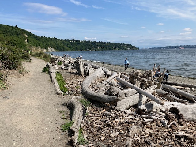
Start at Seacrest Park (or wherever you choose; it's a loop.) Head up california way and stop at the Hamilton View point and then start heading in the direction of the junction for a stop at either Bakery Nouveau or Flying Apron. Then start heading west where you will have the option to add a few miles to your route and go down to the original bakery, or you can turn north toward alki and cruise along the beach back toward seacrest park!
- -:--
- Durée
- 22,9 km
- Distance
- 238 m
- Montée
- 236 m
- Descente
- ---
- Vit. moyenne
- ---
- Altitude max.

Qualité de l’itinéraire
Types de voies et surfaces le long de l’itinéraire
Types de routes
Route tranquille
7,8 km
(34 %)
Route
1,8 km
(8 %)
surfaces
Pavé
14 km
(61 %)
Asphalte
8,7 km
(38 %)
Béton
5,3 km
(23 %)
Indéfini
8,9 km
(39 %)
Points forts de l’itinéraire
Points d’intérêt le long de l’itinéraire
Point d'intérêt après 0 km
West Seattle Water Taxi
Point d'intérêt après 0 km
Moondrop Coffee & Tea
Point d'intérêt après 1 km
Hamilton Viewpoint
Point d'intérêt après 4,7 km
A la Mode Pies
Point d'intérêt après 4,7 km
Flying Apron - West Seattle
Point d'intérêt après 4,8 km
Bakery Nouveau
Point d'intérêt après 6,8 km
Here you can choose to head north toward Alki and your full ride will be 8 miles, or you can head south to add an out and back to The Original Bakery and Lincoln Park and your whole ride will be 14 miles.
Point d'intérêt après 11,5 km
The Original Bakery
Point d'intérêt après 19,2 km
Top Pot Doughnuts
Continuer avec Bikemap
Utilise, modifie ou télécharge cet itinéraire vélo
Tu veux parcourir West Seattle Bakery Tour ou l’adapter à ton propre voyage ? Voici ce que tu peux faire avec cet itinéraire Bikemap :
Fonctionnalités gratuites
- Enregistre cet itinéraire comme favori ou dans une collection
- Copie et planifie ta propre version de cet itinéraire
- Synchronise ton itinéraire avec Garmin ou Wahoo
Fonctionnalités Premium
Essai gratuit de 3 jours, ou paiement unique. En savoir plus sur Bikemap Premium.
- Navigue sur cet itinéraire sur iOS et Android
- Exporter un fichier GPX / KML de cet itinéraire
- Crée ton impression personnalisée (essaie-la gratuitement)
- Télécharge cet itinéraire pour la navigation hors ligne
Découvre plus de fonctionnalités Premium.
Obtiens Bikemap PremiumDe notre communauté
Seattle : Autres itinéraires populaires qui commencent ici
 Stop by work then get beer and drink beer in park loop
- Distance
- 29,3 km
- Montée
- 294 m
- Descente
- 295 m
- Emplacement
- Seattle, Washington, États Unis
 Magnolia/Discovery Park Hidden Areas and Great Climbs
- Distance
- 34,9 km
- Montée
- 530 m
- Descente
- 530 m
- Emplacement
- Seattle, Washington, États Unis
 Lake Washington Route
- Distance
- 88,7 km
- Montée
- 495 m
- Descente
- 512 m
- Emplacement
- Seattle, Washington, États Unis
 Anderson Classic
- Distance
- 95,9 km
- Montée
- 1 022 m
- Descente
- 1 030 m
- Emplacement
- Seattle, Washington, États Unis
 Bridge2Bridge
- Distance
- 34,3 km
- Montée
- 448 m
- Descente
- 449 m
- Emplacement
- Seattle, Washington, États Unis
 2802 NW 61st St, Seattle to 2811 NW 61st St, Seattle
- Distance
- 61,5 km
- Montée
- 6 m
- Descente
- 35 m
- Emplacement
- Seattle, Washington, États Unis
 Fremont - Kenmore - Kirkland - 520 - Fremont Loop
- Distance
- 49,1 km
- Montée
- 568 m
- Descente
- 568 m
- Emplacement
- Seattle, Washington, États Unis
 Southern Lake Washington Loop
- Distance
- 58,2 km
- Montée
- 357 m
- Descente
- 358 m
- Emplacement
- Seattle, Washington, États Unis
Ouvre-la dans l’app