- 9,9 km
- 107 m
- 129 m
- Forest Glen, Maryland, États Unis
Fort Stevens Loop
Un itinéraire vélo au départ de Forest Glen, Maryland, États Unis.
Vue d'ensemble
À propos du circuit
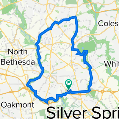
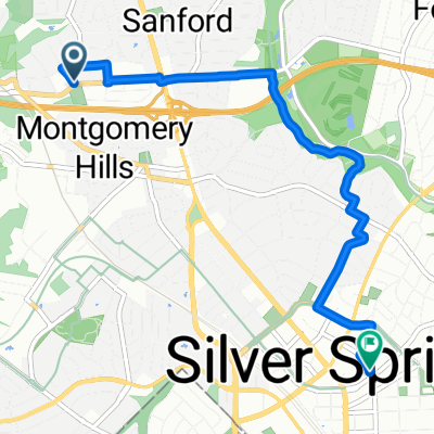
Un court itinéraire commençant à Woodside Park et se dirigeant vers les sites historiques liés au raid de Jubal Early à Washington DC durant l'été 1864. La balade inclut le cimetière confédéré, le cimetière de l'Union et les fortifications à Fort Stevens et Fort DeRussy. La balade se termine par un court trajet à travers le parc Rock Creek et revient à Woodside.
- -:--
- Durée
- 20,3 km
- Distance
- 157 m
- Montée
- 157 m
- Descente
- ---
- Vit. moyenne
- ---
- Altitude max.
créé il y a 6 ans
Qualité de l’itinéraire
Types de voies et surfaces le long de l’itinéraire
Types de routes
Route
7,5 km
(37 %)
Route tranquille
5,1 km
(25 %)
surfaces
Pavé
16,2 km
(80 %)
Asphalte
15,4 km
(76 %)
Pavé (non défini)
0,6 km
(3 %)
Points forts de l’itinéraire
Points d’intérêt le long de l’itinéraire
Point d'intérêt après 1,6 km
9315 Greyrock Road. "Grey Rocks". At the time of Jubal Early's raid, this was the home of Doctor Henry Ford Condict. On July 11, 1864, the house was occupied by the Confederates and used as an observation post and a rendezvous point for cavalry searching for horses and provisions.
Point d'intérêt après 2,6 km
Raymond W. Burche's home. Shells from Union artillery fell around this property. Now demolished.
Point d'intérêt après 3,4 km
1504 Noyes Drive. When excavating the back yard of ths house for an addition, a ten-inch Union Parrott shell from the Civil War was discovered.
Point d'intérêt après 3,4 km
8818 1st Avenue "Woodside" was Richard T. Wilson's Home at the time of the raid. This was a farmhouse with a driveway leading to Georgia Avenue. Wilson was a confederate sympathizer and this house was used as Confederate Major General John C. Breckinridge's headquarters. The Wilson Farm encompassed all of what is now Woodside and the western part of Woodside Park.
Point d'intérêt après 3,6 km
John C. Wilson's home. John Wilson supported the Union. His brother Richard supported the Confederacy. The house is now demolished.
Point d'intérêt après 4,4 km
"Sligo" was the name of Silver Spring during the Civil War. On 11-12 July 1864, the businesses here, including Lewis Graves' dry goods store, Rayney's store, and Barnes' Tavern farther south were looted by Confederate soldiers.
Point d'intérêt après 4,4 km
The Eagle Inn.
Point d'intérêt après 4,8 km
"Falkland", Montgomery Blair's mansion, stood here in 1864. It was burned by Confederate troops at the time of the raid. The ruin stood here until 1958, when it was burned down again to make way for Blair Plaza.
Point d'intérêt après 5,3 km
Silver Cycles.
Point d'intérêt après 5,4 km
Francis Preston Blair's "Silver Spring" mansion. This house was used by General Jubal Early as his headquarters. Now demolished.
Point d'intérêt après 6,4 km
James Blair's "The Moorings". This is the only one of the Blair family's Silver Spring mansions still standing. From 1934 to 1957, the house served as the Silver Spring Public Library.
Point d'intérêt après 8,5 km
Battleground National Cemetery. Here are buried the US soldiers who died defending Washington from Jubal Early's raid on 11-12 July 1864.
Point d'intérêt après 9,5 km
Fort Stevens Battlefield Park There are a few gun emplacements remaining and a monument to the battle.
Point d'intérêt après 12 km
Fort DeRussy. This fort is overgrown, but there is a marker and the banks that supported the gun emplacements can still be seen. There were no trees here in 1864.
Point d'intérêt après 20,3 km
Confederate Cemetery. Ten years after the Civil War, soldiers of the Confederacy who had died during Jubal Early's raid on Washington, and who had been buried in nearby fields were exhumed and reburied together in Grace Church graveyard.
Continuer avec Bikemap
Utilise, modifie ou télécharge cet itinéraire vélo
Tu veux parcourir Fort Stevens Loop ou l’adapter à ton propre voyage ? Voici ce que tu peux faire avec cet itinéraire Bikemap :
Fonctionnalités gratuites
- Enregistre cet itinéraire comme favori ou dans une collection
- Copie et planifie ta propre version de cet itinéraire
- Synchronise ton itinéraire avec Garmin ou Wahoo
Fonctionnalités Premium
Essai gratuit de 3 jours, ou paiement unique. En savoir plus sur Bikemap Premium.
- Navigue sur cet itinéraire sur iOS et Android
- Exporter un fichier GPX / KML de cet itinéraire
- Crée ton impression personnalisée (essaie-la gratuitement)
- Télécharge cet itinéraire pour la navigation hors ligne
Découvre plus de fonctionnalités Premium.
Obtiens Bikemap PremiumDe notre communauté
Forest Glen : Autres itinéraires populaires qui commencent ici
- Rosa Chevy Chase
- Fort Stevens Loop
- 20,3 km
- 157 m
- 157 m
- Forest Glen, Maryland, États Unis
- Hollow Glen Place 9910, Silver Spring to Hollow Glen Place 9910, Silver Spring
- 38,4 km
- 237 m
- 242 m
- Forest Glen, Maryland, États Unis
- Home to Noor
- 21,3 km
- 128 m
- 219 m
- Forest Glen, Maryland, États Unis
- Bethesda Apple Store
- 7,8 km
- 72 m
- 95 m
- Forest Glen, Maryland, États Unis
- Post Office Road 10, Silver Spring to Hollow Glen Place 9910, Silver Spring
- 43,8 km
- 276 m
- 283 m
- Forest Glen, Maryland, États Unis
- Hollow Glen Place 9910, Silver Spring to Hollow Glen Place 9910, Silver Spring
- 30,2 km
- 176 m
- 190 m
- Forest Glen, Maryland, États Unis
- Forest Glen Road to Fenton Street
- 5,7 km
- 53 m
- 45 m
- Forest Glen, Maryland, États Unis
Ouvre-la dans l’app


