

Mägenwil-Hägglingen-Wohlenschwil-Mägenwil
Un itinéraire vélo au départ de Othmarsingen, Canton d’Argovie, Suisse.
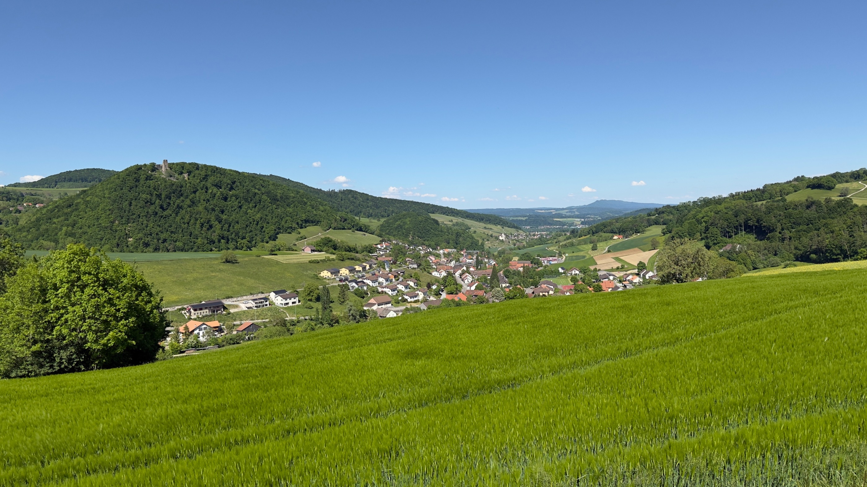
Vue d'ensemble
À propos du circuit
Tour
- -:--
- Durée
- 11,3 km
- Distance
- 315 m
- Montée
- 316 m
- Descente
- ---
- Vit. moyenne
- ---
- Altitude max.

Continuer avec Bikemap
Utilise, modifie ou télécharge cet itinéraire vélo
Tu veux parcourir Mägenwil-Hägglingen-Wohlenschwil-Mägenwil ou l’adapter à ton propre voyage ? Voici ce que tu peux faire avec cet itinéraire Bikemap :
Fonctionnalités gratuites
- Enregistre cet itinéraire comme favori ou dans une collection
- Copie et planifie ta propre version de cet itinéraire
- Synchronise ton itinéraire avec Garmin ou Wahoo
Fonctionnalités Premium
Essai gratuit de 3 jours, ou paiement unique. En savoir plus sur Bikemap Premium.
- Navigue sur cet itinéraire sur iOS et Android
- Exporter un fichier GPX / KML de cet itinéraire
- Crée ton impression personnalisée (essaie-la gratuitement)
- Télécharge cet itinéraire pour la navigation hors ligne
Découvre plus de fonctionnalités Premium.
Obtiens Bikemap PremiumDe notre communauté
Othmarsingen : Autres itinéraires populaires qui commencent ici
 Velolager 2025.2 di Othmarsingen - Muttenz
- Distance
- 69,1 km
- Montée
- 578 m
- Descente
- 710 m
- Emplacement
- Othmarsingen, Canton d’Argovie, Suisse
 250511 Staffelegg Runde
- Distance
- 37,6 km
- Montée
- 497 m
- Descente
- 498 m
- Emplacement
- Othmarsingen, Canton d’Argovie, Suisse
 Möriken-Niederlenz
- Distance
- 14,2 km
- Montée
- 151 m
- Descente
- 141 m
- Emplacement
- Othmarsingen, Canton d’Argovie, Suisse
 Reuss-Zugersee-Emmenbrücke
- Distance
- 63,8 km
- Montée
- 228 m
- Descente
- 199 m
- Emplacement
- Othmarsingen, Canton d’Argovie, Suisse
 Nachmittagstour, Bünztal
- Distance
- 17,2 km
- Montée
- 49 m
- Descente
- 40 m
- Emplacement
- Othmarsingen, Canton d’Argovie, Suisse
 Hochdorf-Sempach-Sursee-retour CLONED FROM ROUTE 1491245
- Distance
- 102,3 km
- Montée
- 760 m
- Descente
- 760 m
- Emplacement
- Othmarsingen, Canton d’Argovie, Suisse
 200620 Othmarsingen Aarau retour
- Distance
- 33,3 km
- Montée
- 144 m
- Descente
- 143 m
- Emplacement
- Othmarsingen, Canton d’Argovie, Suisse
 Rundfahrt Mägenwil
- Distance
- 13,1 km
- Montée
- 336 m
- Descente
- 331 m
- Emplacement
- Othmarsingen, Canton d’Argovie, Suisse
Ouvre-la dans l’app