

Solo JOGLE Day 5
Un itinéraire vélo au départ de Motherwell, Ecosse, Royaume-Uni.
Vue d'ensemble
À propos du circuit
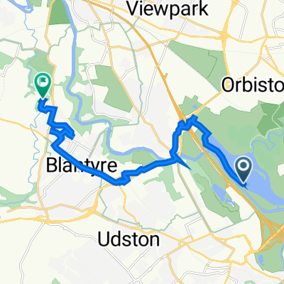
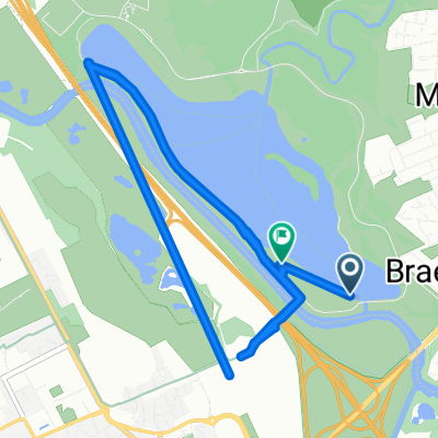
Solo Jogle Jour 5
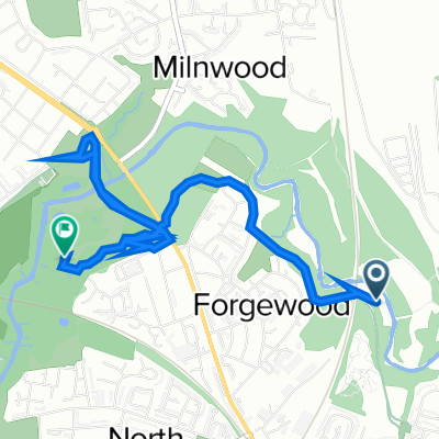
De Strathclyde Loch à Kirkpatrick-Fleming
Camping : King Robert The Bruces Cave
- -:--
- Durée
- 123,1 km
- Distance
- 550 m
- Montée
- 525 m
- Descente
- ---
- Vit. moyenne
- ---
- Altitude max.

Qualité de l’itinéraire
Types de voies et surfaces le long de l’itinéraire
Types de routes
Piste cyclable
11,1 km
(9 %)
Route tranquille
4,9 km
(4 %)
surfaces
Pavé
22,2 km
(18 %)
Asphalte
22,2 km
(18 %)
Indéfini
100,9 km
(82 %)
Continuer avec Bikemap
Utilise, modifie ou télécharge cet itinéraire vélo
Tu veux parcourir Solo JOGLE Day 5 ou l’adapter à ton propre voyage ? Voici ce que tu peux faire avec cet itinéraire Bikemap :
Fonctionnalités gratuites
- Enregistre cet itinéraire comme favori ou dans une collection
- Copie et planifie ta propre version de cet itinéraire
- Divise-le en étapes pour créer un tour sur plusieurs jours
- Synchronise ton itinéraire avec Garmin ou Wahoo
Fonctionnalités Premium
Essai gratuit de 3 jours, ou paiement unique. En savoir plus sur Bikemap Premium.
- Navigue sur cet itinéraire sur iOS et Android
- Exporter un fichier GPX / KML de cet itinéraire
- Crée ton impression personnalisée (essaie-la gratuitement)
- Télécharge cet itinéraire pour la navigation hors ligne
Découvre plus de fonctionnalités Premium.
Obtiens Bikemap PremiumDe notre communauté
Motherwell : Autres itinéraires populaires qui commencent ici
 The Ladywell Way - Motherwell to Hillend Reservoir
- Distance
- 33 km
- Montée
- 340 m
- Descente
- 339 m
- Emplacement
- Motherwell, Ecosse, Royaume-Uni
 The Ladywell Way - Motherwell to Hillend Reservoir
- Distance
- 17,3 km
- Montée
- 268 m
- Descente
- 147 m
- Emplacement
- Motherwell, Ecosse, Royaume-Uni
 Dalriada Crescent 156 to Forbes Drive 9
- Distance
- 4 km
- Montée
- 214 m
- Descente
- 209 m
- Emplacement
- Motherwell, Ecosse, Royaume-Uni
 Motherwell West Ward, North Lanarkshire to 72 Kirkwall Ave, Glasgow
- Distance
- 10,9 km
- Montée
- 90 m
- Descente
- 78 m
- Emplacement
- Motherwell, Ecosse, Royaume-Uni
 Prospect Hill Road 6 to Merry Street 545
- Distance
- 3,4 km
- Montée
- 36 m
- Descente
- 32 m
- Emplacement
- Motherwell, Ecosse, Royaume-Uni
 Woodlands Road 31 to M74
- Distance
- 9,7 km
- Montée
- 92 m
- Descente
- 144 m
- Emplacement
- Motherwell, Ecosse, Royaume-Uni
 Hamilton Road 366, Bellshill to Unnamed Road, Bellshill
- Distance
- 10,2 km
- Montée
- 41 m
- Descente
- 41 m
- Emplacement
- Motherwell, Ecosse, Royaume-Uni
 Solo JOGLE Day 5
- Distance
- 123,1 km
- Montée
- 550 m
- Descente
- 525 m
- Emplacement
- Motherwell, Ecosse, Royaume-Uni
Ouvre-la dans l’app