KIN-22L Spring 2020
2020-04-24 Bike Ride (In Reverse)
Un itinéraire vélo au départ de Santa Cruz, Californie, États Unis.
Vue d'ensemble
À propos du circuit
J'ai parcouru cet itinéraire dans la direction opposée à celle que je prends habituellement. J'ai pu descendre W. Cliff du côté de l'eau de la route et c'était agréable.
- -:--
- Durée
- 14,5 km
- Distance
- 32 m
- Montée
- 31 m
- Descente
- ---
- Vit. moyenne
- ---
- Altitude max.
Partie de
17 étapes
Qualité de l’itinéraire
Types de voies et surfaces le long de l’itinéraire
Types de routes
Piste cyclable
6,8 km
(47 %)
Route
2,5 km
(17 %)
surfaces
Pavé
11,3 km
(78 %)
Asphalte
9,9 km
(68 %)
Pavé (non défini)
0,9 km
(6 %)
Points forts de l’itinéraire
Points d’intérêt le long de l’itinéraire

Photo après 0,2 km
The arena in the distance.

Photo après 1,8 km
Off Pacific and onto Locust

Photo après 2,3 km
Off Locust onto Chestnut

Photo après 2,5 km
Little park I never noticed before.

Photo après 2,8 km
Turning on to California

Photo après 3,6 km
A little street improvement at California and Bay

Photo après 4,3 km
Off Bay onto Laguna

Photo après 7,1 km
After a nice long ride turning onto Swanton.

Photo après 7,7 km
Off Swanton onto W. Cliff for a nice ride along the sea.
Point d'intérêt après 9,3 km
I saw 2 police officers and 2 firefighters standing here looking over the cliff. I took a look too. There were a lot of people on the beach and they were not practicing social distancing.

Photo après 10,5 km
Here at Dog Beach people were a little better about social distancing.

Photo après 13,1 km
Going to head over the bridge.

Photo après 13,7 km
Ocean Apartments
Photo après 14,2 km
Heading down Riverside Ave to Second Street.

Photo après 14,5 km
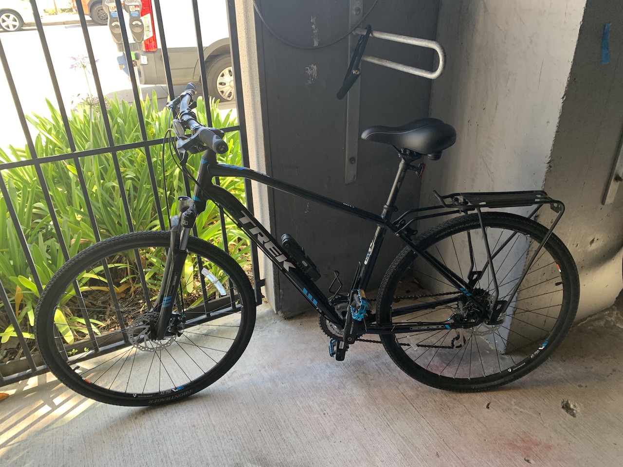
Back in the garage.

Photo après 14,5 km
Beginning
Continuer avec Bikemap
Utilise, modifie ou télécharge cet itinéraire vélo
Tu veux parcourir 2020-04-24 Bike Ride (In Reverse) ou l’adapter à ton propre voyage ? Voici ce que tu peux faire avec cet itinéraire Bikemap :
Fonctionnalités gratuites
- Enregistre cet itinéraire comme favori ou dans une collection
- Copie et planifie ta propre version de cet itinéraire
- Synchronise ton itinéraire avec Garmin ou Wahoo
Fonctionnalités Premium
Essai gratuit de 3 jours, ou paiement unique. En savoir plus sur Bikemap Premium.
- Navigue sur cet itinéraire sur iOS et Android
- Exporter un fichier GPX / KML de cet itinéraire
- Crée ton impression personnalisée (essaie-la gratuitement)
- Télécharge cet itinéraire pour la navigation hors ligne
Découvre plus de fonctionnalités Premium.
Obtiens Bikemap PremiumDe notre communauté
Santa Cruz : Autres itinéraires populaires qui commencent ici
 2020-04-18 Bike Route
- Distance
- 14,8 km
- Montée
- 53 m
- Descente
- 53 m
- Emplacement
- Santa Cruz, Californie, États Unis
 2020-04-24 Bike Ride (In Reverse)
- Distance
- 14,5 km
- Montée
- 32 m
- Descente
- 31 m
- Emplacement
- Santa Cruz, Californie, États Unis
 2020-05-14 Bike Ride
- Distance
- 16,4 km
- Montée
- 85 m
- Descente
- 83 m
- Emplacement
- Santa Cruz, Californie, États Unis
 2020-04-23 Bike Ride
- Distance
- 13,6 km
- Montée
- 38 m
- Descente
- 39 m
- Emplacement
- Santa Cruz, Californie, États Unis
 Branciforte-Scotts Valley-Felton Empire loop
- Distance
- 40,4 km
- Montée
- 905 m
- Descente
- 877 m
- Emplacement
- Santa Cruz, Californie, États Unis
 Branciforte-Old San Jose Rd.-East Cliff Drive
- Distance
- 40,6 km
- Montée
- 328 m
- Descente
- 328 m
- Emplacement
- Santa Cruz, Californie, États Unis
 2020-04-15 Bike ride
- Distance
- 14 km
- Montée
- 55 m
- Descente
- 59 m
- Emplacement
- Santa Cruz, Californie, États Unis
 2020-05-10 Bike Ride
- Distance
- 15 km
- Montée
- 52 m
- Descente
- 49 m
- Emplacement
- Santa Cruz, Californie, États Unis
Ouvre-la dans l’app


