KIN-22L Spring 2020
2020-04-25 Bike Ride
Un itinéraire vélo au départ de Santa Cruz, Californie, États Unis.
Vue d'ensemble
À propos du circuit
Le temps est magnifique et il y avait tellement de monde dehors. Nous ne respectons peut-être pas aussi bien la distanciation sociale que nous le devrions. Mais la plupart des gens portaient des masques.
- -:--
- Durée
- 14,7 km
- Distance
- 55 m
- Montée
- 57 m
- Descente
- ---
- Vit. moyenne
- ---
- Altitude max.
Partie de
17 étapes
Qualité de l’itinéraire
Types de voies et surfaces le long de l’itinéraire
Types de routes
Piste cyclable
7,8 km
(53 %)
Route
3,8 km
(26 %)
surfaces
Pavé
13,4 km
(91 %)
Asphalte
12,2 km
(83 %)
Pavé (non défini)
0,9 km
(6 %)
Points forts de l’itinéraire
Points d’intérêt le long de l’itinéraire

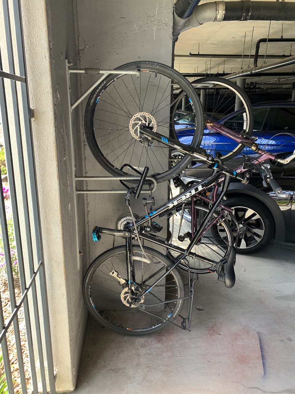
Photo après 0 km
Beginning

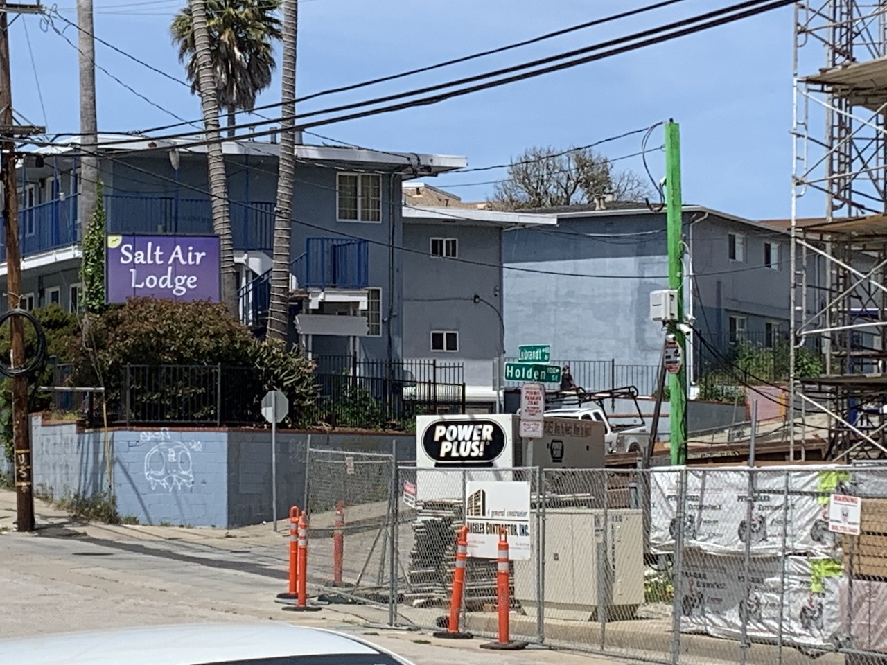
Photo après 0 km
I heard this hotel was going to be a Marriott. I hope so. You can see the construction on the right.

Photo après 1,1 km
I could go for a nice ride if I turned right but I'm going left.

Photo après 3,5 km
That Mexican place is pretty decent. I ate there once. But be advised...I'm from Boston so what do I know?

Photo après 4 km
Went to a fun Japanese festival at the park here once.

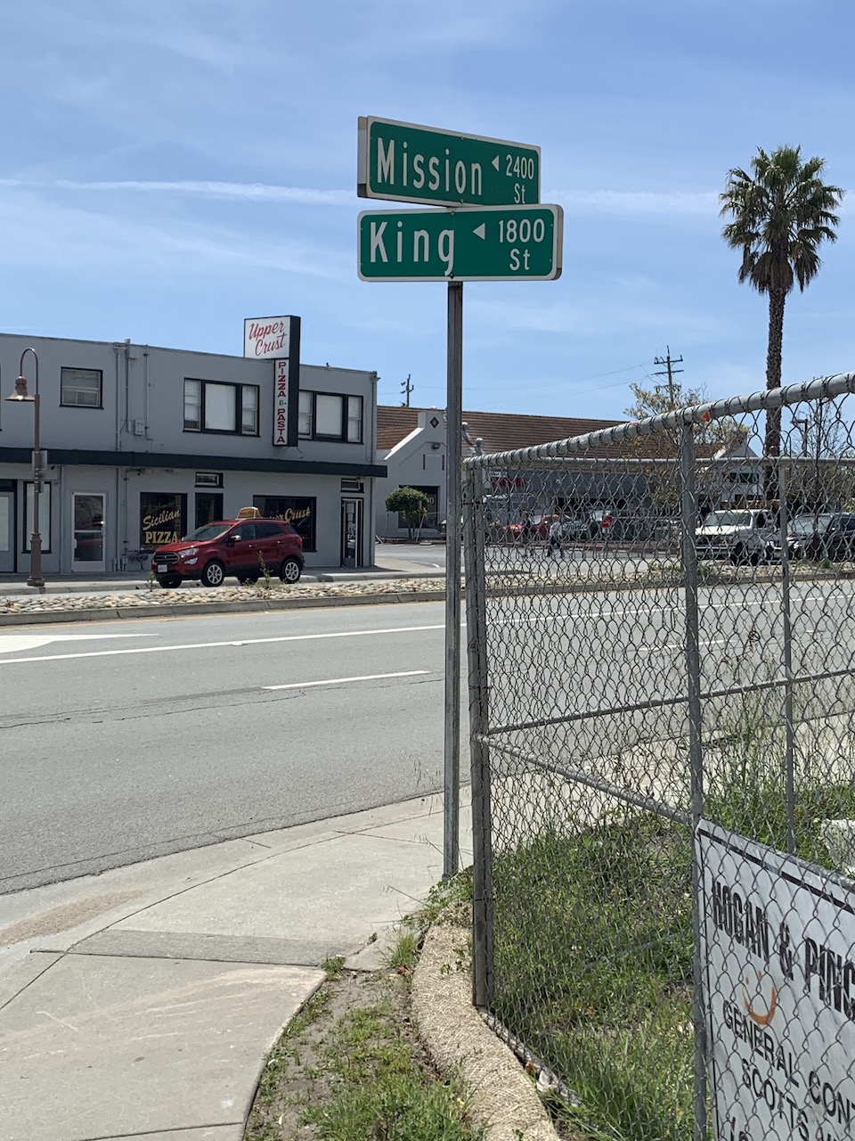
Photo après 4,6 km
I didn't want to be on the main street because there was a lot of traffic so I went down King Street admiring the nice houses.

Photo après 6,6 km
King Street came out close to where I hoped it would come out.

Photo après 7,1 km
Just a landmark to show my progress.

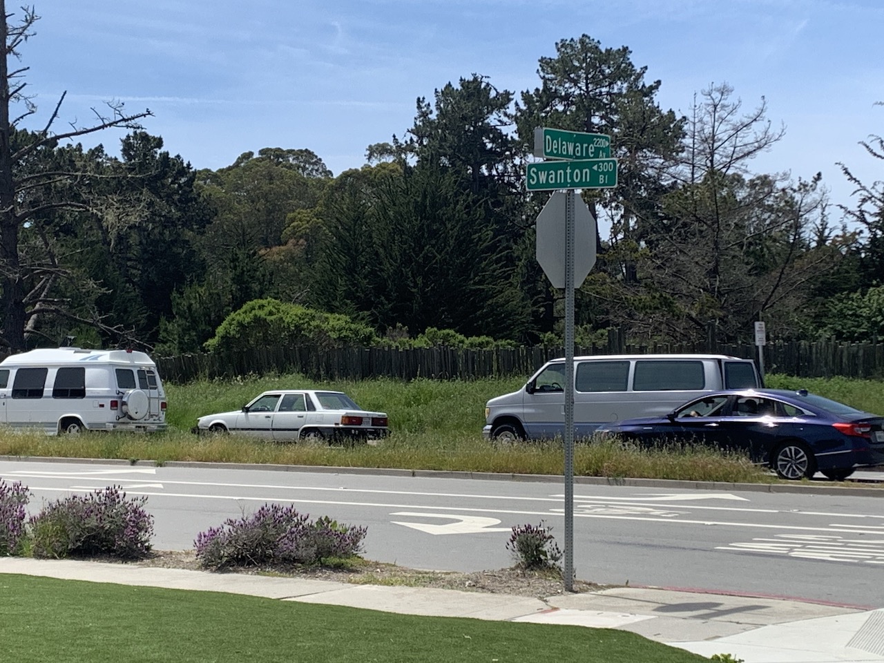
Photo après 7,8 km
Delaware to Swanton. Heading for West Cliff and the sceneic ride.

Photo après 8,4 km
Natural Bridges Beach. More people out there than I expected but I can't blame them. It is a beautiful day!

Photo après 11,7 km
Steamers Lane looking at the wharf.

Photo après 13,9 km
Park Place. An interesting name for a street right next to a big parking lot.

Photo après 14,5 km
Back to Riverside.

Photo après 14,7 km
Home Base

Photo après 14,7 km
Ride Complete.
Continuer avec Bikemap
Utilise, modifie ou télécharge cet itinéraire vélo
Tu veux parcourir 2020-04-25 Bike Ride ou l’adapter à ton propre voyage ? Voici ce que tu peux faire avec cet itinéraire Bikemap :
Fonctionnalités gratuites
- Enregistre cet itinéraire comme favori ou dans une collection
- Copie et planifie ta propre version de cet itinéraire
- Synchronise ton itinéraire avec Garmin ou Wahoo
Fonctionnalités Premium
Essai gratuit de 3 jours, ou paiement unique. En savoir plus sur Bikemap Premium.
- Navigue sur cet itinéraire sur iOS et Android
- Exporter un fichier GPX / KML de cet itinéraire
- Crée ton impression personnalisée (essaie-la gratuitement)
- Télécharge cet itinéraire pour la navigation hors ligne
Découvre plus de fonctionnalités Premium.
Obtiens Bikemap PremiumDe notre communauté
Santa Cruz : Autres itinéraires populaires qui commencent ici
 2020-04-18 Bike Route
- Distance
- 14,8 km
- Montée
- 53 m
- Descente
- 53 m
- Emplacement
- Santa Cruz, Californie, États Unis
 2020-05-14 Bike Ride
- Distance
- 16,4 km
- Montée
- 85 m
- Descente
- 83 m
- Emplacement
- Santa Cruz, Californie, États Unis
 Branciforte-Old San Jose Rd.-East Cliff Drive
- Distance
- 40,6 km
- Montée
- 328 m
- Descente
- 328 m
- Emplacement
- Santa Cruz, Californie, États Unis
 2020-04-15 Bike ride
- Distance
- 14 km
- Montée
- 55 m
- Descente
- 59 m
- Emplacement
- Santa Cruz, Californie, États Unis
 2020-04-10 Bike Ride
- Distance
- 10,9 km
- Montée
- 33 m
- Descente
- 36 m
- Emplacement
- Santa Cruz, Californie, États Unis
 2020-04-11 Bike Route 3
- Distance
- 13,9 km
- Montée
- 45 m
- Descente
- 47 m
- Emplacement
- Santa Cruz, Californie, États Unis
 Branciforte-Scotts Valley-Felton Empire loop
- Distance
- 40,4 km
- Montée
- 905 m
- Descente
- 877 m
- Emplacement
- Santa Cruz, Californie, États Unis
 2020-05-02 (Extended Route)
- Distance
- 17 km
- Montée
- 98 m
- Descente
- 98 m
- Emplacement
- Santa Cruz, Californie, États Unis
Ouvre-la dans l’app


