KIN-22L Spring 2020
2020-05-02 (Extended Route)
Un itinéraire vélo au départ de Santa Cruz, Californie, États Unis.
Vue d'ensemble
À propos du circuit
J'ai effectué une reconnaissance de carte et essayé de créer un itinéraire étendu parce que je suis prêt à intensifier. J'ai trouvé que la colline de High Street était un grand défi.
- -:--
- Durée
- 17 km
- Distance
- 98 m
- Montée
- 98 m
- Descente
- ---
- Vit. moyenne
- ---
- Altitude max.
Partie de
17 étapes
Qualité de l’itinéraire
Types de voies et surfaces le long de l’itinéraire
Types de routes
Piste cyclable
8,9 km
(52 %)
Route
3,1 km
(18 %)
surfaces
Pavé
13,1 km
(77 %)
Asphalte
11,6 km
(68 %)
Pavé (non défini)
0,9 km
(5 %)
Points forts de l’itinéraire
Points d’intérêt le long de l’itinéraire
Photo après 0 km
Start

Photo après 0,2 km
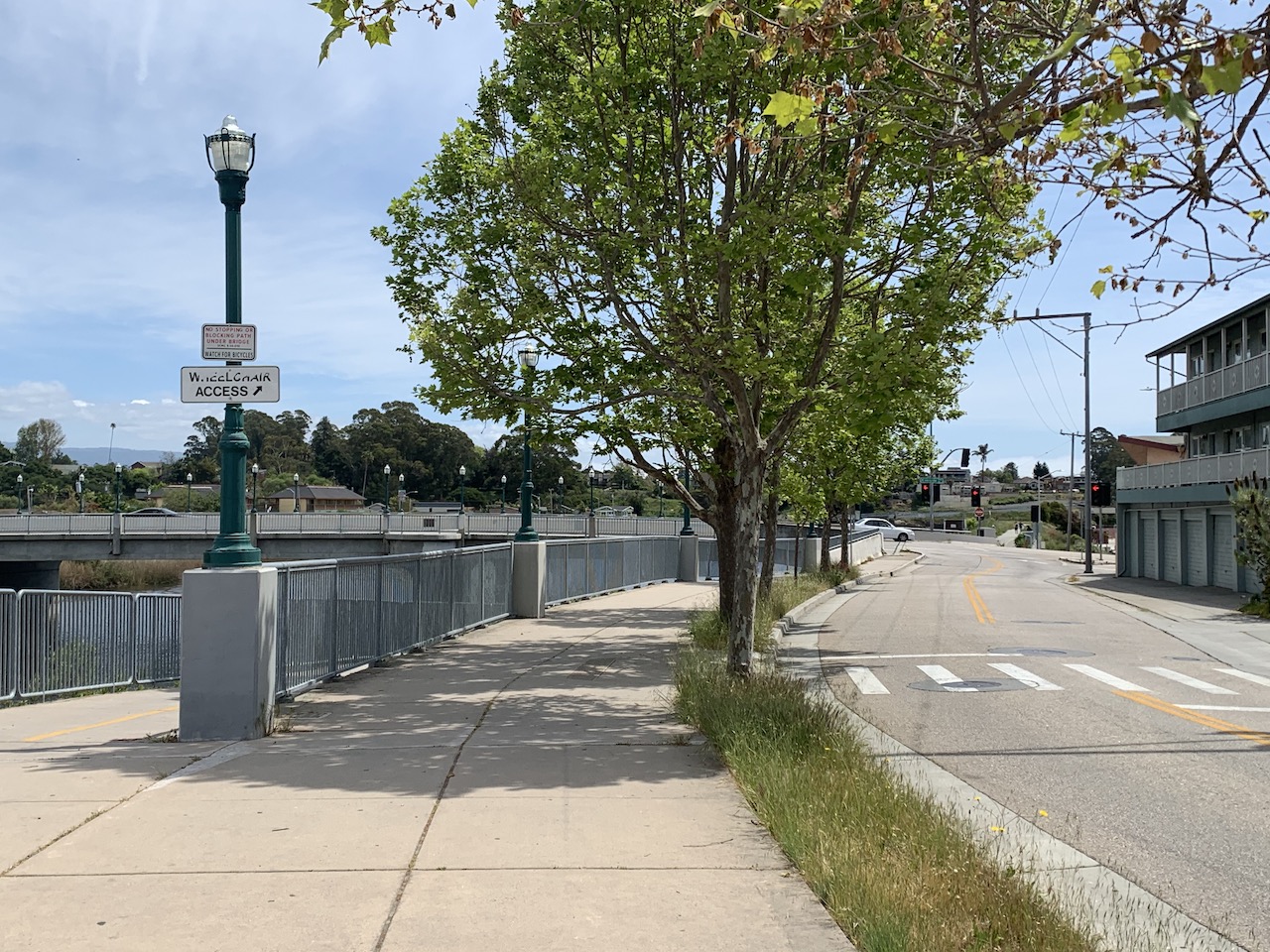
Getting on the bike trail

Photo après 1,1 km
Looking back at the boardwalk

Photo après 3,8 km
Highway 1 signs. I like this new part of my route.

Photo après 4,6 km
Drive-through at the bank

Photo après 5,2 km
Big Church

Photo après 5,4 km
Found an overpass

Photo après 5,6 km
Saw the hill on High Street...started to realize this might be too much of a hill for me.

Photo après 6,6 km
Couldn't make it any further up the hill.

Photo après 6,8 km
This is a gorgeous neighborhood.

Photo après 7,5 km
Bay and Escalona

Photo après 7,8 km
Stopped to figure out which way to go.

Photo après 8,7 km
Getting oriented

Photo après 9,2 km
Found my way

Point d'intérêt après 9,6 km
Surprised to see a farmer's market in operation

Photo après 9,7 km
Tracking my route

Photo après 9,9 km
This is exactly where I wanted to end up.

Photo après 10,7 km
Stopped to take a photo and the park guys shoo'ed me away with their loudspeaker.

Photo après 14,9 km
Surfers

Photo après 16,3 km
Heading home

Photo après 16,7 km
Almost there

Photo après 17 km
Our garage door

Photo après 17 km
End
Continuer avec Bikemap
Utilise, modifie ou télécharge cet itinéraire vélo
Tu veux parcourir 2020-05-02 (Extended Route) ou l’adapter à ton propre voyage ? Voici ce que tu peux faire avec cet itinéraire Bikemap :
Fonctionnalités gratuites
- Enregistre cet itinéraire comme favori ou dans une collection
- Copie et planifie ta propre version de cet itinéraire
- Synchronise ton itinéraire avec Garmin ou Wahoo
Fonctionnalités Premium
Essai gratuit de 3 jours, ou paiement unique. En savoir plus sur Bikemap Premium.
- Navigue sur cet itinéraire sur iOS et Android
- Exporter un fichier GPX / KML de cet itinéraire
- Crée ton impression personnalisée (essaie-la gratuitement)
- Télécharge cet itinéraire pour la navigation hors ligne
Découvre plus de fonctionnalités Premium.
Obtiens Bikemap PremiumDe notre communauté
Santa Cruz : Autres itinéraires populaires qui commencent ici
 Branciforte-Old San Jose Rd.-East Cliff Drive
- Distance
- 40,6 km
- Montée
- 328 m
- Descente
- 328 m
- Emplacement
- Santa Cruz, Californie, États Unis
 2020-04-15 Bike ride
- Distance
- 14 km
- Montée
- 55 m
- Descente
- 59 m
- Emplacement
- Santa Cruz, Californie, États Unis
 2020-05-02 (Extended Route)
- Distance
- 17 km
- Montée
- 98 m
- Descente
- 98 m
- Emplacement
- Santa Cruz, Californie, États Unis
 2020-04-18 Bike Route
- Distance
- 14,8 km
- Montée
- 53 m
- Descente
- 53 m
- Emplacement
- Santa Cruz, Californie, États Unis
 2020-04-10 Bike Ride
- Distance
- 10,9 km
- Montée
- 33 m
- Descente
- 36 m
- Emplacement
- Santa Cruz, Californie, États Unis
 2020-05-14 Bike Ride
- Distance
- 16,4 km
- Montée
- 85 m
- Descente
- 83 m
- Emplacement
- Santa Cruz, Californie, États Unis
 2020-04-11 Bike Route 3
- Distance
- 13,9 km
- Montée
- 45 m
- Descente
- 47 m
- Emplacement
- Santa Cruz, Californie, États Unis
 2020-05-10 Bike Ride
- Distance
- 15 km
- Montée
- 52 m
- Descente
- 49 m
- Emplacement
- Santa Cruz, Californie, États Unis
Ouvre-la dans l’app


