

P-Biel/Solothurn/Biel (65km)
Un itinéraire vélo au départ de Bienne, Canton de Berne, Suisse.
Vue d'ensemble
À propos du circuit
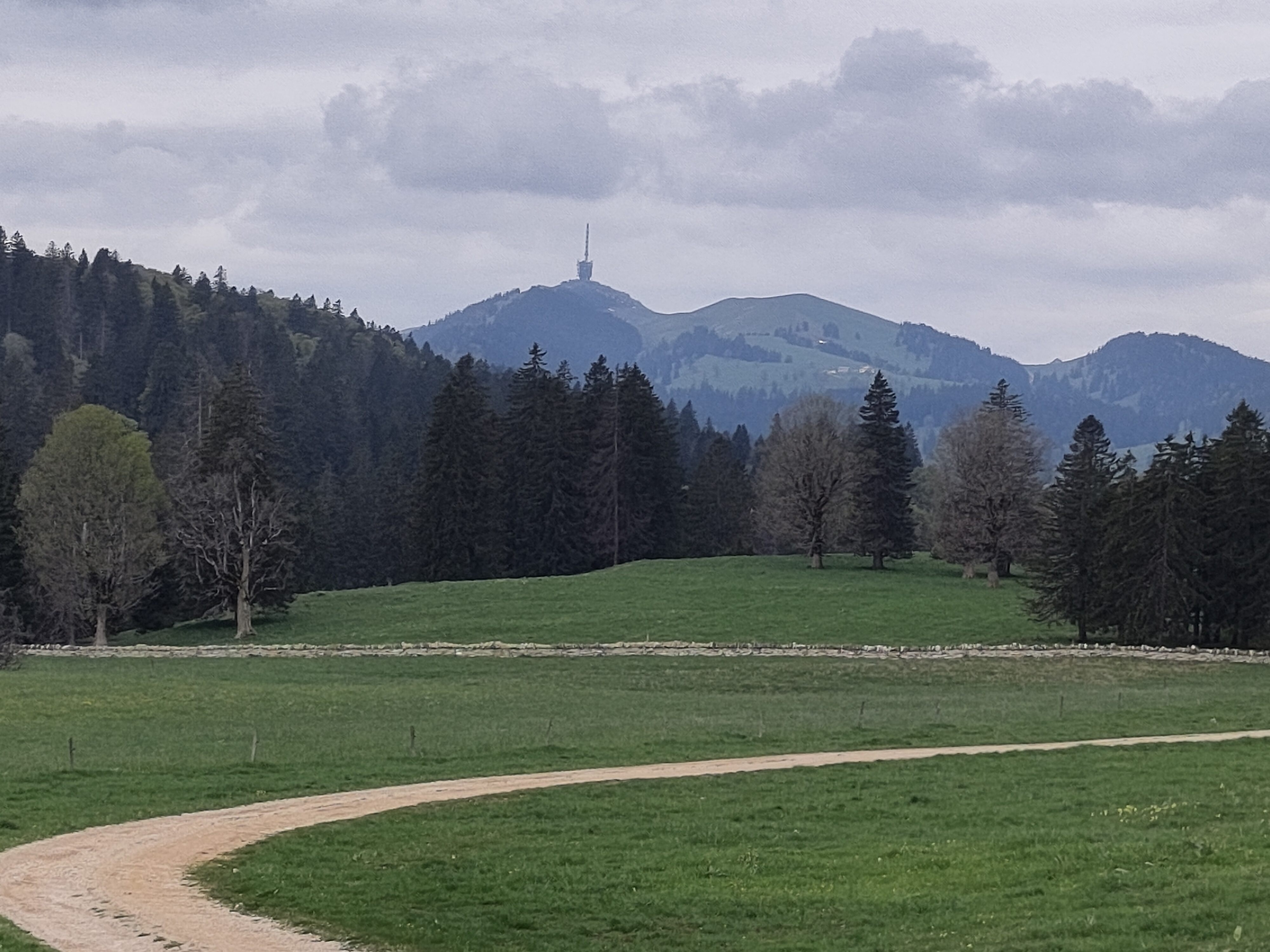
Wonderful route (especially 2nd half). First 40km are not difficult, area around Solothurn is touristic because it goes to city centre (too many people and cars around...) then it starts lovely part of the route. First climb in Langendorf (2.5km) is not very steep; then 1.5km in Bettlach is really hard and definitely the most difficul of the route; last climb 2km in Safnern is also difficult because it comes at the end. Lovely route, amazing countryside with a view of the mountains.
- -:--
- Durée
- 65,5 km
- Distance
- 537 m
- Montée
- 539 m
- Descente
- ---
- Vit. moyenne
- ---
- Altitude max.

Qualité de l’itinéraire
Types de voies et surfaces le long de l’itinéraire
Types de routes
Route
32 km
(49 %)
Route fréquentée
18,7 km
(29 %)
surfaces
Pavé
47,5 km
(73 %)
Non pavé
0,6 km
(<1 %)
Asphalte
44,4 km
(68 %)
Pavé (non défini)
2,4 km
(4 %)
Continuer avec Bikemap
Utilise, modifie ou télécharge cet itinéraire vélo
Tu veux parcourir P-Biel/Solothurn/Biel (65km) ou l’adapter à ton propre voyage ? Voici ce que tu peux faire avec cet itinéraire Bikemap :
Fonctionnalités gratuites
- Enregistre cet itinéraire comme favori ou dans une collection
- Copie et planifie ta propre version de cet itinéraire
- Synchronise ton itinéraire avec Garmin ou Wahoo
Fonctionnalités Premium
Essai gratuit de 3 jours, ou paiement unique. En savoir plus sur Bikemap Premium.
- Navigue sur cet itinéraire sur iOS et Android
- Exporter un fichier GPX / KML de cet itinéraire
- Crée ton impression personnalisée (essaie-la gratuitement)
- Télécharge cet itinéraire pour la navigation hors ligne
Découvre plus de fonctionnalités Premium.
Obtiens Bikemap PremiumDe notre communauté
Bienne : Autres itinéraires populaires qui commencent ici
 Biel - Saisselin - Jobert - Biel
- Distance
- 38,5 km
- Montée
- 1 292 m
- Descente
- 1 293 m
- Emplacement
- Bienne, Canton de Berne, Suisse
 47°Nord Tour de Suisse Etappe 1
- Distance
- 91,5 km
- Montée
- 225 m
- Descente
- 172 m
- Emplacement
- Bienne, Canton de Berne, Suisse
 P-Biel/Aarberg/Oltigen (72km)
- Distance
- 72,3 km
- Montée
- 1 097 m
- Descente
- 1 096 m
- Emplacement
- Bienne, Canton de Berne, Suisse
 P-Biel/Grenchen/Plagne (32km)
- Distance
- 31,6 km
- Montée
- 583 m
- Descente
- 581 m
- Emplacement
- Bienne, Canton de Berne, Suisse
 P-Biel/Evilard/Orvin/Plagne/Grenchen (37km)
- Distance
- 37,8 km
- Montée
- 683 m
- Descente
- 684 m
- Emplacement
- Bienne, Canton de Berne, Suisse
 Biel-Gurnigel
- Distance
- 140,6 km
- Montée
- 1 682 m
- Descente
- 1 681 m
- Emplacement
- Bienne, Canton de Berne, Suisse
 P-Biel/Aetigkofen (70km)
- Distance
- 70,4 km
- Montée
- 753 m
- Descente
- 749 m
- Emplacement
- Bienne, Canton de Berne, Suisse
 P-BielerSee (77km)
- Distance
- 76,7 km
- Montée
- 394 m
- Descente
- 395 m
- Emplacement
- Bienne, Canton de Berne, Suisse
Ouvre-la dans l’app