

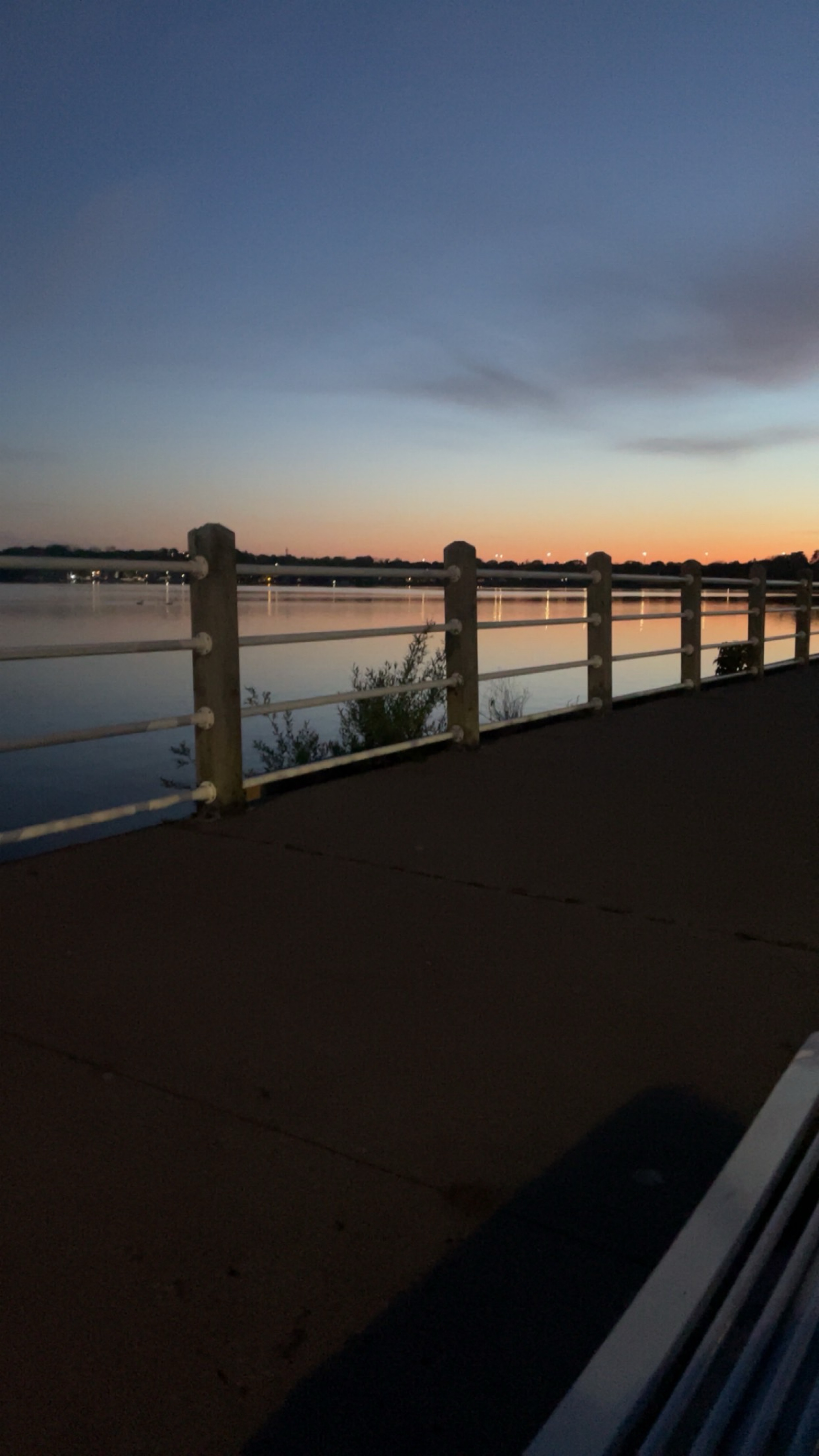
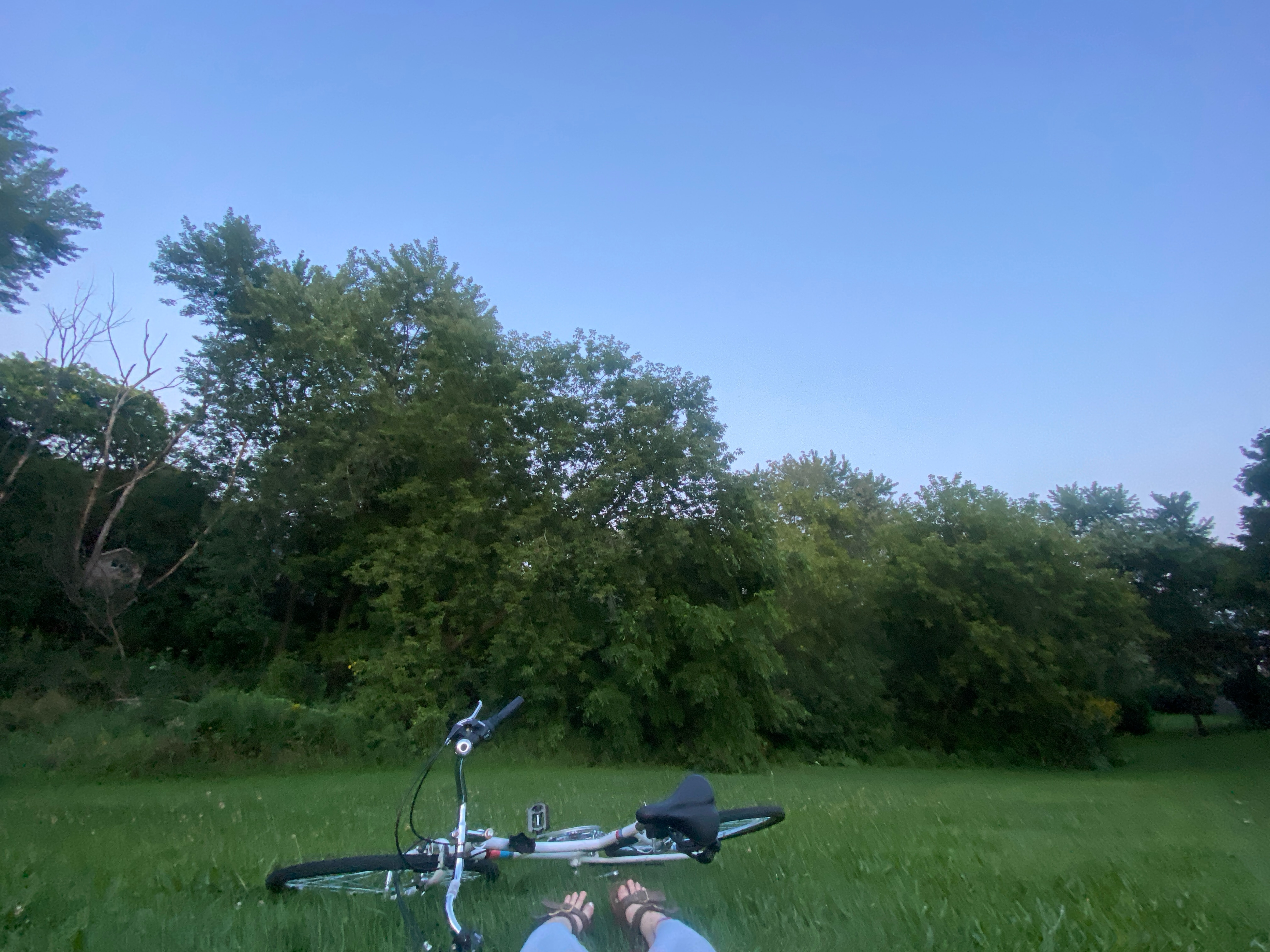
Waterfront Trail (Port Union)
Un itinéraire vélo au départ de Ajax, Ontario, Canada.
Vue d'ensemble
À propos du circuit
A fairly routine ride with excellent views of both Lake Ontario and the Highland Creek valley.
Fairly flat, but Beechgrove Dr. slopes gradually up from the lake, and after crossing the mouth of Highland Creek you must scale the side of a small bluff.
- -:--
- Durée
- 11 km
- Distance
- 62 m
- Montée
- 57 m
- Descente
- ---
- Vit. moyenne
- ---
- Altitude max.
Continuer avec Bikemap
Utilise, modifie ou télécharge cet itinéraire vélo
Tu veux parcourir Waterfront Trail (Port Union) ou l’adapter à ton propre voyage ? Voici ce que tu peux faire avec cet itinéraire Bikemap :
Fonctionnalités gratuites
- Enregistre cet itinéraire comme favori ou dans une collection
- Copie et planifie ta propre version de cet itinéraire
- Synchronise ton itinéraire avec Garmin ou Wahoo
Fonctionnalités Premium
Essai gratuit de 3 jours, ou paiement unique. En savoir plus sur Bikemap Premium.
- Navigue sur cet itinéraire sur iOS et Android
- Exporter un fichier GPX / KML de cet itinéraire
- Crée ton impression personnalisée (essaie-la gratuitement)
- Télécharge cet itinéraire pour la navigation hors ligne
Découvre plus de fonctionnalités Premium.
Obtiens Bikemap PremiumDe notre communauté
Ajax : Autres itinéraires populaires qui commencent ici
 beach
beach- Distance
- 6,9 km
- Montée
- 34 m
- Descente
- 34 m
- Emplacement
- Ajax, Ontario, Canada
 Ajax to Eglinton and Warden (My Commute To Work)
- Distance
- 31,8 km
- Montée
- 230 m
- Descente
- 190 m
- Emplacement
- Ajax, Ontario, Canada
 Ajax, Whitby Oshawa path loop ride. (Cold Day)
- Distance
- 60,4 km
- Montée
- 113 m
- Descente
- 112 m
- Emplacement
- Ajax, Ontario, Canada
 Whitby to Port Hope
- Distance
- 72,9 km
- Montée
- 260 m
- Descente
- 277 m
- Emplacement
- Ajax, Ontario, Canada
 Durham Regional Highway 2 778, Ajax to Dolphin Lane 1375, Ajax
- Distance
- 24,2 km
- Montée
- 56 m
- Descente
- 91 m
- Emplacement
- Ajax, Ontario, Canada
 Winter paved path ride through Ajax, ON.
- Distance
- 29 km
- Montée
- 87 m
- Descente
- 88 m
- Emplacement
- Ajax, Ontario, Canada
 dim trail
- Distance
- 2,4 km
- Montée
- 0 m
- Descente
- 7 m
- Emplacement
- Ajax, Ontario, Canada
 Towards Ajax - 15k roundtrip
- Distance
- 15,8 km
- Montée
- 62 m
- Descente
- 62 m
- Emplacement
- Ajax, Ontario, Canada
Ouvre-la dans l’app