KIN-22L Spring 2020
2020-05-14 Bike Ride
Un itinéraire vélo au départ de Santa Cruz, Californie, États Unis.
Vue d'ensemble
À propos du circuit
Un beau parcours par une journée fraîche.
- -:--
- Durée
- 16,4 km
- Distance
- 85 m
- Montée
- 83 m
- Descente
- ---
- Vit. moyenne
- ---
- Altitude max.
Partie de
17 étapes
Qualité de l’itinéraire
Types de voies et surfaces le long de l’itinéraire
Types de routes
Piste cyclable
8,9 km
(54 %)
Route
3,5 km
(21 %)
surfaces
Pavé
14,5 km
(88 %)
Asphalte
12,8 km
(78 %)
Pavé (non défini)
1 km
(6 %)
Points forts de l’itinéraire
Points d’intérêt le long de l’itinéraire

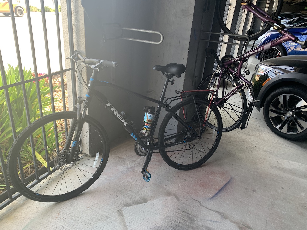
Photo après 0 km
Starting

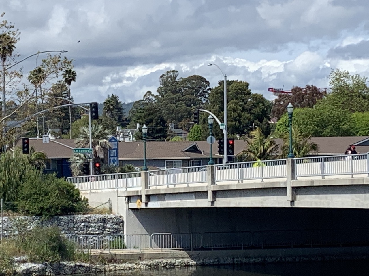
Photo après 0,1 km
Planning to cross the bridge

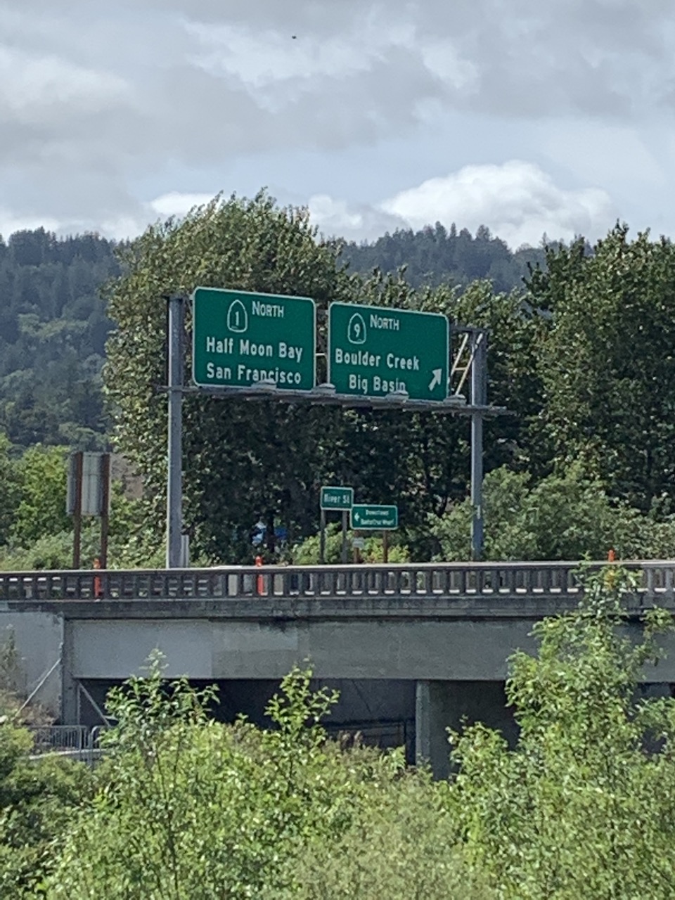
Photo après 2,4 km
Looking at Rte 1.

Photo après 3,1 km
Taco place

Photo après 3,7 km
Reliquary...whatever that is.

Photo après 4,1 km
Not going to attempt High Street again...that's still too much hill for me.

Photo après 5,2 km
Escalona and Walnut

Photo après 6,5 km
Ended up on King Street

Photo après 7,4 km
Heading to Delaware and Natural Bridges

Photo après 8,7 km
I like going through Crespi Court more than riding down Swanton.

Photo après 9,5 km
The beaches are mostly closed

Photo après 9,5 km

Photo après 12,7 km
The lighthouse

Photo après 15 km
Going to head over the bridge.

Photo après 16 km
Same view as the beginning except from the other side of the river.

Photo après 16,4 km
Ending
Continuer avec Bikemap
Utilise, modifie ou télécharge cet itinéraire vélo
Tu veux parcourir 2020-05-14 Bike Ride ou l’adapter à ton propre voyage ? Voici ce que tu peux faire avec cet itinéraire Bikemap :
Fonctionnalités gratuites
- Enregistre cet itinéraire comme favori ou dans une collection
- Copie et planifie ta propre version de cet itinéraire
- Synchronise ton itinéraire avec Garmin ou Wahoo
Fonctionnalités Premium
Essai gratuit de 3 jours, ou paiement unique. En savoir plus sur Bikemap Premium.
- Navigue sur cet itinéraire sur iOS et Android
- Exporter un fichier GPX / KML de cet itinéraire
- Crée ton impression personnalisée (essaie-la gratuitement)
- Télécharge cet itinéraire pour la navigation hors ligne
Découvre plus de fonctionnalités Premium.
Obtiens Bikemap PremiumDe notre communauté
Santa Cruz : Autres itinéraires populaires qui commencent ici
 2020-04-10 Bike Ride
- Distance
- 10,9 km
- Montée
- 33 m
- Descente
- 36 m
- Emplacement
- Santa Cruz, Californie, États Unis
 2020-04-23 Bike Ride
- Distance
- 13,6 km
- Montée
- 38 m
- Descente
- 39 m
- Emplacement
- Santa Cruz, Californie, États Unis
 2020-04-11 Bike Route 3
- Distance
- 13,9 km
- Montée
- 45 m
- Descente
- 47 m
- Emplacement
- Santa Cruz, Californie, États Unis
 2020-05-02 (Extended Route)
- Distance
- 17 km
- Montée
- 98 m
- Descente
- 98 m
- Emplacement
- Santa Cruz, Californie, États Unis
 Branciforte-Scotts Valley-Felton Empire loop
- Distance
- 40,4 km
- Montée
- 905 m
- Descente
- 877 m
- Emplacement
- Santa Cruz, Californie, États Unis
 2020-05-14 Bike Ride
- Distance
- 16,4 km
- Montée
- 85 m
- Descente
- 83 m
- Emplacement
- Santa Cruz, Californie, États Unis
 2020-04-15 Bike ride
- Distance
- 14 km
- Montée
- 55 m
- Descente
- 59 m
- Emplacement
- Santa Cruz, Californie, États Unis
 2020-05-10 Bike Ride
- Distance
- 15 km
- Montée
- 52 m
- Descente
- 49 m
- Emplacement
- Santa Cruz, Californie, États Unis
Ouvre-la dans l’app


