

SOUTH LAKE UNION - WESTLAKE - MAGNOLIA
Un itinéraire vélo au départ de Seattle, Washington, États Unis.
Vue d'ensemble
À propos du circuit
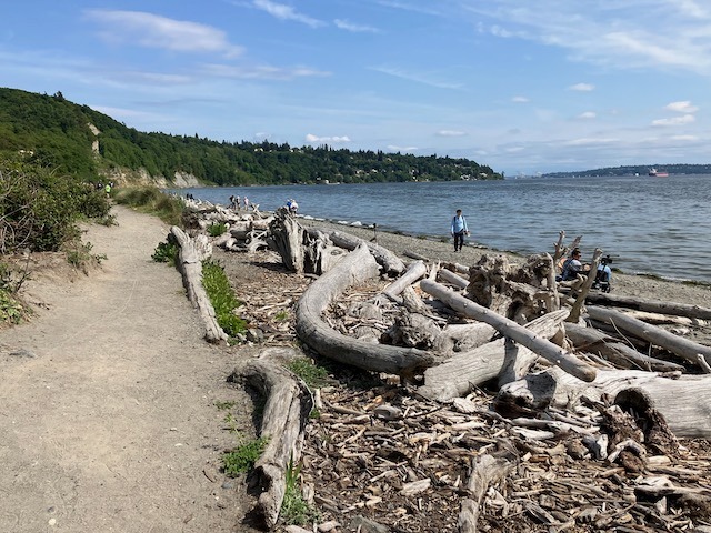
This is one of my all-time favorite rides! Starting at Denny Park downtown you go through South Lake Union on a brand-new protected bike lane, then onto the fabulous protected bike lane that runs along Westlake (which opened in 2016). Next is the flat, serene and lovely Ship Canal multi-use trail, which is much less hectic than the more famous Burke Gilman trail across the water. Continue on protected bike lanes all through Magnolia to the entrance for Discovery Park, which is currently a bicyclist’s paradise because park roads are mostly closed to car traffic due to the pandemic. The fairly steep ride to the top of the park is well worth the view.
- -:--
- Durée
- 9,3 km
- Distance
- 131 m
- Montée
- 50 m
- Descente
- ---
- Vit. moyenne
- ---
- Altitude max.

Qualité de l’itinéraire
Types de voies et surfaces le long de l’itinéraire
Types de routes
Piste cyclable
5,4 km
(58 %)
Route tranquille
1,3 km
(14 %)
surfaces
Pavé
9,2 km
(99 %)
Asphalte
6,2 km
(66 %)
Béton
2,3 km
(25 %)
Continuer avec Bikemap
Utilise, modifie ou télécharge cet itinéraire vélo
Tu veux parcourir SOUTH LAKE UNION - WESTLAKE - MAGNOLIA ou l’adapter à ton propre voyage ? Voici ce que tu peux faire avec cet itinéraire Bikemap :
Fonctionnalités gratuites
- Enregistre cet itinéraire comme favori ou dans une collection
- Copie et planifie ta propre version de cet itinéraire
- Synchronise ton itinéraire avec Garmin ou Wahoo
Fonctionnalités Premium
Essai gratuit de 3 jours, ou paiement unique. En savoir plus sur Bikemap Premium.
- Navigue sur cet itinéraire sur iOS et Android
- Exporter un fichier GPX / KML de cet itinéraire
- Crée ton impression personnalisée (essaie-la gratuitement)
- Télécharge cet itinéraire pour la navigation hors ligne
Découvre plus de fonctionnalités Premium.
Obtiens Bikemap PremiumDe notre communauté
Seattle : Autres itinéraires populaires qui commencent ici
 Cedar River Trail to Snoqualmie to Home
- Distance
- 124,9 km
- Montée
- 824 m
- Descente
- 839 m
- Emplacement
- Seattle, Washington, États Unis
 2802 NW 61st St, Seattle to 2811 NW 61st St, Seattle
- Distance
- 61,5 km
- Montée
- 6 m
- Descente
- 35 m
- Emplacement
- Seattle, Washington, États Unis
 Burke Gilman + Sammamish River
- Distance
- 37,6 km
- Montée
- 55 m
- Descente
- 76 m
- Emplacement
- Seattle, Washington, États Unis
 Magnolia/Discovery Park Hidden Areas and Great Climbs
- Distance
- 34,9 km
- Montée
- 530 m
- Descente
- 530 m
- Emplacement
- Seattle, Washington, États Unis
 Lake Washington Route
- Distance
- 88,7 km
- Montée
- 495 m
- Descente
- 512 m
- Emplacement
- Seattle, Washington, États Unis
 university loop
- Distance
- 16,9 km
- Montée
- 125 m
- Descente
- 124 m
- Emplacement
- Seattle, Washington, États Unis
 1/2 of Lake Washington Loop
- Distance
- 54 km
- Montée
- 358 m
- Descente
- 358 m
- Emplacement
- Seattle, Washington, États Unis
 Bridge2Bridge
- Distance
- 34,3 km
- Montée
- 448 m
- Descente
- 449 m
- Emplacement
- Seattle, Washington, États Unis
Ouvre-la dans l’app