Kamenica-Pavlova-Salka-Chlaba 47km (area of Sturovo, Esztergom)
Un itinéraire vélo au départ de Štúrovo, Nitra, Slovaquie.
Vue d'ensemble
À propos du circuit
La Swim Route - parcours VTT autour du village de Kamenica nad Hronom dans les environs de Sturovo / Esztergom. J'ai marqué quelques points d'intérêt pour la baignade, de jolis points de vue, etc. Le parcours VTT traverse aussi des villages (épiceries, pubs). J'ai essayé de créer un itinéraire pittoresque pour montrer le vrai caractère de cette région combiné à des passages techniques VTT. Sans voitures du tout, sauf les derniers kilomètres. Je recommande définitivement un VTT 29 pouces, idéalement tout suspendu. Le parcours n'est pas pour les enfants. Si vous cherchez un itinéraire plutôt difficile, multisurfaces, avec de courts passages en jardin de rochers, sable, champs, herbe, rivières (Danube, Hron, Ipel), forêts pour vous récompenser à la fin, c'est votre itinéraire. En juillet et août, la température peut atteindre 33-35 °C.
- -:--
- Durée
- 46,7 km
- Distance
- 254 m
- Montée
- 252 m
- Descente
- ---
- Vit. moyenne
- ---
- Altitude max.
Photos de l’itinéraire
Qualité de l’itinéraire
Types de voies et surfaces le long de l’itinéraire
Types de routes
Route forestière
32,2 km
(69 %)
Route
7 km
(15 %)
surfaces
Pavé
7 km
(15 %)
Non pavé
10,7 km
(23 %)
Asphalte
7 km
(15 %)
Non pavé (non défini)
4,7 km
(10 %)
Points forts de l’itinéraire
Points d’intérêt le long de l’itinéraire

Point d'intérêt après 1,4 km
Pebble beach under the bridge. However the water level can be higher. As for now, in september. Summer months are ideal.

Point d'intérêt après 9,6 km
You can refresh yourself here, small pebble beach. The level of water can be higher.

Point d'intérêt après 11,8 km
You can swim here, pebble beach under the bridge. However water level is higher this time.

Point d'intérêt après 12,6 km
WWII monument. I think it was built in 1986. Tank T-34. Museum of WWII not so far in Pohronsky Ruskov village.

Point d'intérêt après 13,9 km
Go over the bridge. Perec creek.

Point d'intérêt après 16,4 km
Nice vantage point, you can see hills around, Nitra city area in the far background, cooling towers of nuclear power plant in Mochovce are not so far.

Point d'intérêt après 17,3 km
Loooooooong climb. South part of SK is flat-ish. Not here. A nice workout.

Point d'intérêt après 19,5 km
En route to Salka village with the hills of "Duna Ipoly nemzeti park" nature reserve in the background. The "Csovanyos" has 913m and is located cca. 15km far away.

Point d'intérêt après 21 km
Water well.

Point d'intérêt après 21,1 km
Shelter, water well nearby.

Point d'intérêt après 24,8 km
Leaving Salka village. Heading towards Lela.

Point d'intérêt après 27,3 km
Leaving Lela village behind.

Point d'intérêt après 28,8 km
Rock garden passage. A technical stuff.

Point d'intérêt après 33,9 km
Sand hole in the ground.

Point d'intérêt après 35,6 km
Meeting of "Ipel" (SK) / "Ipoly" (HU) and Danube rivers, you can swim here, muddy kinda access to the river, better for fishing and enjoying the view.

Point d'intérêt après 36,1 km
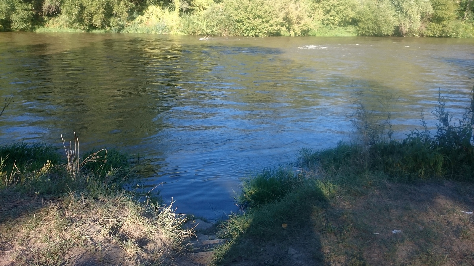
Pebble beaches, access is tricky, you have to find steps dig out in the ground, ideal place for swimming, sunbathing. The Danube river is colder than Ipel or Hron.

Point d'intérêt après 36,5 km
Danubian sunset with a sandy beach.
Continuer avec Bikemap
Utilise, modifie ou télécharge cet itinéraire vélo
Tu veux parcourir Kamenica-Pavlova-Salka-Chlaba 47km (area of Sturovo, Esztergom) ou l’adapter à ton propre voyage ? Voici ce que tu peux faire avec cet itinéraire Bikemap :
Fonctionnalités gratuites
- Enregistre cet itinéraire comme favori ou dans une collection
- Copie et planifie ta propre version de cet itinéraire
- Synchronise ton itinéraire avec Garmin ou Wahoo
Fonctionnalités Premium
Essai gratuit de 3 jours, ou paiement unique. En savoir plus sur Bikemap Premium.
- Navigue sur cet itinéraire sur iOS et Android
- Exporter un fichier GPX / KML de cet itinéraire
- Crée ton impression personnalisée (essaie-la gratuitement)
- Télécharge cet itinéraire pour la navigation hors ligne
Découvre plus de fonctionnalités Premium.
Obtiens Bikemap PremiumDe notre communauté
Štúrovo : Autres itinéraires populaires qui commencent ici
 Štúrovo - Kamenica nad Hronom - Szob
- Distance
- 41,3 km
- Montée
- 114 m
- Descente
- 173 m
- Emplacement
- Štúrovo, Nitra, Slovaquie
 Horváth Géza sor 8, Esztergom - Balassa Bálint utca 37, Esztergom
- Distance
- 9,2 km
- Montée
- 74 m
- Descente
- 88 m
- Emplacement
- Štúrovo, Nitra, Slovaquie
 Štúrovo - Chľaba - Szob 🇸🇰🚴✊🇭🇺
- Distance
- 16,9 km
- Montée
- 91 m
- Descente
- 89 m
- Emplacement
- Štúrovo, Nitra, Slovaquie
 Okruh Burdou (Kovacovske kopce)
- Distance
- 17,3 km
- Montée
- 417 m
- Descente
- 420 m
- Emplacement
- Štúrovo, Nitra, Slovaquie
 Esztergomkör mindennel futás
- Distance
- 20,2 km
- Montée
- 212 m
- Descente
- 212 m
- Emplacement
- Štúrovo, Nitra, Slovaquie
 Štúrovo - Tata - Hurbanovo 🚴👌🌧️
- Distance
- 99,9 km
- Montée
- 156 m
- Descente
- 201 m
- Emplacement
- Štúrovo, Nitra, Slovaquie
 Kamenica-Pavlova-Salka-Chlaba 47km (area of Sturovo, Esztergom)
- Distance
- 46,7 km
- Montée
- 254 m
- Descente
- 252 m
- Emplacement
- Štúrovo, Nitra, Slovaquie
 2019 - Přejezd slovenských hor
- Distance
- 423,6 km
- Montée
- 2 370 m
- Descente
- 2 223 m
- Emplacement
- Štúrovo, Nitra, Slovaquie
Ouvre-la dans l’app


