- 7,3 km
- 33 m
- 31 m
- Murwillumbah, Nouvelle-Galles du Sud, Australie
Around Mount Warning
Un itinéraire vélo au départ de Murwillumbah, Nouvelle-Galles du Sud, Australie.
Vue d'ensemble
À propos du circuit
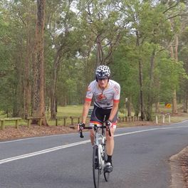
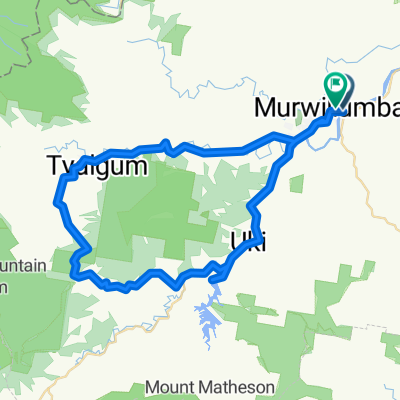
Nous commençons à Uki et voyageons vers l'est puis vers le nord le long de la Kyogle Road en suivant la rivière Tweed. À environ 10 km, nous tournons à gauche sur la Tyalgum Road qui suit la rivière Oxley. Nous faisons une pause à Tyalgum pour le thé du matin. Ensuite, nous descendons vers le sud sur la Brays Creek Road. À 33 km, nous prenons à gauche sur la Byrrill Creek Road. Nous grimpons régulièrement à travers la brousse sur une route non pavée. Au 38ème km, nous commençons à descendre avec des aperçus du Byrrill Creek à droite et du Mont Warning à notre gauche. À 49,8 km, nous tournons à gauche dans la Kyogle Road que nous suivons jusqu'à Uki. Déjeuner à Uki dans le parc ou au café ou au pub.
- -:--
- Durée
- 56,2 km
- Distance
- 808 m
- Montée
- 806 m
- Descente
- ---
- Vit. moyenne
- ---
- Altitude max.
créé il y a 5 ans
Qualité de l’itinéraire
Types de voies et surfaces le long de l’itinéraire
Types de routes
Route
18,5 km
(33 %)
Route tranquille
18,5 km
(33 %)
Indéfini
19,1 km
(34 %)
surfaces
Pavé
47,2 km
(84 %)
Non pavé
9,6 km
(17 %)
Asphalte
43,3 km
(77 %)
Non pavé (non défini)
9,6 km
(17 %)
Continuer avec Bikemap
Utilise, modifie ou télécharge cet itinéraire vélo
Tu veux parcourir Around Mount Warning ou l’adapter à ton propre voyage ? Voici ce que tu peux faire avec cet itinéraire Bikemap :
Fonctionnalités gratuites
- Enregistre cet itinéraire comme favori ou dans une collection
- Copie et planifie ta propre version de cet itinéraire
- Synchronise ton itinéraire avec Garmin ou Wahoo
Fonctionnalités Premium
Essai gratuit de 3 jours, ou paiement unique. En savoir plus sur Bikemap Premium.
- Navigue sur cet itinéraire sur iOS et Android
- Exporter un fichier GPX / KML de cet itinéraire
- Crée ton impression personnalisée (essaie-la gratuitement)
- Télécharge cet itinéraire pour la navigation hors ligne
Découvre plus de fonctionnalités Premium.
Obtiens Bikemap PremiumDe notre communauté
Murwillumbah : Autres itinéraires populaires qui commencent ici
- ITT Battle on the Border
- 18 around the Mount Warning
- 69,2 km
- 402 m
- 405 m
- Murwillumbah, Nouvelle-Galles du Sud, Australie
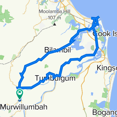
- Murwillumbah to Coolangata beach circuit
- 67,3 km
- 1 132 m
- 1 135 m
- Murwillumbah, Nouvelle-Galles du Sud, Australie
- Day 2 Byron Hinterland
- 44,9 km
- 772 m
- 783 m
- Murwillumbah, Nouvelle-Galles du Sud, Australie
- S3 Murwillumban - Advancetown Lake - Nerang
- 66,1 km
- 700 m
- 680 m
- Murwillumbah, Nouvelle-Galles du Sud, Australie
- Recorded on 13 Oct 2023 at 16:31
- 25,4 km
- 236 m
- 228 m
- Murwillumbah, Nouvelle-Galles du Sud, Australie
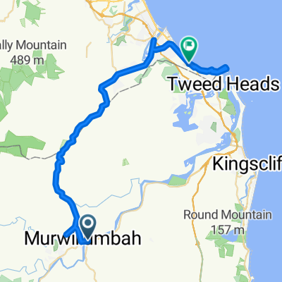
- 19 Murwillumbah YHA to Coolangatta YHA
- 50,6 km
- 443 m
- 450 m
- Murwillumbah, Nouvelle-Galles du Sud, Australie
- 284 Tweed Valley Way, South Murwillumbah to 284 Tweed Valley Way, South Murwillumbah
- 51,3 km
- 386 m
- 384 m
- Murwillumbah, Nouvelle-Galles du Sud, Australie
Ouvre-la dans l’app


