

P-Biel/Twann/Lignieres/Enges/Nods/Orvin/Evilard (60km)
Un itinéraire vélo au départ de Bienne, Canton de Berne, Suisse.
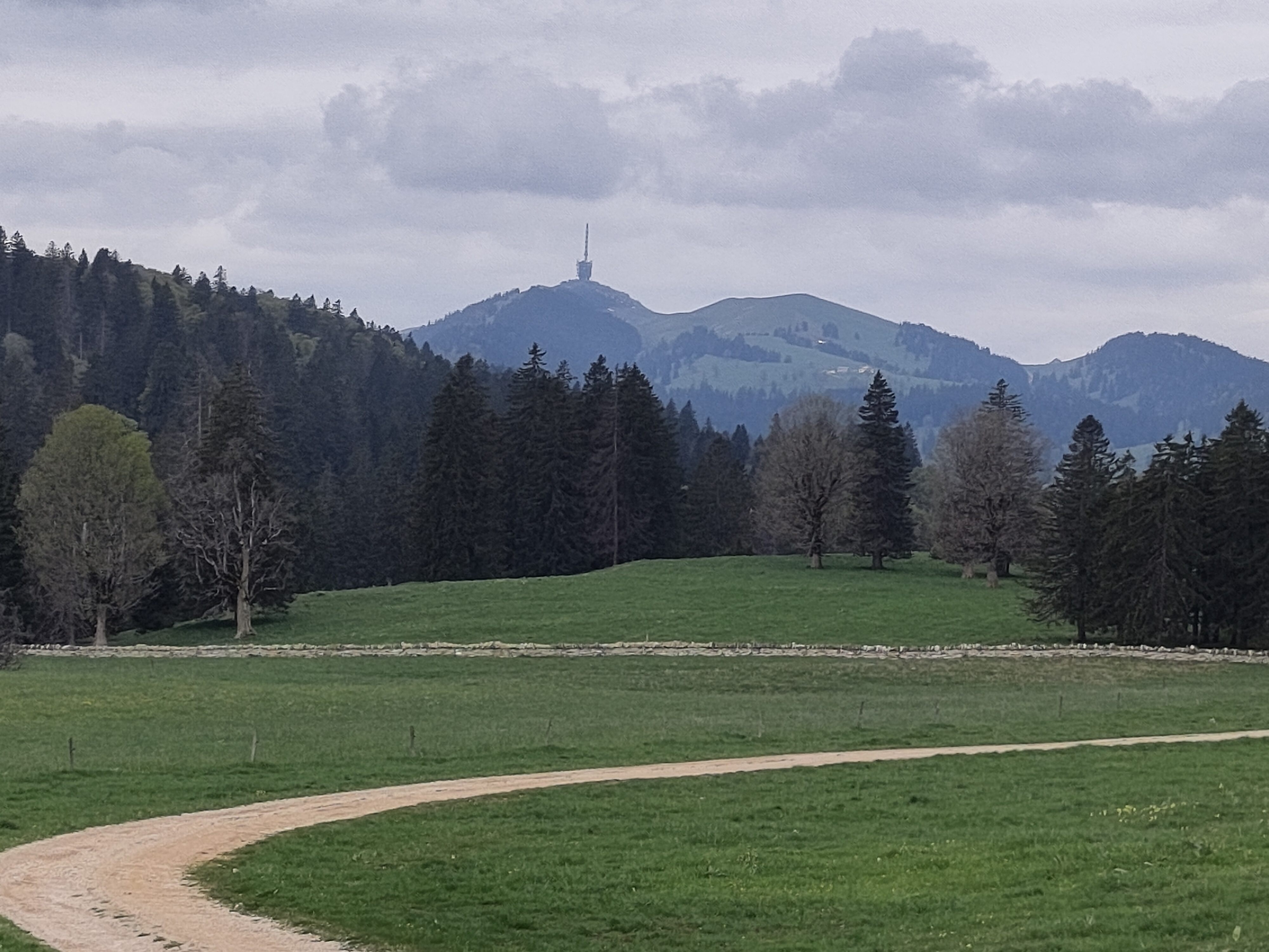
Vue d'ensemble
À propos du circuit
Wonderful route (all paved) in the Chasseral region. Few km to warm-up then at km 7 (Twann) starts steep climb of 4km. Next real climb is at km 27, when you suddenly turn right (direction Enges): this is really nice climb in the forest, 1km long and more than 10% (you need good legs). At the end of forest, turn right again into cantonal road where climb continues at 7-8%. Next climb starts at km 34 (La Combe du Sapin) till km 36. Then some up&down and long downhill to Orvin. Last part is up to Evilard and finally fast downhill back to Biel/Bienne.
- -:--
- Durée
- 60,3 km
- Distance
- 1 065 m
- Montée
- 1 063 m
- Descente
- ---
- Vit. moyenne
- ---
- Altitude max.

Qualité de l’itinéraire
Types de voies et surfaces le long de l’itinéraire
Types de routes
Route
42,2 km
(70 %)
Route tranquille
4,2 km
(7 %)
surfaces
Pavé
27,7 km
(46 %)
Non pavé
0,6 km
(1 %)
Asphalte
23,5 km
(39 %)
Pavé (non défini)
4,2 km
(7 %)
Points forts de l’itinéraire
Points d’intérêt le long de l’itinéraire
Eau potable après 30,3 km
Eau potable après 38,5 km
Eau potable après 53,5 km
Continuer avec Bikemap
Utilise, modifie ou télécharge cet itinéraire vélo
Tu veux parcourir P-Biel/Twann/Lignieres/Enges/Nods/Orvin/Evilard (60km) ou l’adapter à ton propre voyage ? Voici ce que tu peux faire avec cet itinéraire Bikemap :
Fonctionnalités gratuites
- Enregistre cet itinéraire comme favori ou dans une collection
- Copie et planifie ta propre version de cet itinéraire
- Synchronise ton itinéraire avec Garmin ou Wahoo
Fonctionnalités Premium
Essai gratuit de 3 jours, ou paiement unique. En savoir plus sur Bikemap Premium.
- Navigue sur cet itinéraire sur iOS et Android
- Exporter un fichier GPX / KML de cet itinéraire
- Crée ton impression personnalisée (essaie-la gratuitement)
- Télécharge cet itinéraire pour la navigation hors ligne
Découvre plus de fonctionnalités Premium.
Obtiens Bikemap PremiumDe notre communauté
Bienne : Autres itinéraires populaires qui commencent ici
 Biel - Saisselin - Jobert - Biel
- Distance
- 38,5 km
- Montée
- 1 292 m
- Descente
- 1 293 m
- Emplacement
- Bienne, Canton de Berne, Suisse
 P-Biel/Bienne TRACK2 (16km)
- Distance
- 15,5 km
- Montée
- 242 m
- Descente
- 244 m
- Emplacement
- Bienne, Canton de Berne, Suisse
 P-Biel/Bienne (25km)
- Distance
- 24,7 km
- Montée
- 186 m
- Descente
- 187 m
- Emplacement
- Bienne, Canton de Berne, Suisse
 P-Biel/Aetigkofen (73km)
- Distance
- 72,6 km
- Montée
- 881 m
- Descente
- 880 m
- Emplacement
- Bienne, Canton de Berne, Suisse
 P-Biel/Evilard/Orvin/Frinvillier (16km) v3 BEST
- Distance
- 15,8 km
- Montée
- 442 m
- Descente
- 440 m
- Emplacement
- Bienne, Canton de Berne, Suisse
 P-Biel/Evilard/Orvin/Plagne/Grenchen (40km)
- Distance
- 40,5 km
- Montée
- 706 m
- Descente
- 707 m
- Emplacement
- Bienne, Canton de Berne, Suisse
 Theo's
- Distance
- 25,3 km
- Montée
- 838 m
- Descente
- 832 m
- Emplacement
- Bienne, Canton de Berne, Suisse
 P-Biel/Aarberg/Oltigen (84km)
- Distance
- 84,1 km
- Montée
- 740 m
- Descente
- 742 m
- Emplacement
- Bienne, Canton de Berne, Suisse
Ouvre-la dans l’app