
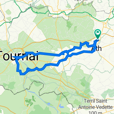
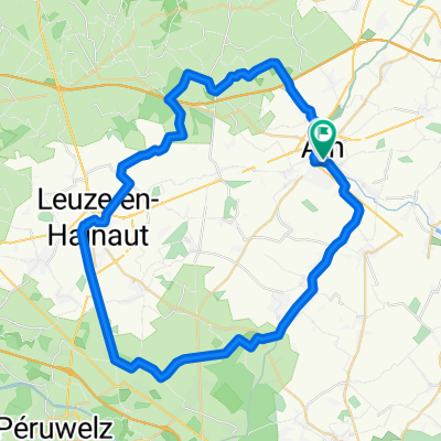
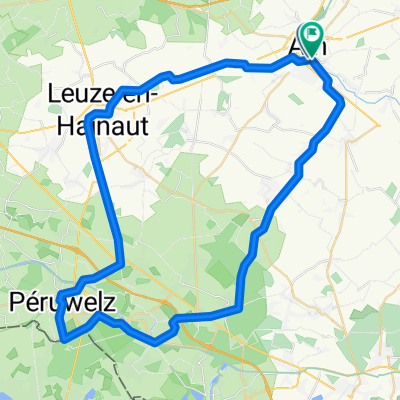
Ath - Waterloo
Un itinéraire vélo au départ de Ath, Wallonie, Belgique.
Vue d'ensemble
À propos du circuit
- -:--
- Durée
- 64,2 km
- Distance
- 367 m
- Montée
- 267 m
- Descente
- ---
- Vit. moyenne
- ---
- Altitude max.

Qualité de l’itinéraire
Types de voies et surfaces le long de l’itinéraire
Types de routes
Route tranquille
27 km
(42 %)
Route
18,6 km
(29 %)
surfaces
Pavé
33,4 km
(52 %)
Non pavé
2,6 km
(4 %)
Asphalte
29,5 km
(46 %)
Béton
3,9 km
(6 %)
Points forts de l’itinéraire
Points d’intérêt le long de l’itinéraire
Eau potable après 0,3 km
3e afslag rechts
Eau potable après 5,9 km
Linksaf
Eau potable après 7,2 km
Linksaf
Eau potable après 7,3 km
Linksaf
Eau potable après 7,7 km
Rechtsaf
Eau potable après 9,2 km
Rechtsaf
Eau potable après 12,3 km
Linksaf
Eau potable après 12,5 km
Rechtsaf
Eau potable après 13,3 km
Linksaf
Eau potable après 13,7 km
REchtsaf
Eau potable après 16,5 km
Rechtsaf
Eau potable après 19,4 km
Rechtsaf
Eau potable après 23,3 km
Linksaf
Eau potable après 23,4 km
Linksaf
Eau potable après 24,7 km
Rechtsaf
Eau potable après 25,6 km
Rechtsaf
Eau potable après 27,2 km
Linksaf
Eau potable après 28,7 km
Linksaf
Eau potable après 31,2 km
REchtsaf
Eau potable après 31,7 km
Linksaf
Eau potable après 32,5 km
1e rechts
Eau potable après 36,2 km
REchtsaf
Eau potable après 40,4 km
2e afslag
Eau potable après 40,5 km
2e afslag
Eau potable après 40,5 km
Over spoor Rechtsaf
Eau potable après 41,5 km
Rechtsaf
Eau potable après 41,5 km
Rechtsaf
Eau potable après 41,5 km
Linksaf Kanaal over
Eau potable après 41,8 km
Linksaf Direct rechts
Eau potable après 42,9 km
Rechtsaf
Eau potable après 42,9 km
Linksaf
Eau potable après 42,9 km
Linksaf
Eau potable après 50,6 km
LInksaf
Eau potable après 50,8 km
LInksaf Over Brusselse Ring
Eau potable après 50,8 km
Rechtsaf
Eau potable après 51 km
Rechtsaf
Eau potable après 51 km
Linksaf
Eau potable après 54,4 km
Linksaf
Eau potable après 55,2 km
Rechtsaf Oude spoorweg
Point d'intérêt après 64,2 km
Rechtsaf
Eau potable après 64,2 km
Rechtsaf
Point d'intérêt après 64,2 km
Rechtsaf
Eau potable après 64,2 km
2e afslag rechts
Point d'intérêt après 64,2 km
Linksaf
Eau potable après 64,2 km
LInksaf
Eau potable après 64,2 km
Continuer avec Bikemap
Utilise, modifie ou télécharge cet itinéraire vélo
Tu veux parcourir Ath - Waterloo ou l’adapter à ton propre voyage ? Voici ce que tu peux faire avec cet itinéraire Bikemap :
Fonctionnalités gratuites
- Enregistre cet itinéraire comme favori ou dans une collection
- Copie et planifie ta propre version de cet itinéraire
- Synchronise ton itinéraire avec Garmin ou Wahoo
Fonctionnalités Premium
Essai gratuit de 3 jours, ou paiement unique. En savoir plus sur Bikemap Premium.
- Navigue sur cet itinéraire sur iOS et Android
- Exporter un fichier GPX / KML de cet itinéraire
- Crée ton impression personnalisée (essaie-la gratuitement)
- Télécharge cet itinéraire pour la navigation hors ligne
Découvre plus de fonctionnalités Premium.
Obtiens Bikemap PremiumDe notre communauté
Ath : Autres itinéraires populaires qui commencent ici
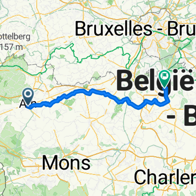
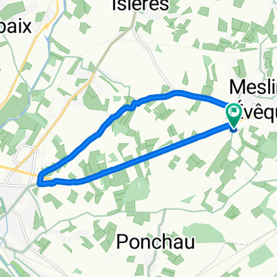
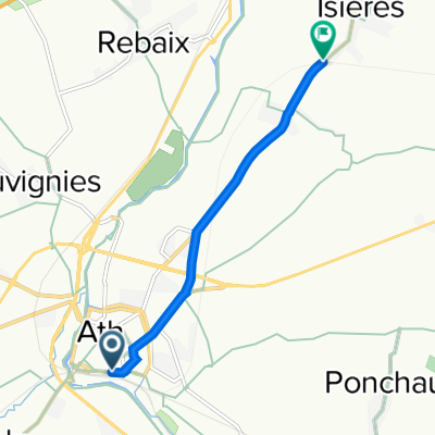
 Place de Rebaix 4, Ath to Place de Rebaix 4, Ath
- Distance
- 85,7 km
- Montée
- 506 m
- Descente
- 554 m
- Emplacement
- Ath, Wallonie, Belgique
 Itinéraire modéré en Ath
- Distance
- 14,2 km
- Montée
- 7 m
- Descente
- 15 m
- Emplacement
- Ath, Wallonie, Belgique
 Ath - Waterloo
- Distance
- 64,2 km
- Montée
- 367 m
- Descente
- 267 m
- Emplacement
- Ath, Wallonie, Belgique
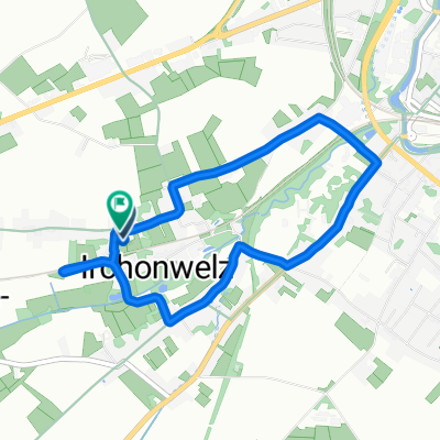
 De Rue Saint-Jacques 7, Ath à Rue Saint-Jacques 7, Ath
- Distance
- 8,5 km
- Montée
- 157 m
- Descente
- 157 m
- Emplacement
- Ath, Wallonie, Belgique
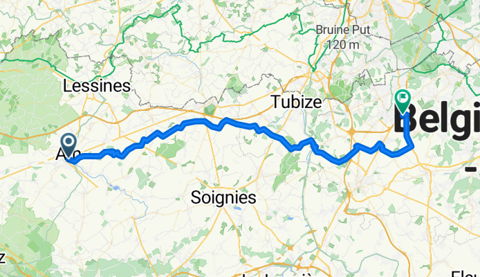
 beloeil
- Distance
- 51,5 km
- Montée
- 178 m
- Descente
- 178 m
- Emplacement
- Ath, Wallonie, Belgique
 De Ath SNCB à Route de Lessines 157, Ath
- Distance
- 4,4 km
- Montée
- 10 m
- Descente
- 11 m
- Emplacement
- Ath, Wallonie, Belgique
 De Vieux Chemin de Tournai 4, Ath à Vieux Chemin de Tournai 2, Ath
- Distance
- 4,8 km
- Montée
- 27 m
- Descente
- 37 m
- Emplacement
- Ath, Wallonie, Belgique
 péruwelz
- Distance
- 57,7 km
- Montée
- 163 m
- Descente
- 161 m
- Emplacement
- Ath, Wallonie, Belgique
Ouvre-la dans l’app