North Downs Nobbler
- 27,3 km
- 475 m
- 469 m
- Cranleigh, Angleterre, Royaume-Uni
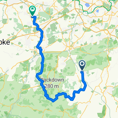
C'est définitivement une route réservée aux VTT qui passe par Pitch Hill, Holmbury Hill (deux fois) et Leith Hill.
Commencez brièvement vers le sud en sortant de Peaslake le long de Walking Bottom et tournez sur Pitch Hill. Après avoir profité de Pitch Hill, traversez la route Ewhurst et montez (probablement en poussant les vélos) vers Holmbury Hill en direction du réservoir. Continuez à vous diriger vers le sud-est jusqu'à atteindre le sommet d'Holmbury Hill. Prenez les Yogurt Pots (je pense qu'ils ont changé l'entrée depuis que j'ai fait cette course) puis la Telegraph Road jusqu'à Holmbury Saint Mary. À Holmbury Saint Mary, prenez les routes jusqu’à atteindre le chemin équestre qui part de Pasture Wood Road. Montez par le chemin équestre jusqu'à ce que vous atteigniez la route, sur laquelle vous tournez à gauche et la suivez jusqu'au deuxième parking à votre gauche. Maintenant, vous montez au vrai Leith Hill, suivez le chemin cyclable jusqu'à la tour de Leith Hill puis descendez de l'autre côté (attention, la descente juste après la tour de Leith Hill peut être un peu difficile). Suivez le sentier jusqu'au terrain de cricket, puis tournez à gauche à côté de la clôture après le terrain de cricket, ce qui vous amène aux trous de bombe, Deliverance (si vous êtes fou) et finalement à l'entrée du Regurgitator. À la fin du Regurgitator, tournez à gauche à la montée vers Summer Lightning et suivez cette route jusqu'à la Lookout Tower. Après la tour d'observation, descendez vers Whiteberry Road, qui fait partie du Greensand Way, et prenez les routes et sentiers jusqu'à Friday Street. À mi-chemin de la colline depuis Friday Street, le chemin équestre tourne à gauche dans une ravine raide et après une courte distance sur la route, vous pouvez attaquer la descente sur le chemin équestre depuis Pasture Wood Road. Ensuite, c'est retour vers Holmbury Hill jusqu'au réservoir puis descente par Resevoir Dogs/Barry Knows Best, ce qui vous ramène presque à Peaslake.
C'est une journée assez technique et très vallonnée. Je prévoirais quatre à cinq heures à moins que vous ne soyez très en forme, très rapide et que vous preniez des côtes techniques au petit déjeuner. Pour nous, simples mortels, c'est une longue et dure journée mais très gratifiante.
The entrance to Summer Lightning MTB trail.
Lookout Tower at the end of Summer Lightning MTB trail.
Essai gratuit de 3 jours, ou paiement unique. En savoir plus sur Bikemap Premium.
Découvre plus de fonctionnalités Premium.
Obtiens Bikemap PremiumOuvre-la dans l’app