Tour in die Vergangenheit von Micha und Stefan
- 70,2 km
- 875 m
- 834 m
- Grafengehaig, Baviera, Germania

Trova il percorso in bici giusto per te a Grafengehaig, dove abbiamo 20 percorsi ciclabili da esplorare.
Distanza registrata
Percorsi ciclabili
Popolazione
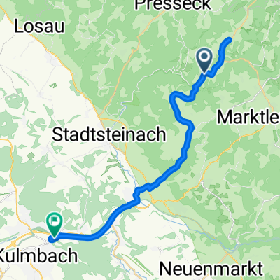
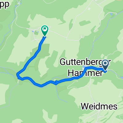
Percorso ciclabile a Grafengehaig, Baviera, Germania
Percorso ciclabile a Grafengehaig, Baviera, Germania
Percorso ciclabile a Grafengehaig, Baviera, Germania