


Пшк 2012-08-18 Микулич-Космач 40км
- 39,8 km
- 1.067 m
- 1.040 m
- Tatariv, oblast' di Ivano-Frankivs'k, Ucraina

Scopri una mappa con 76 percorsi e sentieri ciclabili vicino a Tatariv, creati dalla nostra community.
Ritratto della regione
Trova il percorso in bici giusto per te a Tatariv, dove abbiamo 76 percorsi ciclabili da esplorare. La maggior parte delle persone va in bici qui nei mesi di Giugno e Agosto.
3.419 km
Distanza registrata
76
Percorsi ciclabili
1508
Popolazione
Dalla nostra comunità
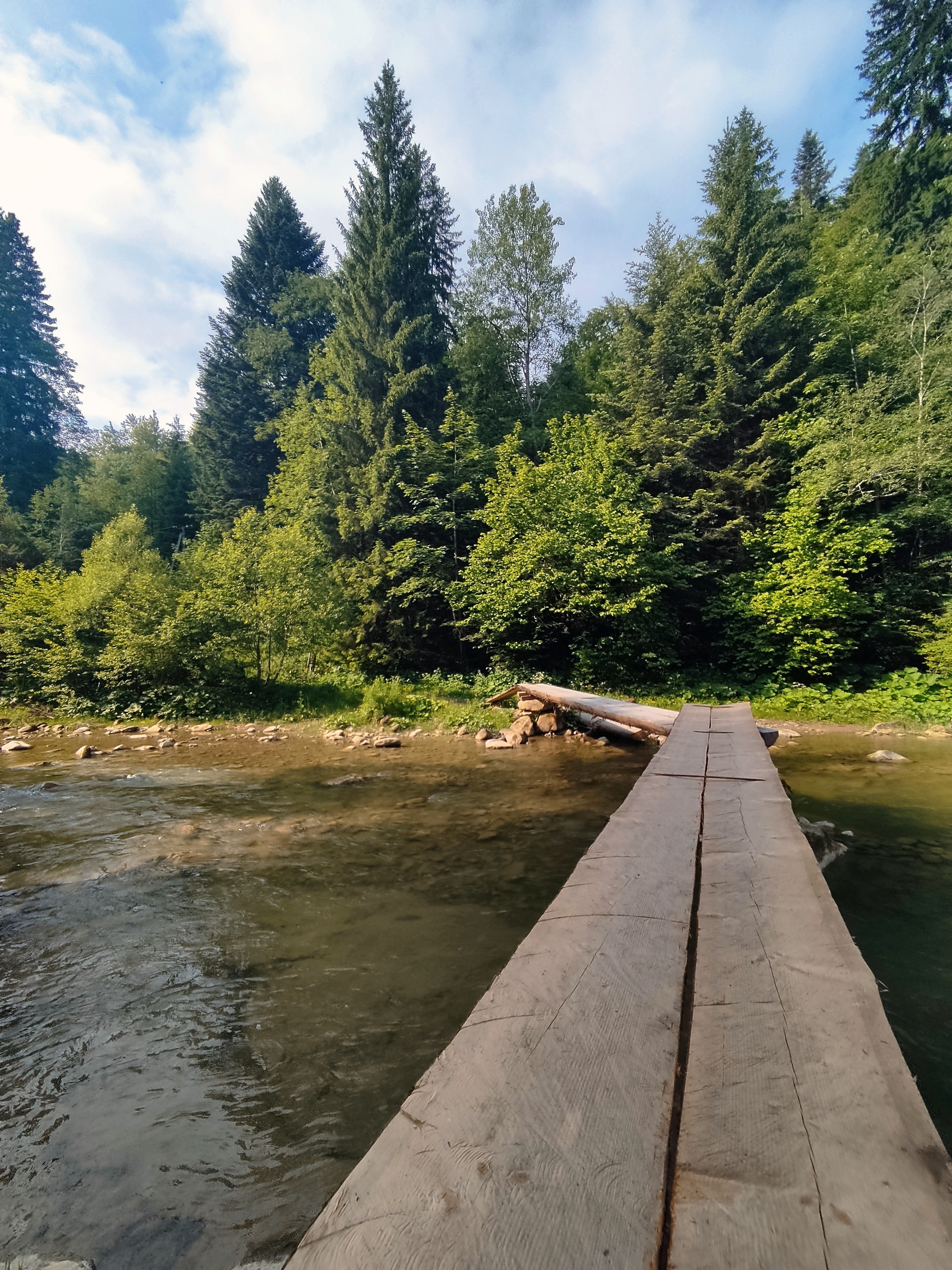
Percorso ciclabile a Tatariv, oblast' di Ivano-Frankivs'k, Ucraina
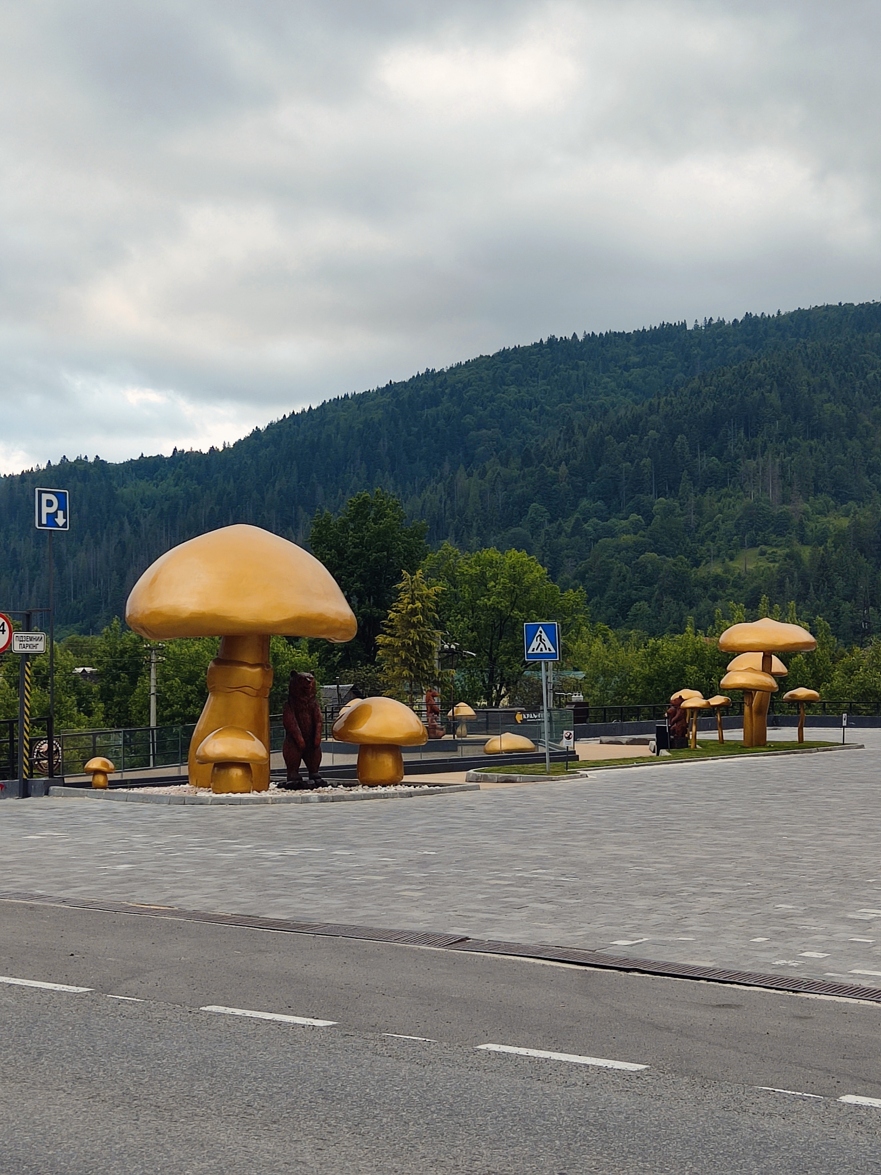
Percorso ciclabile a Tatariv, oblast' di Ivano-Frankivs'k, Ucraina
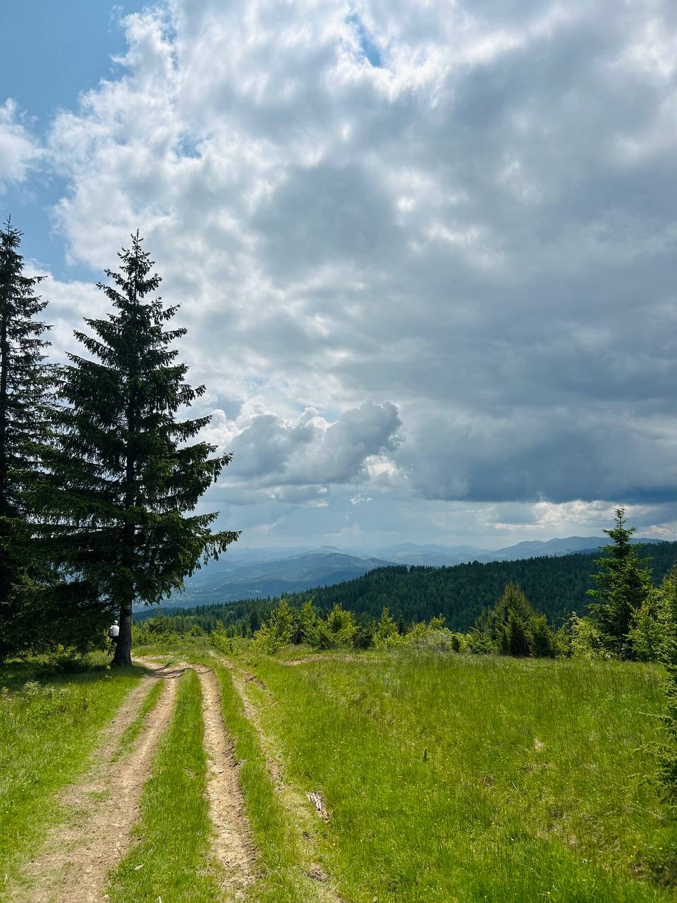
Percorso ciclabile a Tatariv, oblast' di Ivano-Frankivs'k, Ucraina


Percorso ciclabile a Tatariv, oblast' di Ivano-Frankivs'k, Ucraina


