From Cranleigh to Worthing
- 54,8 km
- 158 m
- 214 m
- Cranleigh, Anglia, Zjednoczone Królestwo Wielkiej Brytanii

Znajdź odpowiednią trasę rowerową dla siebie w Cranleigh – mamy tam 131 tras do odkrycia. Większość osób wybiera się tutaj na rower w miesiącach Kwiecień i Czerwiec.
Zarejestrowany dystans
Trasy rowerowe
Populacja
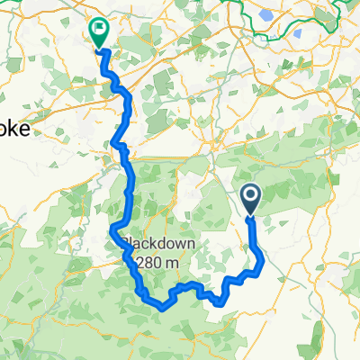
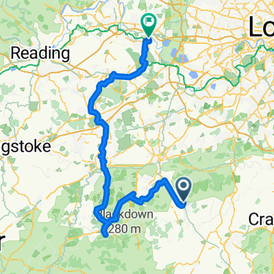
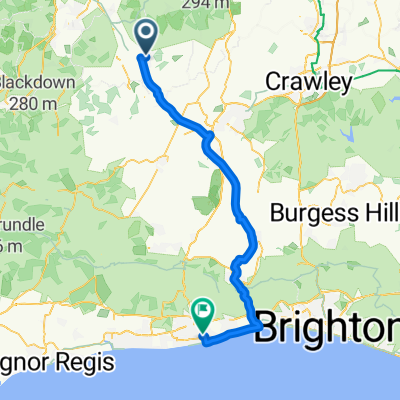
Trasa rowerowa w Cranleigh, Anglia, Zjednoczone Królestwo Wielkiej Brytanii
Trasa rowerowa w Cranleigh, Anglia, Zjednoczone Królestwo Wielkiej Brytanii


Trasa rowerowa w Cranleigh, Anglia, Zjednoczone Królestwo Wielkiej Brytanii
Trasa rowerowa w Cranleigh, Anglia, Zjednoczone Królestwo Wielkiej Brytanii