Saint-Wandrille-Rançon na rowerze
Odkrywaj mapę z 9 trasami rowerowymi i szlakami w pobliżu Saint-Wandrille-Rançon, stworzonymi przez naszą społeczność.
Portret regionu
Poznaj Saint-Wandrille-Rançon
Znajdź odpowiednią trasę rowerową dla siebie w Saint-Wandrille-Rançon – mamy tam 9 tras do odkrycia.
510 km
Zarejestrowany dystans
9
Trasy rowerowe
1194
Populacja
Wspólnota
Najaktywniejsi użytkownicy w Saint-Wandrille-Rançon
Od naszej społeczności
Najlepsze trasy rowerowe w Saint-Wandrille-Rançon i okolicach
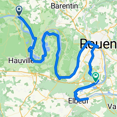
Etappe 5: St.Wandrille Rancon -- La Bouille über Jumieges (53km)
Trasa rowerowa w Saint-Wandrille-Rançon, Normandia, Francja
- 51,3 km
- Dystans
- 218 m
- Przewyższenia
- 231 m
- Spadek
De Route de Rançon 4, Rives-en-Seine à Rue de la ville 4, Honfleur
Trasa rowerowa w Saint-Wandrille-Rançon, Normandia, Francja
- 78,5 km
- Dystans
- 322 m
- Przewyższenia
- 322 m
- Spadek
2023-Benelux Stage 0102a
Trasa rowerowa w Saint-Wandrille-Rançon, Normandia, Francja
- 14,9 km
- Dystans
- 127 m
- Przewyższenia
- 159 m
- Spadek
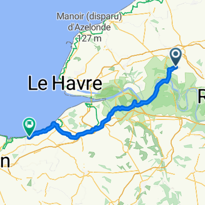
Saint-Wandrille-Rançon - Ouistreham
Trasa rowerowa w Saint-Wandrille-Rançon, Normandia, Francja
- 126,1 km
- Dystans
- 1119 m
- Przewyższenia
- 1156 m
- Spadek
Odkryj więcej tras
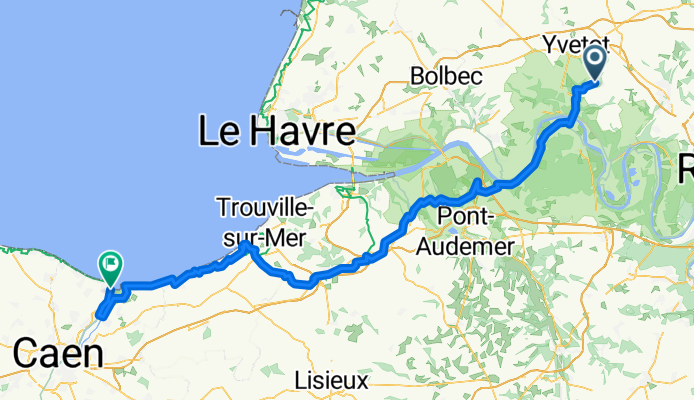
 Saint-Wandrille-Rançon - Cabourg
- Dystans
- 103,8 km
- Przewyższenia
- 1093 m
- Spadek
- 1130 m
- Lokalizacja
- Saint-Wandrille-Rançon, Normandia, Francja
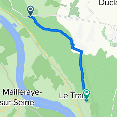
 Route forestière vers le Trait
- Dystans
- 5,8 km
- Przewyższenia
- 50 m
- Spadek
- 47 m
- Lokalizacja
- Saint-Wandrille-Rançon, Normandia, Francja
 38 Rue de Caillouville, Rives-en-Seine to 51 Rue Guillaume Le Conquérant, Jumièges
- Dystans
- 17,2 km
- Przewyższenia
- 236 m
- Spadek
- 250 m
- Lokalizacja
- Saint-Wandrille-Rançon, Normandia, Francja
 Véloroute La Seine à Vélo (Tronçon Seine Maritime)
- Dystans
- 111,5 km
- Przewyższenia
- 422 m
- Spadek
- 411 m
- Lokalizacja
- Saint-Wandrille-Rançon, Normandia, Francja
 Essai cavée
- Dystans
- 1,2 km
- Przewyższenia
- 84 m
- Spadek
- 0 m
- Lokalizacja
- Saint-Wandrille-Rançon, Normandia, Francja


