
Quillebeuf-sur-Seine na rowerze
Odkrywaj mapę z 19 trasami rowerowymi i szlakami w pobliżu Quillebeuf-sur-Seine, stworzonymi przez naszą społeczność.
Portret regionu
Poznaj Quillebeuf-sur-Seine
Znajdź odpowiednią trasę rowerową dla siebie w Quillebeuf-sur-Seine – mamy tam 19 tras do odkrycia.
1123 km
Zarejestrowany dystans
19
Trasy rowerowe
1059
Populacja
Wspólnota
Najaktywniejsi użytkownicy w Quillebeuf-sur-Seine


Od naszej społeczności
Najlepsze trasy rowerowe w Quillebeuf-sur-Seine i okolicach

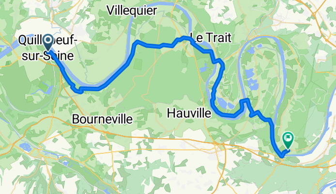
par le bac
Trasa rowerowa w Quillebeuf-sur-Seine, Normandia, Francja
- 42,2 km
- Dystans
- 225 m
- Przewyższenia
- 201 m
- Spadek

Lillebonne (76,2 km)
Trasa rowerowa w Quillebeuf-sur-Seine, Normandia, Francja
- 75,4 km
- Dystans
- 467 m
- Przewyższenia
- 465 m
- Spadek

Ferry crossing to Le Bec
Trasa rowerowa w Quillebeuf-sur-Seine, Normandia, Francja
- 36,5 km
- Dystans
- 230 m
- Przewyższenia
- 191 m
- Spadek
Rue St-Seurin, Quillebeuf-sur-Seine to Rue de Bas, Sahurs
Trasa rowerowa w Quillebeuf-sur-Seine, Normandia, Francja
- 56,9 km
- Dystans
- 558 m
- Przewyższenia
- 569 m
- Spadek
Odkryj więcej tras
 quillebeuf a fecamp du 1 au 2
- Dystans
- 44,6 km
- Przewyższenia
- 296 m
- Spadek
- 276 m
- Lokalizacja
- Quillebeuf-sur-Seine, Normandia, Francja
 D3. Quillebeuf - Le Havre
- Dystans
- 72,2 km
- Przewyższenia
- 294 m
- Spadek
- 293 m
- Lokalizacja
- Quillebeuf-sur-Seine, Normandia, Francja
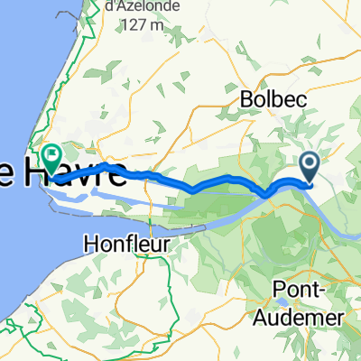 Quillebeuf-sur-Seine - Le Havre
- Dystans
- 35,3 km
- Przewyższenia
- 92 m
- Spadek
- 88 m
- Lokalizacja
- Quillebeuf-sur-Seine, Normandia, Francja
 jeudi 26/05 AM
- Dystans
- 41,3 km
- Przewyższenia
- 360 m
- Spadek
- 347 m
- Lokalizacja
- Quillebeuf-sur-Seine, Normandia, Francja
 48 Rue du Moulin, Quillebeuf-sur-Seine à 1 Route de Pont-Audemer, Saint-Aubin-sur-Quillebeuf
- Dystans
- 28,6 km
- Przewyższenia
- 46 m
- Spadek
- 48 m
- Lokalizacja
- Quillebeuf-sur-Seine, Normandia, Francja
 Le Marais Vernier - Quillebeuf
- Dystans
- 35,1 km
- Przewyższenia
- 255 m
- Spadek
- 256 m
- Lokalizacja
- Quillebeuf-sur-Seine, Normandia, Francja
 Itinéraire facile en
- Dystans
- 74,3 km
- Przewyższenia
- 741 m
- Spadek
- 742 m
- Lokalizacja
- Quillebeuf-sur-Seine, Normandia, Francja
 Seine - Mt St Michel
- Dystans
- 265 km
- Przewyższenia
- 879 m
- Spadek
- 880 m
- Lokalizacja
- Quillebeuf-sur-Seine, Normandia, Francja