2–4 Rue Artus de Fricourt, Haussez to 2–4 Rue Artus de Fricourt, Haussez
- 0,3 km
- 146 m
- 151 m
- Gaillefontaine, Normandia, Francja

Odkrywaj mapę z 9 trasami rowerowymi i szlakami w pobliżu Gaillefontaine, stworzonymi przez naszą społeczność.
Portret regionu
Znajdź odpowiednią trasę rowerową dla siebie w Gaillefontaine – mamy tam 9 tras do odkrycia.
440 km
Zarejestrowany dystans
9
Trasy rowerowe
1496
Populacja
Wspólnota
Starannie wybrane trasy
Od naszej społeczności
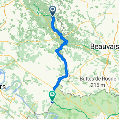
Trasa rowerowa w Gaillefontaine, Normandia, Francja
Trasa rowerowa w Gaillefontaine, Normandia, Francja
Trasa rowerowa w Gaillefontaine, Normandia, Francja
Trasa rowerowa w Gaillefontaine, Normandia, Francja