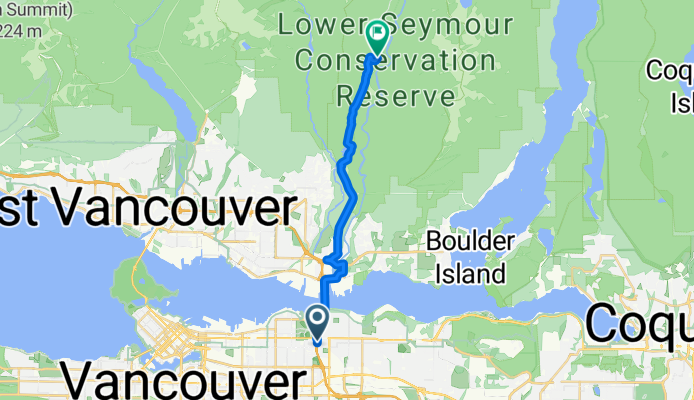
- 9,6 km
- 294 m
- 291 m
- North Vancouver, Kolumbia Brytyjska, Kanada

North Vancouver na rowerze
Odkrywaj mapę z 961 trasami rowerowymi i szlakami w pobliżu North Vancouver, stworzonymi przez naszą społeczność.
Portret regionu
Poznaj North Vancouver
Znajdź odpowiednią trasę rowerową dla siebie w North Vancouver – mamy tam 961 tras do odkrycia. Większość osób wybiera się tutaj na rower w miesiącach Lipiec i Sierpień.
46 083 km
Zarejestrowany dystans
961
Trasy rowerowe
48 000
Populacja
Wspólnota
Najaktywniejsi użytkownicy w North Vancouver
Starannie wybrane trasy
Odkryj North Vancouver dzięki tym kolekcjom
- Wycieczka
Od naszej społeczności
Najlepsze trasy rowerowe w North Vancouver i okolicach
Gravel Gremlins - Location #1
Trasa rowerowa w North Vancouver, Kolumbia Brytyjska, Kanada
- 16,5 km
- Dystans
- 413 m
- Przewyższenia
- 225 m
- Spadek
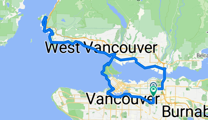
Horseshoe Bay Loop
Trasa rowerowa w North Vancouver, Kolumbia Brytyjska, Kanada
- 68,3 km
- Dystans
- 945 m
- Przewyższenia
- 941 m
- Spadek
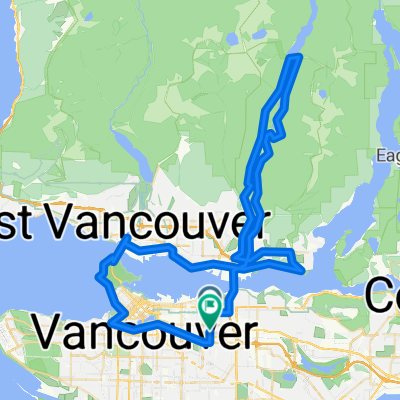
NV to Ridge
Trasa rowerowa w North Vancouver, Kolumbia Brytyjska, Kanada
- 65,4 km
- Dystans
- 613 m
- Przewyższenia
- 579 m
- Spadek
Esplanade Ave, North Vancouver to McClure Dr, Maple Ridge
Trasa rowerowa w North Vancouver, Kolumbia Brytyjska, Kanada
- 61,1 km
- Dystans
- 614 m
- Przewyższenia
- 604 m
- Spadek
Odkryj więcej tras
- Hike Rice Lake Lynn Loop 9.5 km
- 161 E Sixth St, North Vancouver to 595 Keith Rd, West Vancouver
- 6,9 km
- 60 m
- 92 m
- North Vancouver, Kolumbia Brytyjska, Kanada
- CVG - BMUT - TCT
- 32,4 km
- 223 m
- 226 m
- North Vancouver, Kolumbia Brytyjska, Kanada
- 80k SDF Loop
- 80,7 km
- 1359 m
- 1357 m
- North Vancouver, Kolumbia Brytyjska, Kanada
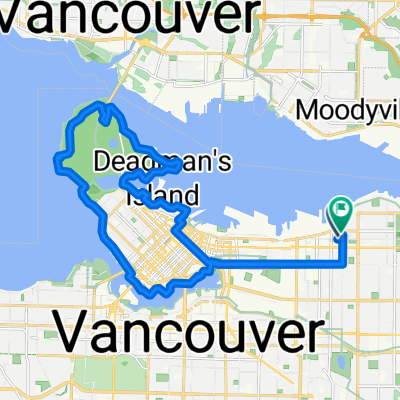
- East Van to Stanley Park Loop
- 26,9 km
- 480 m
- 480 m
- North Vancouver, Kolumbia Brytyjska, Kanada
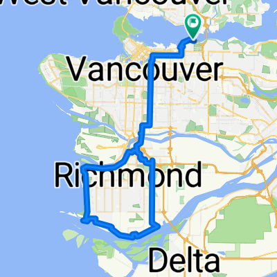
- Richmond loop (67km)
- 67,6 km
- 463 m
- 467 m
- North Vancouver, Kolumbia Brytyjska, Kanada
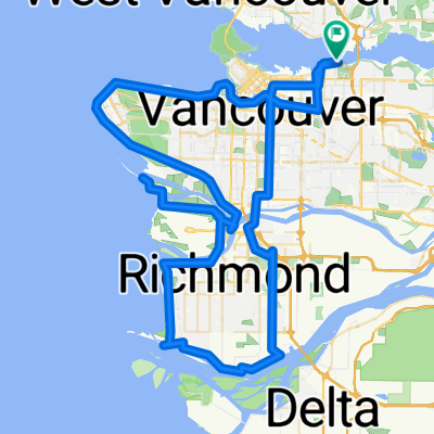
- Vancouver 100km
- 102,4 km
- 722 m
- 718 m
- North Vancouver, Kolumbia Brytyjska, Kanada
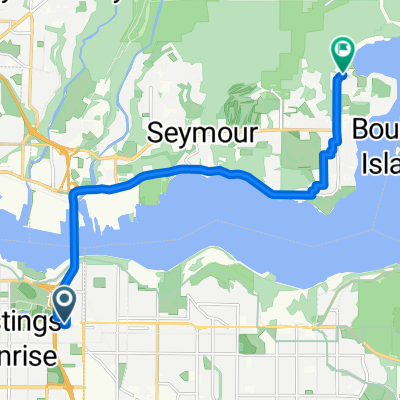
- E Hastings St, Vancouver to Gallant Ave, North Vancouver
- 11,4 km
- 160 m
- 182 m
- North Vancouver, Kolumbia Brytyjska, Kanada
Trasy z North Vancouver
Jednodniowa wycieczka rowerowa od
Z North Vancouver do West Vancouver
Rowerowa od
Z North Vancouver do Burnaby
Rowerowa od
Z North Vancouver do West End
Trasy do North Vancouver
Rowerowa od
Z Vancouver do North Vancouver
Rowerowa od
Z Burnaby do North Vancouver

