
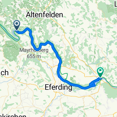
Jednodniowa wycieczka rowerowa z Pfarrkirchen im Mühlkreis do Ottensheim
Dostosuj własną trasę na podstawie naszego szablonu lub zobacz, jak nasza społeczność najchętniej jeździ z Pfarrkirchen im Mühlkreis do Ottensheim.
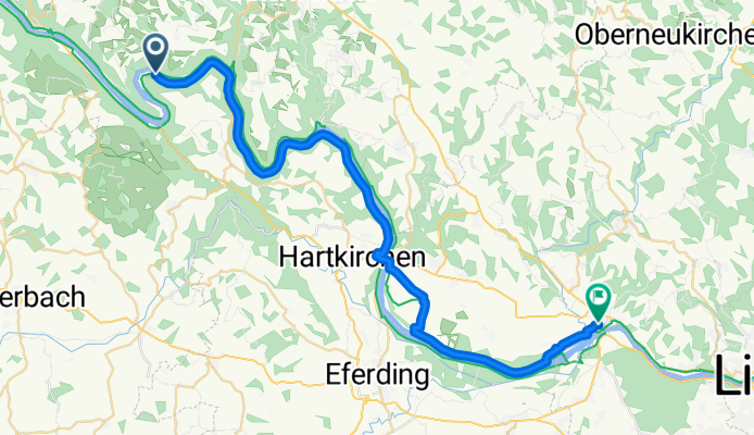
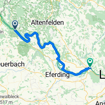
Szablon trasy
Z Pfarrkirchen im Mühlkreis do Ottensheim
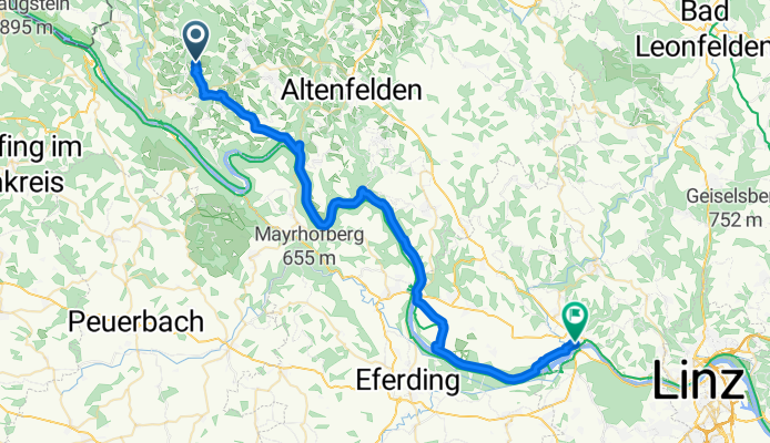
- 2 h 57 min
- Czas
- 47,5 km
- Dystans
- 405 m
- Przewyższenia
- 946 m
- Spadek
- 16,1 km/h
- Śr. Prędkość
- 818 m
- Maks. wysokość
This cycling route takes you from the charming hilltop village of Pfarrkirchen im Mühlkreis down to vibrant Ottensheim on the Danube. Starting out, you’re up in the rolling Mühlviertel countryside, surrounded by forests and fields—don’t miss the stunning views from Pfarrkirchen, which sits over 800 meters up!
The ride is about 47.5 km, mostly along quiet roads and dedicated cycleways, making for a pleasant and relaxed pedal. You’ll enjoy a mostly downhill journey (with over 900 meters of descent!), so it’s a great route if you’re in the mood for more cruising than climbing. Along the way, soak in classic Upper Austrian scenery—think forests, winding lanes, and picturesque farmhouses.
As you approach Ottensheim, you’ll get glimpses of the mighty Danube before rolling into town. Ottensheim is well-known for its cozy riverside cafés and historic main square—a perfect spot to end your ride and recharge.
Grab your helmet, pack a snack, and enjoy your adventure from Mühlviertel heights down to the Danube!
Wspólnota
Najlepsi użytkownicy w tym regionie


Od naszej społeczności
Najlepsze trasy rowerowe z Pfarrkirchen im Mühlkreis do Ottensheim

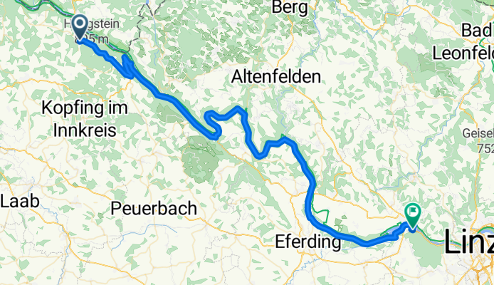
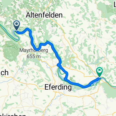
Niederranna-Ottensheim (Donauradweg)
Trasa rowerowa w Pfarrkirchen im Mühlkreis, Górna Austria, Austria
- 56,1 km
- Dystans
- 243 m
- Przewyższenia
- 250 m
- Spadek

Engelhartszell - Wilhering 1
Trasa rowerowa w Pfarrkirchen im Mühlkreis, Górna Austria, Austria
- 60,1 km
- Dystans
- 337 m
- Przewyższenia
- 349 m
- Spadek

Viechtenstein - Wilhering 1
Trasa rowerowa w Pfarrkirchen im Mühlkreis, Górna Austria, Austria
- 72,2 km
- Dystans
- 274 m
- Przewyższenia
- 588 m
- Spadek

Inzell to Ottensheim, Day 2
Trasa rowerowa w Pfarrkirchen im Mühlkreis, Górna Austria, Austria
- 39,1 km
- Dystans
- 307 m
- Przewyższenia
- 328 m
- Spadek
Viechtenstein - Wilhering 3
Trasa rowerowa w Pfarrkirchen im Mühlkreis, Górna Austria, Austria
- 71,8 km
- Dystans
- 310 m
- Przewyższenia
- 624 m
- Spadek
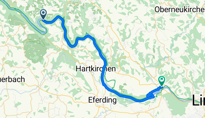
Engelhartszell-Ottensheim
Trasa rowerowa w Pfarrkirchen im Mühlkreis, Górna Austria, Austria
- 64,9 km
- Dystans
- 655 m
- Przewyższenia
- 674 m
- Spadek
Inzell nach Ottensheim
Trasa rowerowa w Pfarrkirchen im Mühlkreis, Górna Austria, Austria
- 47,9 km
- Dystans
- 162 m
- Przewyższenia
- 227 m
- Spadek

Inzell nach Ottensheim
Trasa rowerowa w Pfarrkirchen im Mühlkreis, Górna Austria, Austria
- 40,1 km
- Dystans
- 636 m
- Przewyższenia
- 665 m
- Spadek
Inzell nach Ottensheim
Trasa rowerowa w Pfarrkirchen im Mühlkreis, Górna Austria, Austria
- 39,7 km
- Dystans
- 656 m
- Przewyższenia
- 665 m
- Spadek
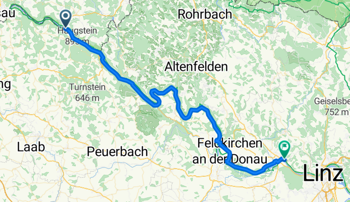
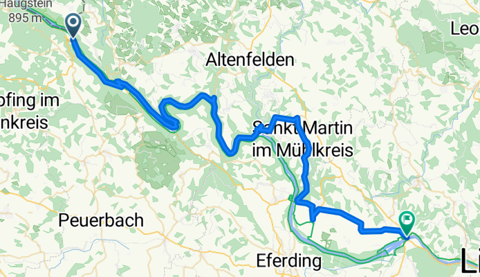
Pfarrkirchen - Ottensheim
Trasa rowerowa w Pfarrkirchen im Mühlkreis, Górna Austria, Austria
- 69 km
- Dystans
- 1257 m
- Przewyższenia
- 1340 m
- Spadek
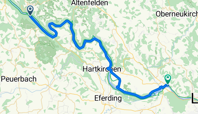
Pfarrkirchen - Ottensheim
Trasa rowerowa w Pfarrkirchen im Mühlkreis, Górna Austria, Austria
- 51,9 km
- Dystans
- 849 m
- Przewyższenia
- 884 m
- Spadek

Engelhartszell - Wilhering 2
Trasa rowerowa w Pfarrkirchen im Mühlkreis, Górna Austria, Austria
- 63,6 km
- Dystans
- 356 m
- Przewyższenia
- 368 m
- Spadek
Odkryj więcej tras
 Viechtenstein - Wilhering 3
- Dystans
- 71,8 km
- Przewyższenia
- 310 m
- Spadek
- 624 m
- Lokalizacja
- Pfarrkirchen im Mühlkreis, Górna Austria, Austria
 Engelhartszell-Ottensheim
- Dystans
- 64,9 km
- Przewyższenia
- 655 m
- Spadek
- 674 m
- Lokalizacja
- Pfarrkirchen im Mühlkreis, Górna Austria, Austria
 Inzell nach Ottensheim
- Dystans
- 47,9 km
- Przewyższenia
- 162 m
- Spadek
- 227 m
- Lokalizacja
- Pfarrkirchen im Mühlkreis, Górna Austria, Austria
 Inzell nach Ottensheim
- Dystans
- 40,1 km
- Przewyższenia
- 636 m
- Spadek
- 665 m
- Lokalizacja
- Pfarrkirchen im Mühlkreis, Górna Austria, Austria
 Inzell nach Ottensheim
- Dystans
- 39,7 km
- Przewyższenia
- 656 m
- Spadek
- 665 m
- Lokalizacja
- Pfarrkirchen im Mühlkreis, Górna Austria, Austria
 Pfarrkirchen - Ottensheim
- Dystans
- 69 km
- Przewyższenia
- 1257 m
- Spadek
- 1340 m
- Lokalizacja
- Pfarrkirchen im Mühlkreis, Górna Austria, Austria
 Pfarrkirchen - Ottensheim
- Dystans
- 51,9 km
- Przewyższenia
- 849 m
- Spadek
- 884 m
- Lokalizacja
- Pfarrkirchen im Mühlkreis, Górna Austria, Austria
 Engelhartszell - Wilhering 2
- Dystans
- 63,6 km
- Przewyższenia
- 356 m
- Spadek
- 368 m
- Lokalizacja
- Pfarrkirchen im Mühlkreis, Górna Austria, Austria
Trasy z Pfarrkirchen im Mühlkreis
Jednodniowa wycieczka rowerowa od
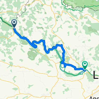
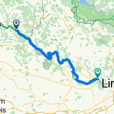
Z Pfarrkirchen im Mühlkreis do Linz
Jednodniowa wycieczka rowerowa od
Z Pfarrkirchen im Mühlkreis do Schärding
Szybka przejażdżka rowerowa od
Z Pfarrkirchen im Mühlkreis do Atzesberg