Szablon trasy
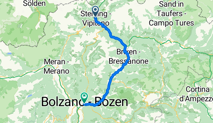
Z Vipiteno do Bolzano
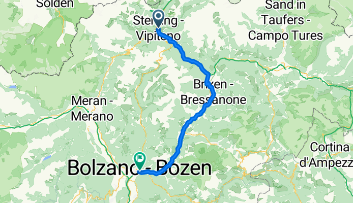
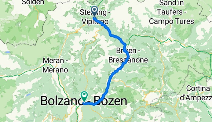
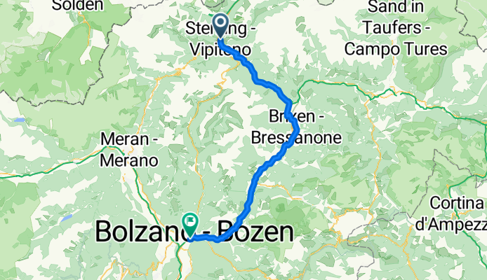
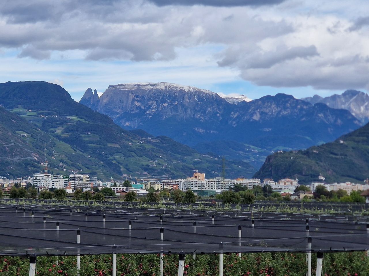
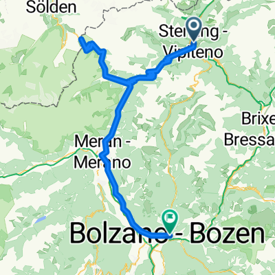
Hop on your bike for a gorgeous ride from Sterzing (Vipiteno) to Bolzano, weaving through some of the most stunning scenery South Tyrol has to offer! Starting from Sterzing, a charming medieval town at the foot of the Alps, you’ll glide mostly downhill for over 78 km—get ready for more descent than ascent (about 2,000 m down vs. 1,300 m up). The route rolls along smooth bike paths and quiet roads, hugging the valley of the Eisack river.
Expect easy pedaling on mostly paved surfaces (asphalt dominates, so no need for a mountain bike). With only a bit of gravel or unpaved track thrown in, it’s suitable for most bikes and skill levels. The ride takes you past vineyards, apple orchards, and sleepy villages. Midway, you’ll pass Brixen (Bressanone)—perfect for a gelato stop!
When you roll into Bolzano, you’re in the heart of South Tyrol’s wine region and the gateway to the Dolomites. Take time to enjoy the Mediterranean vibes, picturesque arcades, and grab a well-earned espresso on Piazza Walther. Happy cycling!
Wspólnota
Najlepsi użytkownicy w tym regionie
Od naszej społeczności
Najlepsze trasy rowerowe z Vipiteno do Bolzano
Sterzing - Bozen
Trasa rowerowa w Vipiteno, Południowy Tyrol, Włochy
- 75,7 km
- Dystans
- 1333 m
- Przewyższenia
- 2039 m
- Spadek
Von Sterzing bis Bozen
Trasa rowerowa w Vipiteno, Południowy Tyrol, Włochy
- 75,5 km
- Dystans
- 1331 m
- Przewyższenia
- 2016 m
- Spadek
Via Sebastian Baumgartner, Vipiteno to Via Laurin, Bolzano
Trasa rowerowa w Vipiteno, Południowy Tyrol, Włochy
- 76,4 km
- Dystans
- 1352 m
- Przewyższenia
- 2038 m
- Spadek
Sterzing - Bozen
Trasa rowerowa w Vipiteno, Południowy Tyrol, Włochy
- 76,3 km
- Dystans
- 1327 m
- Przewyższenia
- 2026 m
- Spadek
Sterzing - Pens - Jenesien -Bozen
Trasa rowerowa w Vipiteno, Południowy Tyrol, Włochy
- 79,9 km
- Dystans
- 2243 m
- Przewyższenia
- 2914 m
- Spadek
Sterzing - Bozen
Trasa rowerowa w Vipiteno, Południowy Tyrol, Włochy
- 75,1 km
- Dystans
- 938 m
- Przewyższenia
- 1623 m
- Spadek
Passo Giovo
Trasa rowerowa w Vipiteno, Południowy Tyrol, Włochy
- 87,3 km
- Dystans
- 1463 m
- Przewyższenia
- 2143 m
- Spadek
03 Sterzing Camping - Bozen Camping
Trasa rowerowa w Vipiteno, Południowy Tyrol, Włochy
- 79,9 km
- Dystans
- 165 m
- Przewyższenia
- 885 m
- Spadek
Sterzing-Bozen
Trasa rowerowa w Vipiteno, Południowy Tyrol, Włochy
- 74,4 km
- Dystans
- 201 m
- Przewyższenia
- 878 m
- Spadek
145 KM Longrange Training 3000 HM
Trasa rowerowa w Vipiteno, Południowy Tyrol, Włochy
- 145,9 km
- Dystans
- 2898 m
- Przewyższenia
- 3568 m
- Spadek
Stadtplatz 3, Sterzing nach Postgasse 4–16, Bozen
Trasa rowerowa w Vipiteno, Południowy Tyrol, Włochy
- 73,9 km
- Dystans
- 768 m
- Przewyższenia
- 1452 m
- Spadek
Stadtplatz 3, Sterzing nach Postgasse 4–16, Bozen
Trasa rowerowa w Vipiteno, Południowy Tyrol, Włochy
- 66,6 km
- Dystans
- 2343 m
- Przewyższenia
- 3024 m
- Spadek
Odkryj więcej tras
 Sterzing - Pens - Jenesien -Bozen
- Dystans
- 79,9 km
- Przewyższenia
- 2243 m
- Spadek
- 2914 m
- Lokalizacja
- Vipiteno, Południowy Tyrol, Włochy
 Sterzing - Bozen
- Dystans
- 75,1 km
- Przewyższenia
- 938 m
- Spadek
- 1623 m
- Lokalizacja
- Vipiteno, Południowy Tyrol, Włochy
 Passo Giovo
- Dystans
- 87,3 km
- Przewyższenia
- 1463 m
- Spadek
- 2143 m
- Lokalizacja
- Vipiteno, Południowy Tyrol, Włochy
 03 Sterzing Camping - Bozen Camping
- Dystans
- 79,9 km
- Przewyższenia
- 165 m
- Spadek
- 885 m
- Lokalizacja
- Vipiteno, Południowy Tyrol, Włochy
 Sterzing-Bozen
- Dystans
- 74,4 km
- Przewyższenia
- 201 m
- Spadek
- 878 m
- Lokalizacja
- Vipiteno, Południowy Tyrol, Włochy
 145 KM Longrange Training 3000 HM
- Dystans
- 145,9 km
- Przewyższenia
- 2898 m
- Spadek
- 3568 m
- Lokalizacja
- Vipiteno, Południowy Tyrol, Włochy
 Stadtplatz 3, Sterzing nach Postgasse 4–16, Bozen
- Dystans
- 73,9 km
- Przewyższenia
- 768 m
- Spadek
- 1452 m
- Lokalizacja
- Vipiteno, Południowy Tyrol, Włochy
 Stadtplatz 3, Sterzing nach Postgasse 4–16, Bozen
- Dystans
- 66,6 km
- Przewyższenia
- 2343 m
- Spadek
- 3024 m
- Lokalizacja
- Vipiteno, Południowy Tyrol, Włochy
Trasy z Vipiteno
Jednodniowa wycieczka rowerowa od
Z Vipiteno do Bressanone
Jednodniowa wycieczka rowerowa od
Z Vipiteno do Innsbruck
Trasy do Bolzano
Bikepacking od
Z Innsbruck do Bolzano
Jednodniowa wycieczka rowerowa od
Z Meran do Bolzano
Jednodniowa wycieczka rowerowa od
Z Trydent do Bolzano
Rowerowa od
Z Soprabolzano do Bolzano
Rowerowa od
Z Caldaro sulla Strada del Vino do Bolzano


