

St Ninian's Way: Carlisle to St Andrews
Trasa rowerowa rozpoczynająca się w Carlisle, Anglia, Zjednoczone Królestwo Wielkiej Brytanii.
Przegląd
O tej trasie
Starting in Carlisle at the cathedral, St Ninian's Way goes north across the border into Scotland and west to Whithorn and St Ninian's Cave, about 210 kms. Then the Way goes north and along the Ayrshire coast to Paisley, about 130 kms. Then into Glasgow and mainly along canal and quiet roads to Falkirk, Linlithgow and South Queensferry, about 130 kms. There it picks up St Margaret's Way for the remaining 65 kms to St Andrews. All in all over 600 kms of diverse and spectacular scenery.
Includes sections of the John Muir Way , Ayrshire Coastal Path and the Whithorn Way .
http://www.ayrshirecoastalpath.org/
For other routes and individual sections see http://www.thewayofstandrews.com
- -:--
- Czas
- 621,2 km
- Dystans
- 4241 m
- Przewyższenia
- 4251 m
- Spadek
- ---
- Śr. Prędkość
- 272 m
- Maks. wysokość

Kontynuuj z Bikemap
Użyj, edytuj lub pobierz tę trasę rowerową
Chcesz przejechać trasę St Ninian's Way: Carlisle to St Andrews lub dostosować ją do swojej wycieczki? Oto, co możesz zrobić z tą trasą na Bikemap:
Darmowe funkcje
- Zapisz tę trasę jako ulubioną lub w kolekcji
- Skopiuj i zaplanuj swoją wersję tej trasy
- Podziel trasę na etapy, aby utworzyć kilkudniową wycieczkę
- Synchronizuj swoją trasę z Garminem lub Wahoo
Funkcje Premium
3 dni bezpłatnej wersji próbnej lub jednorazowa opłata. Dowiedz się więcej o Bikemap Premium.
- Nawiguj po tej trasie na iOS i Androidzie
- Eksportuj plik GPX / KML tej trasy
- Stwórz swój własny wydruk (wypróbuj za darmo)
- Pobierz tę trasę do nawigacji offline
Odkryj więcej funkcji Premium.
Uzyskaj Bikemap PremiumOd naszej społeczności
Carlisle: Inne popularne trasy rozpoczynające się tutaj
 Day 7, 78 miles from Carlyle to Lancaster
- Dystans
- 124,9 km
- Przewyższenia
- 1361 m
- Spadek
- 1337 m
- Lokalizacja
- Carlisle, Anglia, Zjednoczone Królestwo Wielkiej Brytanii
 Walton trip
- Dystans
- 22,2 km
- Przewyższenia
- 236 m
- Spadek
- 158 m
- Lokalizacja
- Carlisle, Anglia, Zjednoczone Królestwo Wielkiej Brytanii
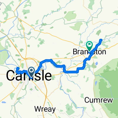 06 Carlisle to Brampton
- Dystans
- 38,8 km
- Przewyższenia
- 337 m
- Spadek
- 285 m
- Lokalizacja
- Carlisle, Anglia, Zjednoczone Królestwo Wielkiej Brytanii
 Rickerby Gardens 5 to Beech Grove 101
- Dystans
- 26,2 km
- Przewyższenia
- 223 m
- Spadek
- 218 m
- Lokalizacja
- Carlisle, Anglia, Zjednoczone Królestwo Wielkiej Brytanii
 Solway
- Dystans
- 60,9 km
- Przewyższenia
- 20 m
- Spadek
- 20 m
- Lokalizacja
- Carlisle, Anglia, Zjednoczone Królestwo Wielkiej Brytanii
 Eden Street 62 to Kings Arms, Bowness-on-Solway
- Dystans
- 20,7 km
- Przewyższenia
- 146 m
- Spadek
- 151 m
- Lokalizacja
- Carlisle, Anglia, Zjednoczone Królestwo Wielkiej Brytanii
 Girolibero: Il vallo di Adriano e il Lake District
- Dystans
- 352 km
- Przewyższenia
- 2037 m
- Spadek
- 2047 m
- Lokalizacja
- Carlisle, Anglia, Zjednoczone Królestwo Wielkiej Brytanii
 Currock2Wreay2Durdar - OR
- Dystans
- 15,6 km
- Przewyższenia
- 104 m
- Spadek
- 105 m
- Lokalizacja
- Carlisle, Anglia, Zjednoczone Królestwo Wielkiej Brytanii
Otwórz ją w aplikacji