
Fennell Bay mit dem Fahrrad
Entdecke eine Karte mit 85 Radrouten und Radwegen rund um Fennell Bay, erstellt von unserer Community.
Regionenporträt
Lerne Fennell Bay kennen
Finde die richtige Fahrradroute in Fennell Bay, wo wir 85 Fahrradrouten für dich zum Erkunden haben. Die meisten Leute fahren hier in den Monaten Februar und April Fahrrad.
1.081 km
Aufgezeichnete Strecken
85
Fahrradrouten
1.474
Einwohner
Community
Die aktivsten Nutzer in Fennell Bay


Von unserer Community
Die besten Fahrradrouten in und um Fennell Bay

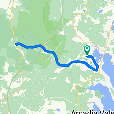
Circumnavigate Edmonds Bay/Stoney Creek
Fahrradtour in Fennell Bay, New South Wales, Australien
- 9,2 km
- Distanz
- 54 m
- Aufstieg
- 63 m
- Abstieg

Toronto Pool (short) + Back Home (long)
Fahrradtour in Fennell Bay, New South Wales, Australien
- 12,1 km
- Distanz
- 109 m
- Aufstieg
- 106 m
- Abstieg

Blackalls Park to North Toronto Industrial Estate then home through Fassifern
Fahrradtour in Fennell Bay, New South Wales, Australien
- 8,5 km
- Distanz
- 74 m
- Aufstieg
- 48 m
- Abstieg

Around Fennell Bay & connected suburbs
Fahrradtour in Fennell Bay, New South Wales, Australien
- 13,2 km
- Distanz
- 82 m
- Aufstieg
- 94 m
- Abstieg
Mehr Routen entdecken
 Blackalls Park - THS - Toronto - home - 10.5km
- Distanz
- 10,7 km
- Aufstieg
- 81 m
- Abstieg
- 80 m
- Standort
- Fennell Bay, New South Wales, Australien
 Blackalls Park Public School to Toronto Pool +
- Distanz
- 10,5 km
- Aufstieg
- 67 m
- Abstieg
- 66 m
- Standort
- Fennell Bay, New South Wales, Australien
 Random Ride South of Fennell Bay Bridge
- Distanz
- 16,4 km
- Aufstieg
- 103 m
- Abstieg
- 135 m
- Standort
- Fennell Bay, New South Wales, Australien
 Lapped Fennell Bay & Edmunds Bay + Toronto Shops
- Distanz
- 11,2 km
- Aufstieg
- 87 m
- Abstieg
- 85 m
- Standort
- Fennell Bay, New South Wales, Australien
 Macca's coffee run - 7.5+ km round-trip
- Distanz
- 8 km
- Aufstieg
- 65 m
- Abstieg
- 70 m
- Standort
- Fennell Bay, New South Wales, Australien
 Bay Lap and Lunch at McCafe TOR
- Distanz
- 13 km
- Aufstieg
- 84 m
- Abstieg
- 81 m
- Standort
- Fennell Bay, New South Wales, Australien
 BPPS to Freemans Waterhole Subway
- Distanz
- 28,6 km
- Aufstieg
- 197 m
- Abstieg
- 197 m
- Standort
- Fennell Bay, New South Wales, Australien
 Toronto High School, Coles, home
- Distanz
- 16,7 km
- Aufstieg
- 84 m
- Abstieg
- 88 m
- Standort
- Fennell Bay, New South Wales, Australien