
Wilsonton Heights mit dem Fahrrad
Entdecke eine Karte mit 122 Radrouten und Radwegen rund um Wilsonton Heights, erstellt von unserer Community.
Regionenporträt
Lerne Wilsonton Heights kennen
Finde die richtige Fahrradroute in Wilsonton Heights, wo wir 122 Fahrradrouten für dich zum Erkunden haben. Die meisten Leute fahren hier in den Monaten Januar und Mai Fahrrad.
2.224 km
Aufgezeichnete Strecken
122
Fahrradrouten
2.822
Einwohner
Community
Die aktivsten Nutzer in Wilsonton Heights
Von unserer Community
Die besten Fahrradrouten in und um Wilsonton Heights
Kleinton - Meringandan - Highfields
Fahrradtour in Wilsonton Heights, State of Queensland, Australien
- 17,9 km
- Distanz
- 264 m
- Aufstieg
- 263 m
- Abstieg
Highfields (Queensland) East Path Loop
Fahrradtour in Wilsonton Heights, State of Queensland, Australien
Suburban shared paths are not to be ignored. They are easy to ride and provide the opportunity for scenes best seen from the seat of a recumbent trike. There is no need to ride fast when there is so much to see. Almost every house in Highfields East is different from the others. The rural past peeks through for those who look. The gardens, the greenery are impressive.
- 8,7 km
- Distanz
- 36 m
- Aufstieg
- 34 m
- Abstieg
Collingwood descent
Fahrradtour in Wilsonton Heights, State of Queensland, Australien
This is a great ride incorporating just about all gravel road with a tremedous 10 km downhill run into Murphys Creek
- 35,1 km
- Distanz
- 298 m
- Aufstieg
- 694 m
- Abstieg
kingsthorpe gorrie highfields
Fahrradtour in Wilsonton Heights, State of Queensland, Australien
- 44,9 km
- Distanz
- 620 m
- Aufstieg
- 620 m
- Abstieg
Mehr Routen entdecken
- 87 Holberton Street, Newtown to 40 Wirra Wirra Street, East Toowoomba
- Distanz
- 6,5 km
- Aufstieg
- 126 m
- Abstieg
- 61 m
- Standort
- Wilsonton Heights, State of Queensland, Australien
- 15Km bike route
- Distanz
- 15,1 km
- Aufstieg
- 184 m
- Abstieg
- 170 m
- Standort
- Wilsonton Heights, State of Queensland, Australien
- Highfields to Highfields
- Distanz
- 11,3 km
- Aufstieg
- 76 m
- Abstieg
- 78 m
- Standort
- Wilsonton Heights, State of Queensland, Australien
- Harrocks Rd
- Distanz
- 5 km
- Aufstieg
- 11 m
- Abstieg
- 222 m
- Standort
- Wilsonton Heights, State of Queensland, Australien
- Alexander Avenue 6, Highfields to Alexander Avenue 6, Highfields
- Distanz
- 14 km
- Aufstieg
- 197 m
- Abstieg
- 197 m
- Standort
- Wilsonton Heights, State of Queensland, Australien
- morning loop
- Distanz
- 18,7 km
- Aufstieg
- 159 m
- Abstieg
- 160 m
- Standort
- Wilsonton Heights, State of Queensland, Australien
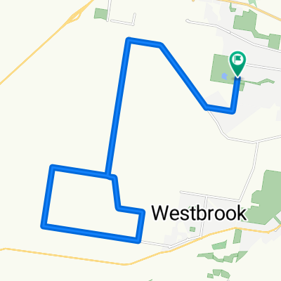
- Snail-like route in Newtown
- Distanz
- 2,3 km
- Aufstieg
- 0 m
- Abstieg
- 56 m
- Standort
- Wilsonton Heights, State of Queensland, Australien
- Alexander Avenue 6, Highfields to Alexander Avenue 6, Highfields
- Distanz
- 13,6 km
- Aufstieg
- 117 m
- Abstieg
- 110 m
- Standort
- Wilsonton Heights, State of Queensland, Australien